Uphill
69m
Length
4km
Duration
1h
Elev gain
69m
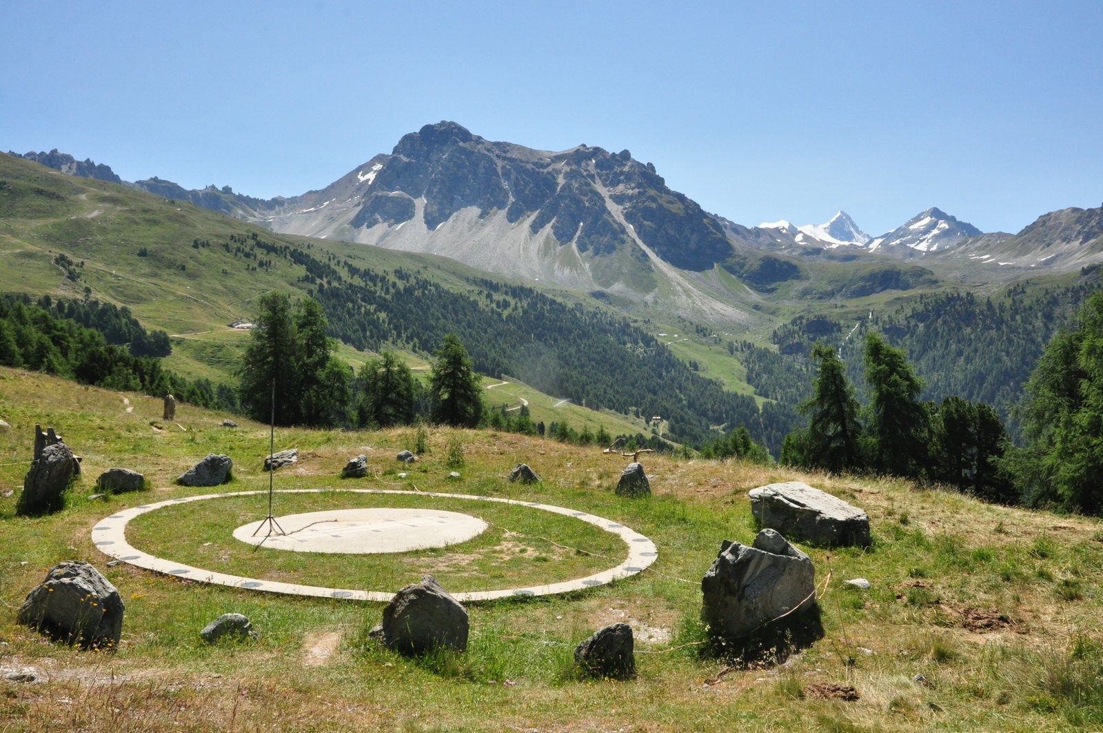
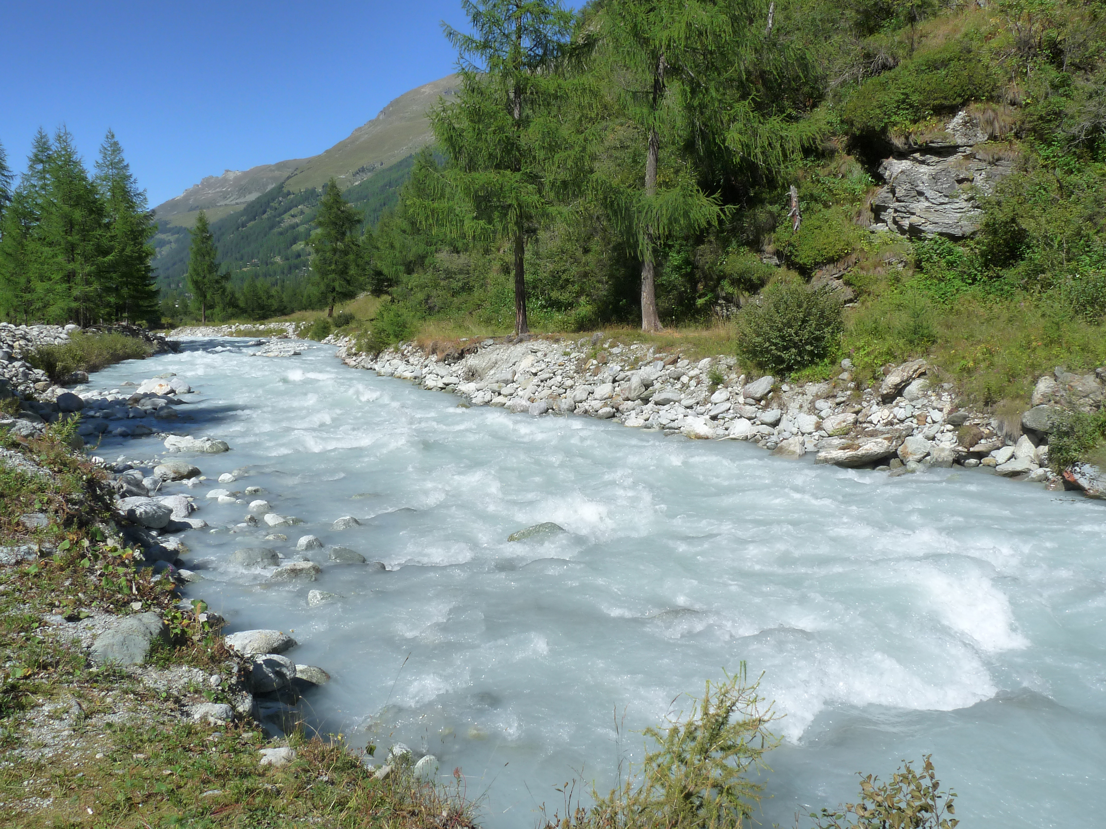
Small family excursion from Zinal. The route runs along the beautiful Navisence river via both banks in order to offer a pretty hike accessible to all, in a splendid natural setting.

Already more than 200,000 users!
Uphill
69m
Highest point
1738m
Downhill
69m
Lowest point
1665m
Route type
Loop
Download the map on your smartphone to save battery and rest assured to always keep access to the route, even without signal.
Includes IGN France and Swisstopo.
I indicate whether dogs are allowed or prohibited on this trail
From May to October
0 ratings
Also enjoy:

Already more than 200,000 users!