Uphill
1563m
Length
15km
Duration
10h30min
Elev gain
1563m
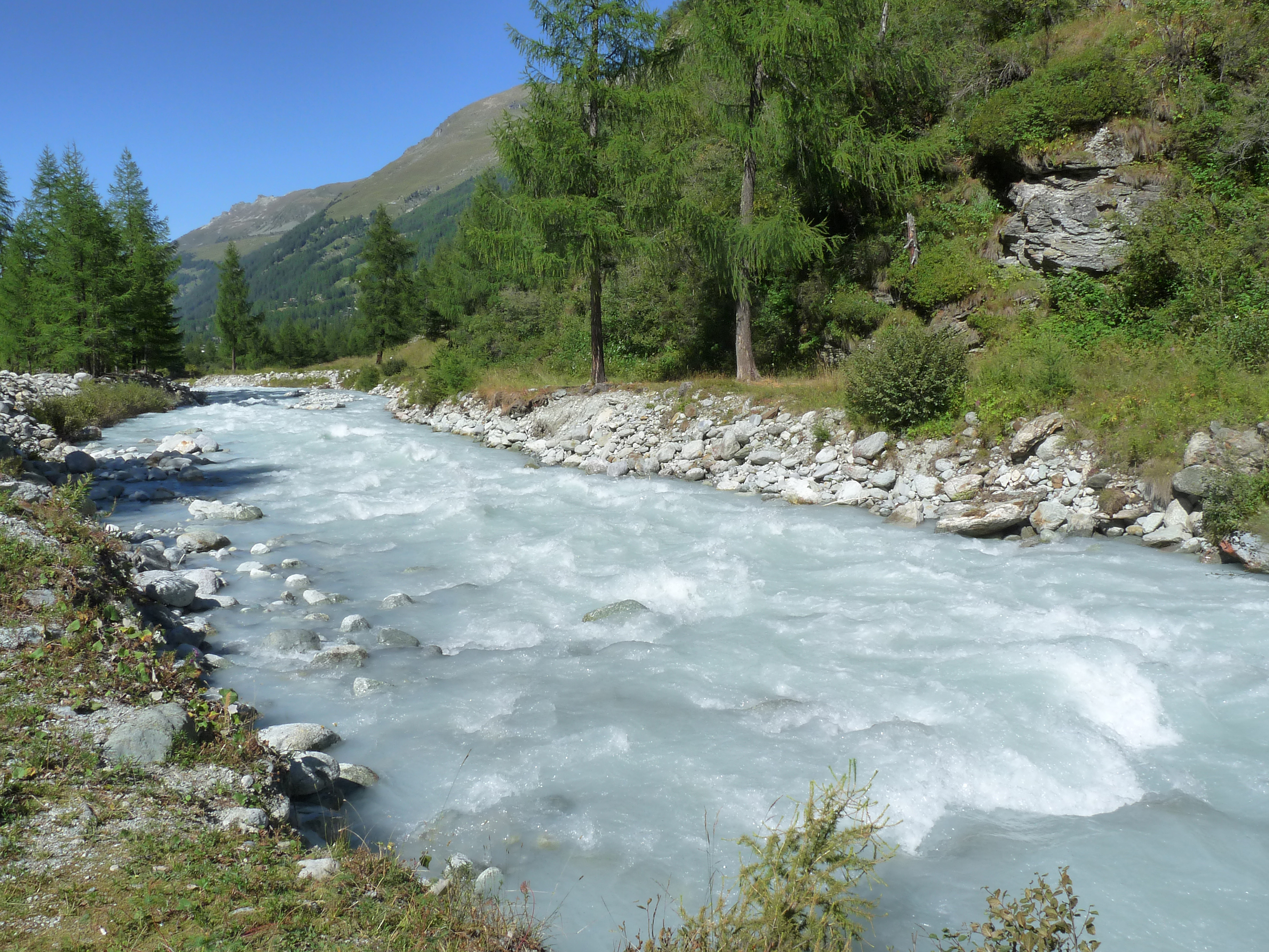
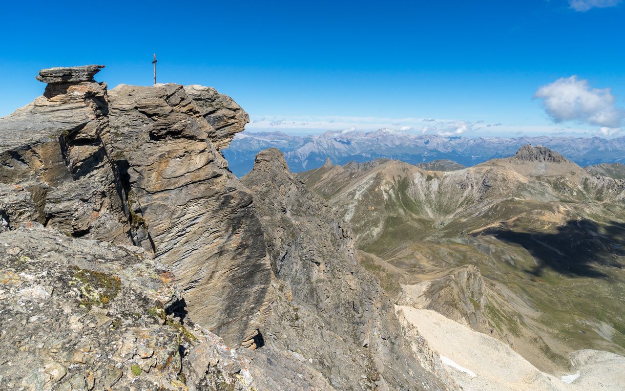
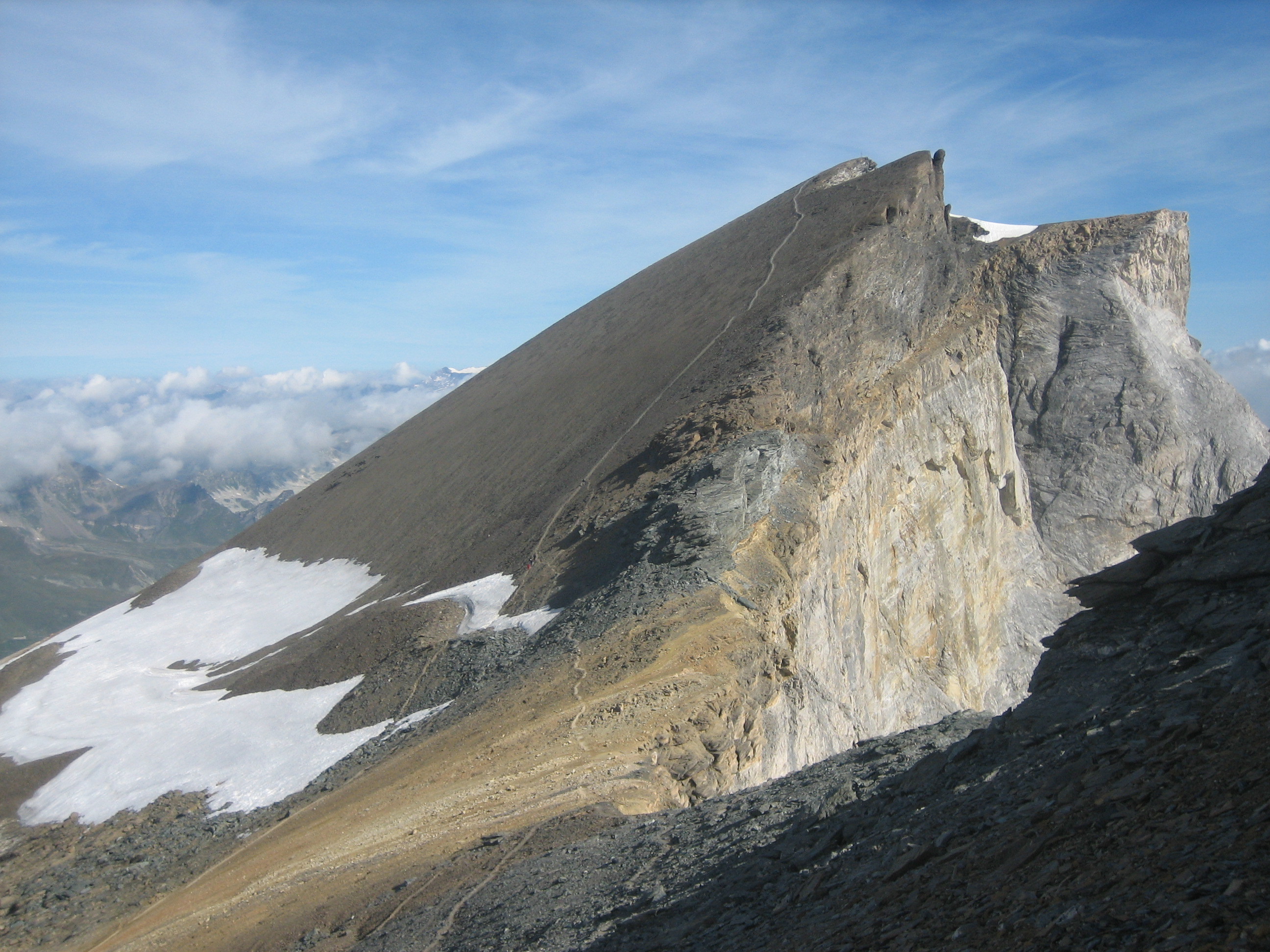
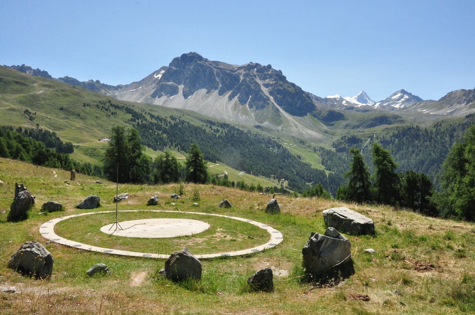
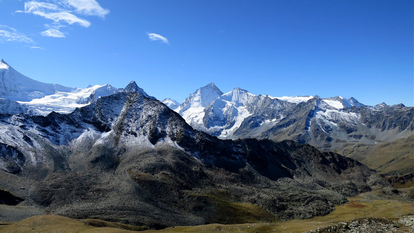
The Tracuit hut, located at 3,256 meters above sea level, is one of the highest refuges in the Alps. This round trip is long and physical, but the efforts are rewarded once you reach the top. Once at the top, the view of the mountains rising to over 4,000 m and the Turtmanngletsher is just fabulous.

Already more than 200,000 users!
Uphill
1563m
Highest point
3243m
Downhill
1563m
Lowest point
1670m
Route type
There and back
Download the map on your smartphone to save battery and rest assured to always keep access to the route, even without signal.
Includes IGN France and Swisstopo.
I indicate whether dogs are allowed or prohibited on this trail
From June to September
0 ratings
Also enjoy:

Already more than 200,000 users!