Uphill
1230m
Length
22km
Duration
9h30min
Elev gain
1230m
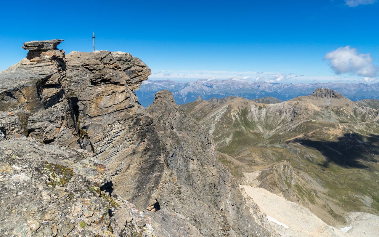
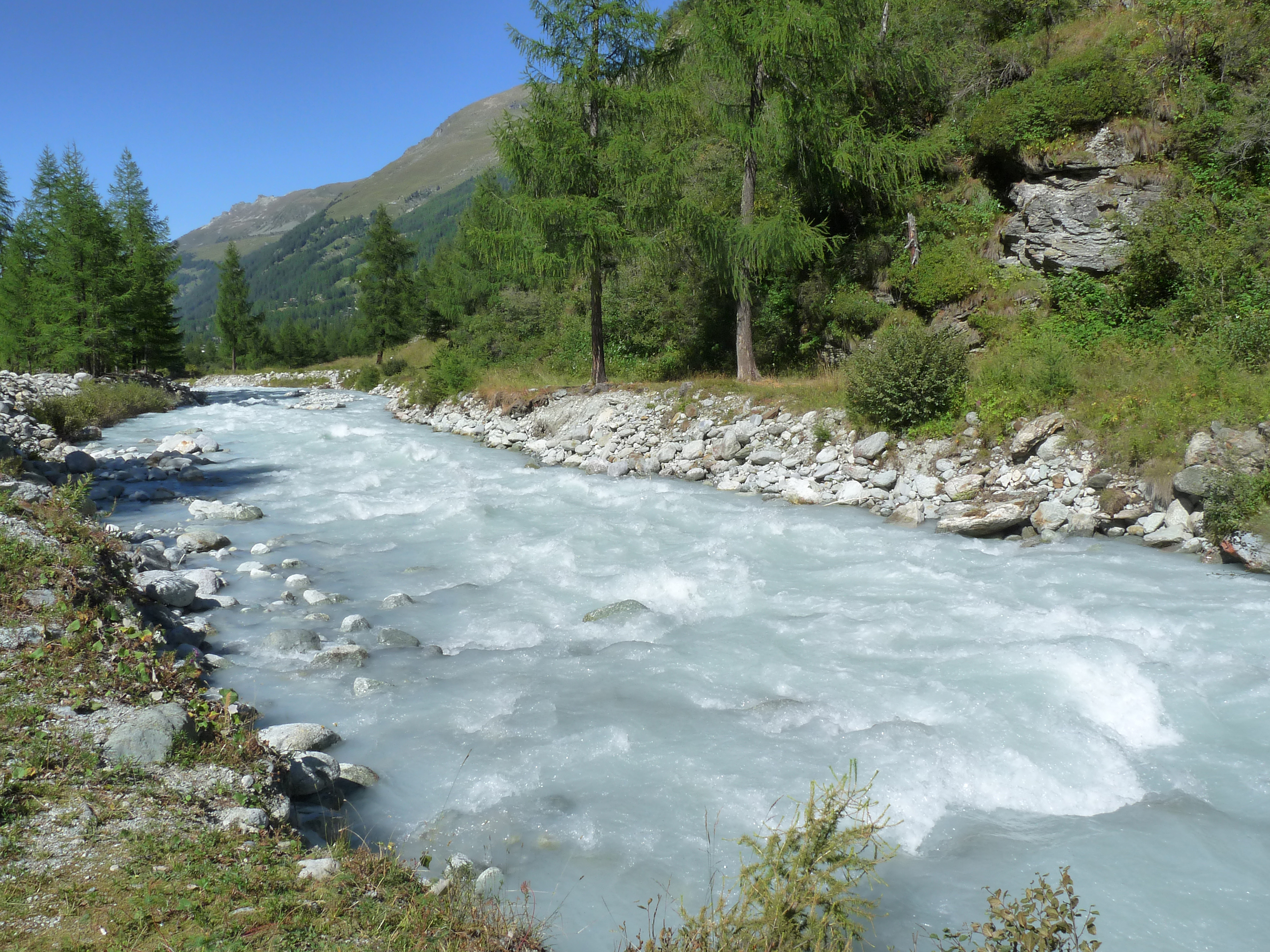
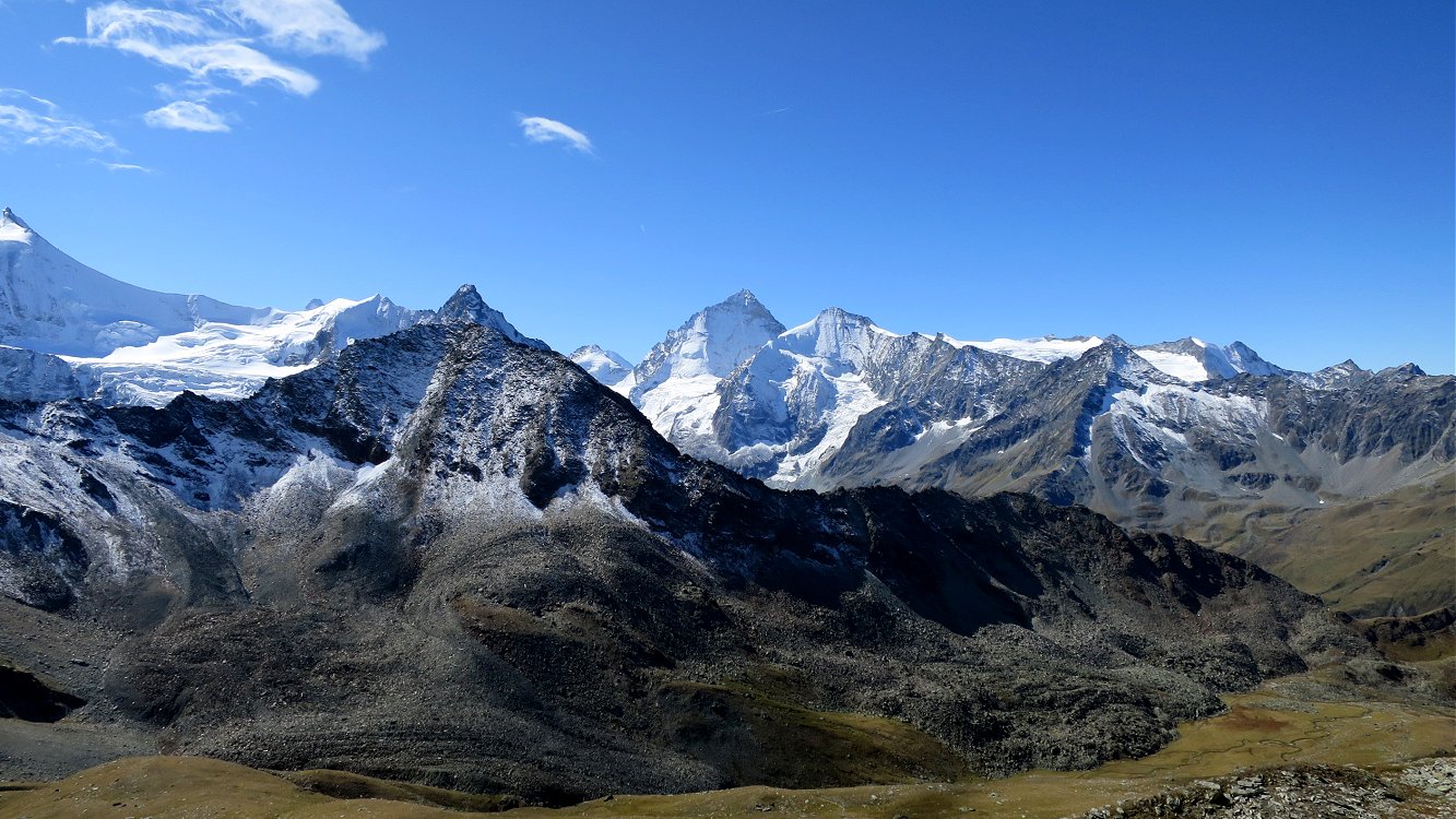
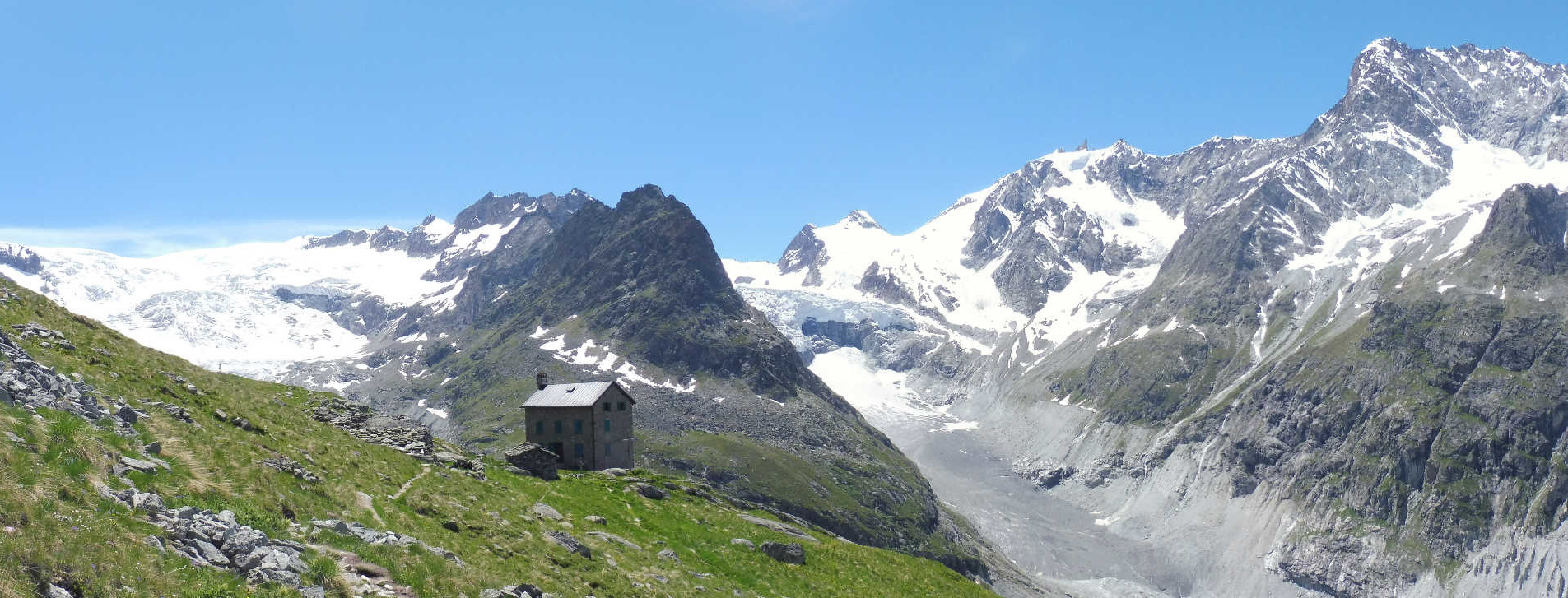
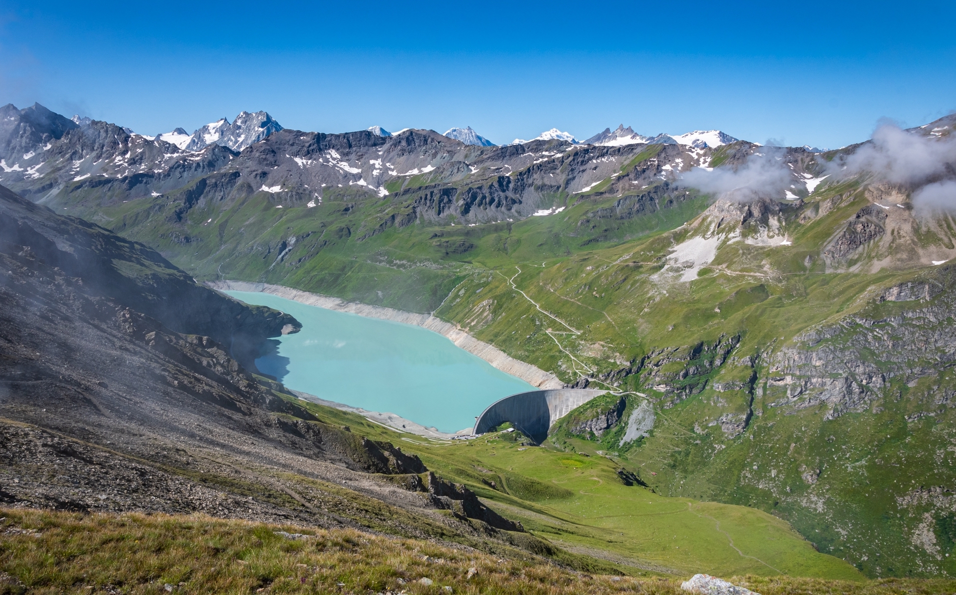
Long but very beautiful hike around the magnificent lake of Moiry, starting from the horn of Sorebois. The route quickly joins a dam, then runs along the lake of Moiry until it joins that of Châteaupré. It then continues towards the Moiry glacier and its cabin. The viewpoints over the Val d'Anniviers and the Val de Moiry keep coming and going, and it's splendid!

Already more than 200,000 users!
Uphill
1230m
Highest point
2829m
Downhill
1230m
Lowest point
2231m
Route type
Loop
Download the map on your smartphone to save battery and rest assured to always keep access to the route, even without signal.
Includes IGN France and Swisstopo.
I indicate whether dogs are allowed or prohibited on this trail
From June to September
1 rating
Also enjoy:

Already more than 200,000 users!