Uphill
1483m
Length
17km
Duration
10h
Elev gain
1483m
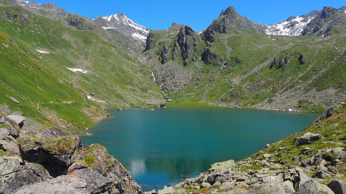
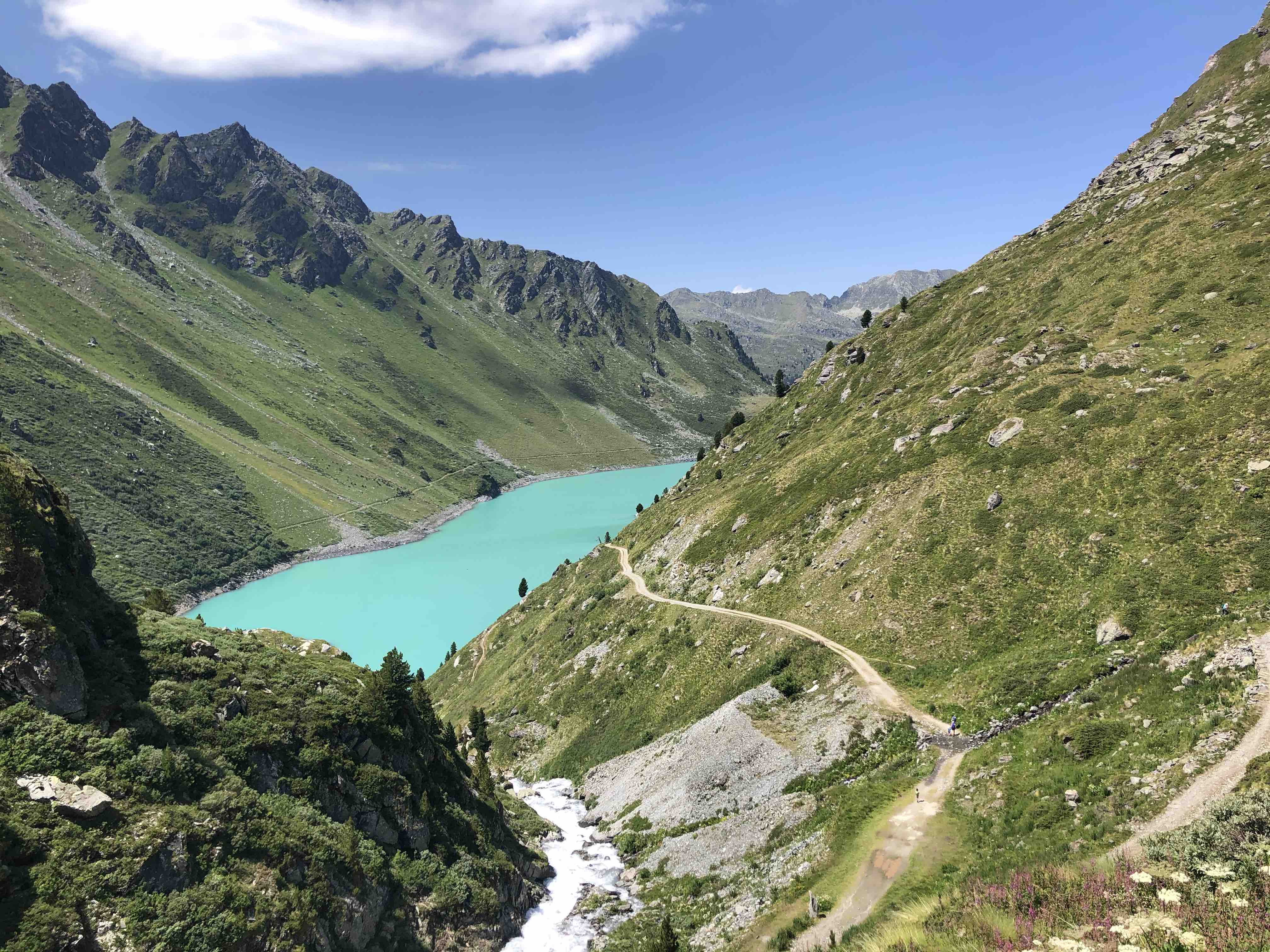
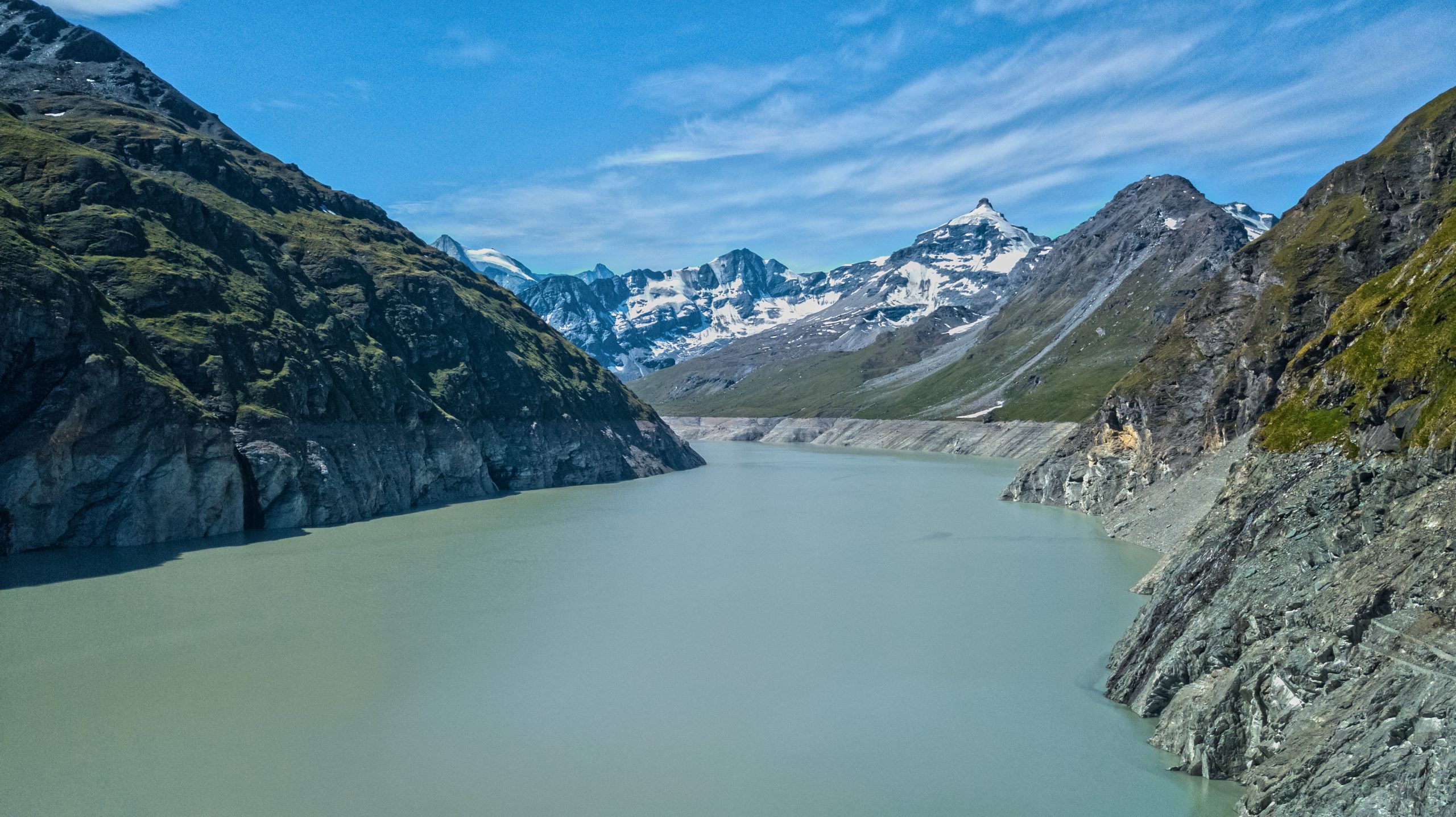
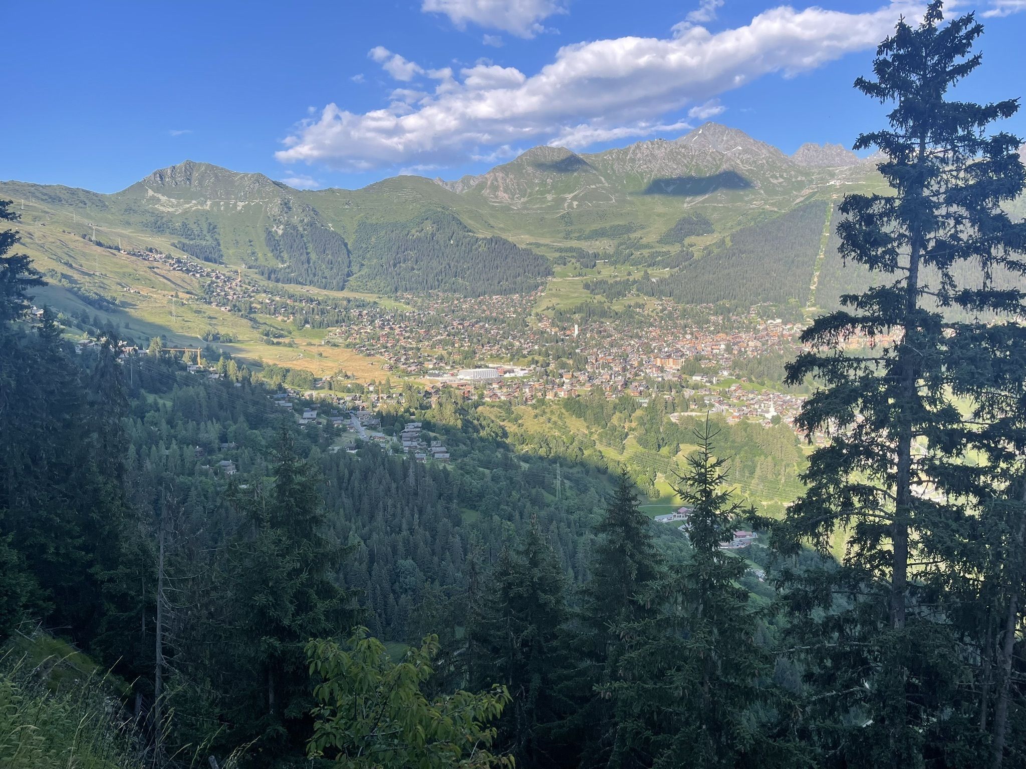
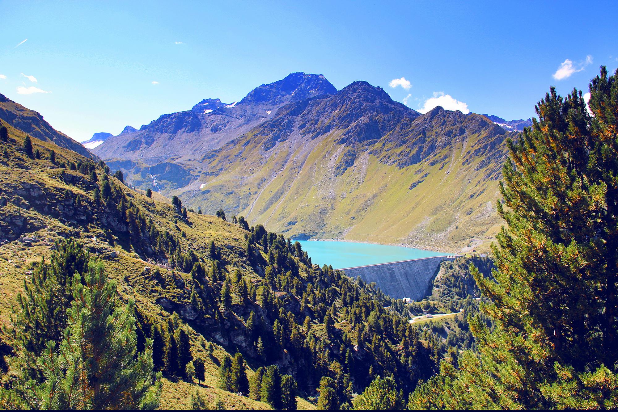
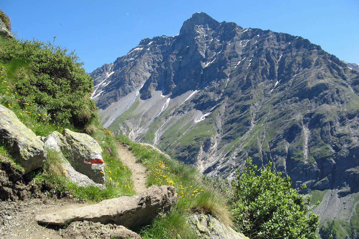
Leaving from the village of Fionnay, this long and beautiful hike sets off to attack the Col des Otanes, located at an altitude of 2,846 metres. The route is relatively wooded and punctuated by several streams offering a magnificent setting, typical of the Valais. The path also passes by the charming Panossière hut, an ideal refuge if you plan to hike over two days.

Already more than 200,000 users!
Uphill
1483m
Highest point
2879m
Downhill
1483m
Lowest point
1493m
Route type
Loop
Download the map on your smartphone to save battery and rest assured to always keep access to the route, even without signal.
Includes IGN France and Swisstopo.
I indicate whether dogs are allowed or prohibited on this trail
From June to September
0 ratings
Also enjoy:

Already more than 200,000 users!