Uphill
176m
Length
9km
Duration
2h30min
Elev gain
176m
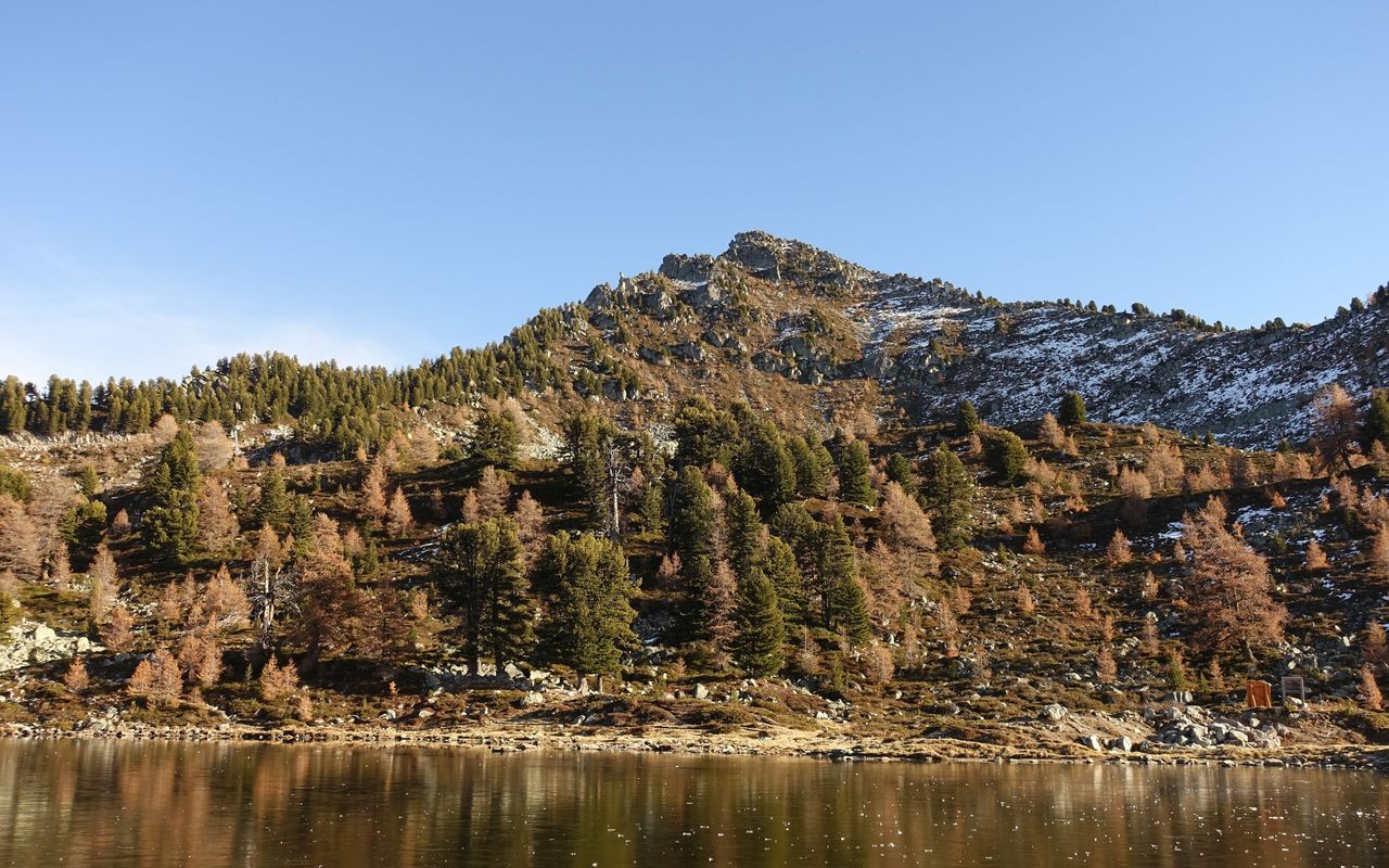
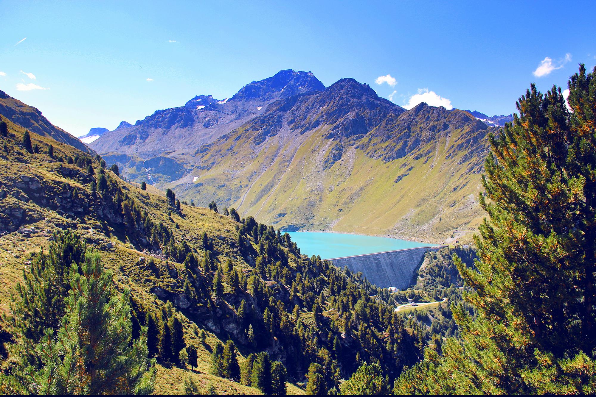
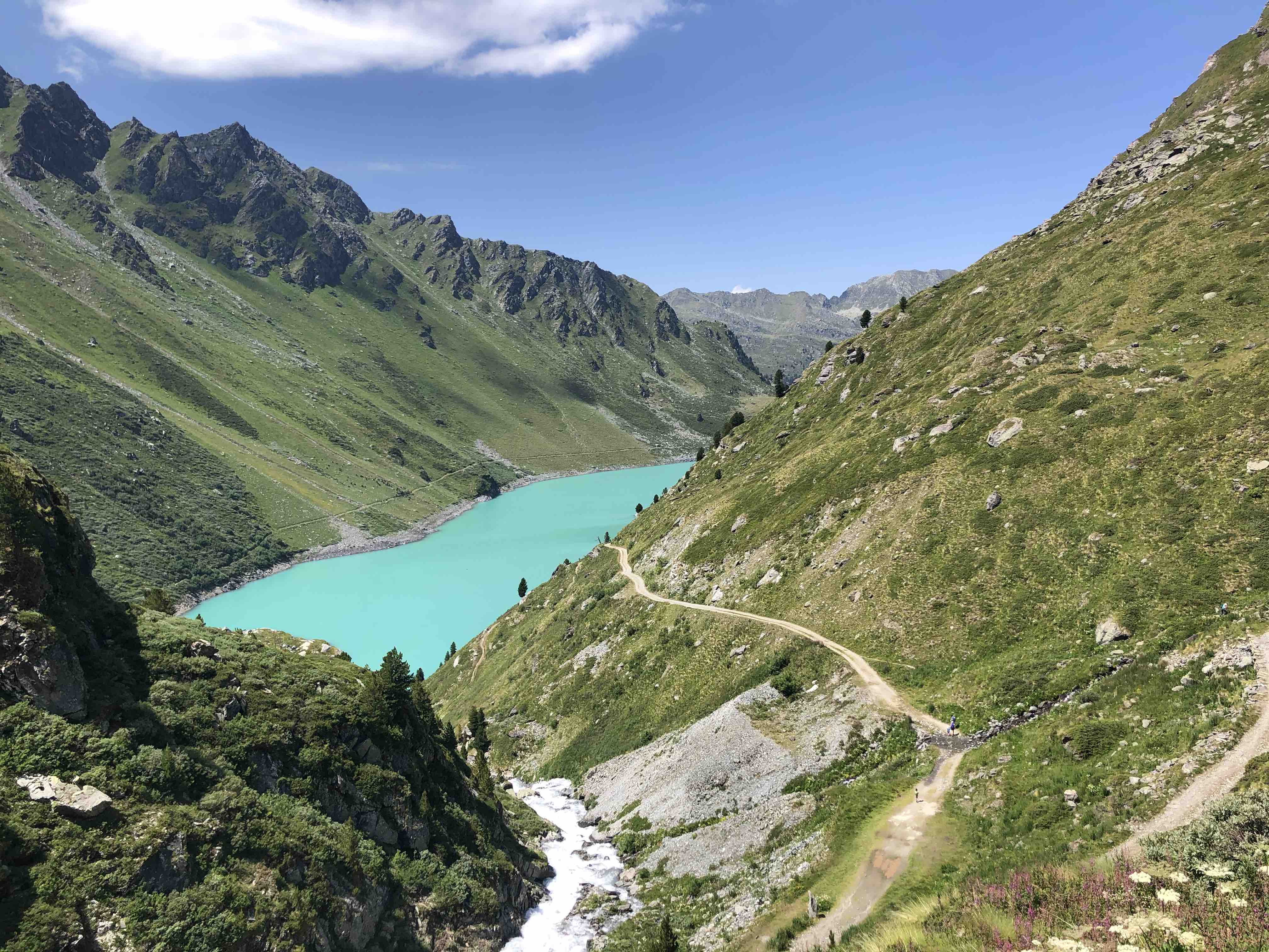
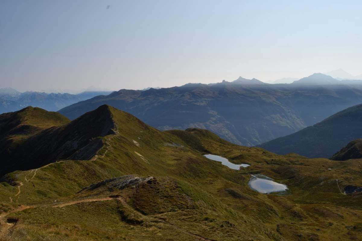
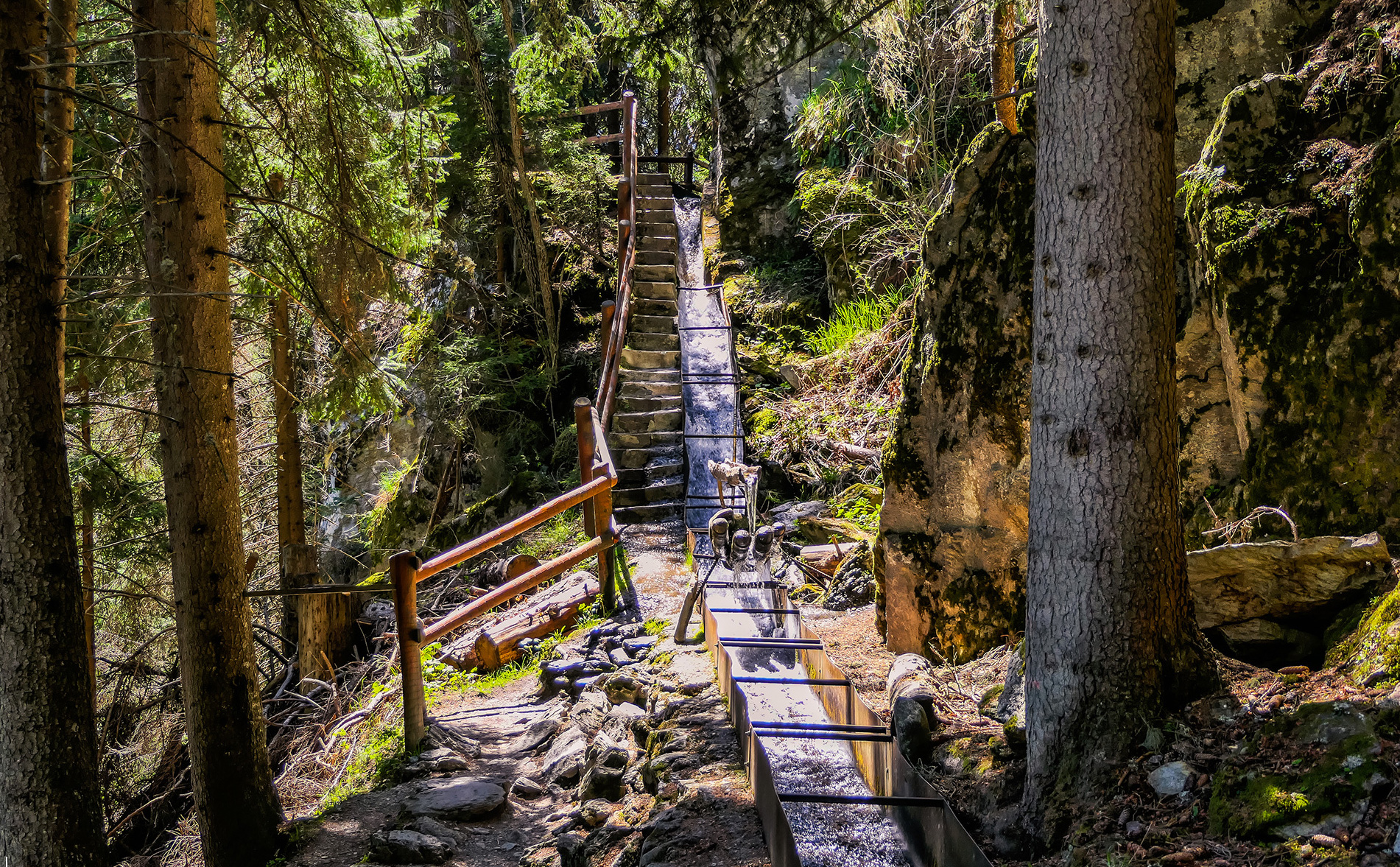
Departing from Haute-Nendaz, in the Valais, this short hike is ideal for a family outing. Indeed, this route, relatively simple, is done on an essentially shaded path and offers sublime landscapes. To top it off, the trail ends up leading to a superb waterfall, ideal for cooling off.

Already more than 200,000 users!
Uphill
176m
Highest point
1484m
Downhill
176m
Lowest point
1348m
Route type
There and back
Download the map on your smartphone to save battery and rest assured to always keep access to the route, even without signal.
Includes IGN France and Swisstopo.
I indicate whether dogs are allowed or prohibited on this trail
Can be difficult in Winter
1 rating
Also enjoy:

Already more than 200,000 users!