Uphill
1030m
Length
14km
Duration
7h
Elev gain
1030m
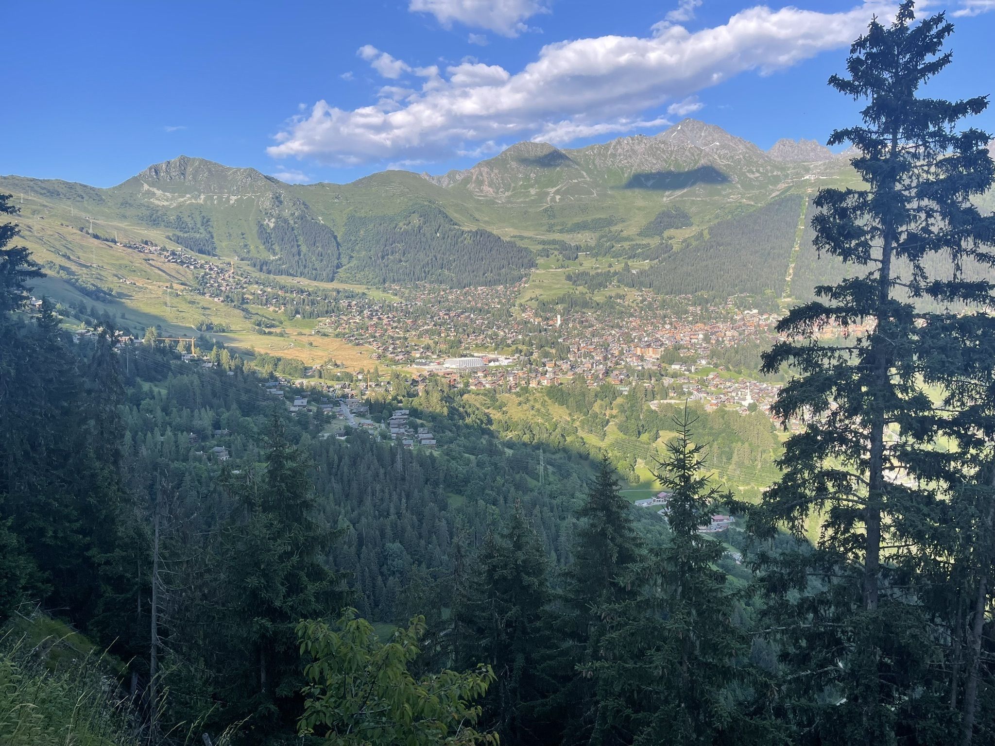
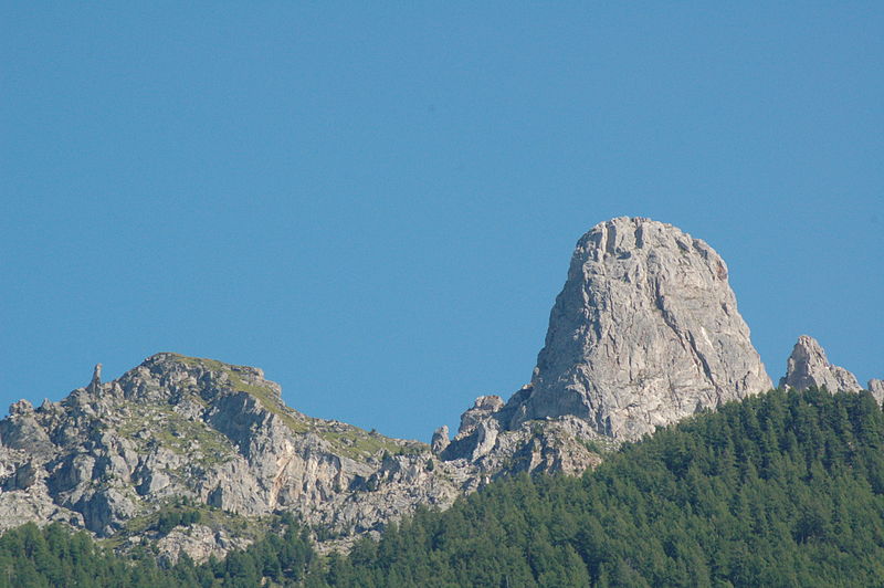
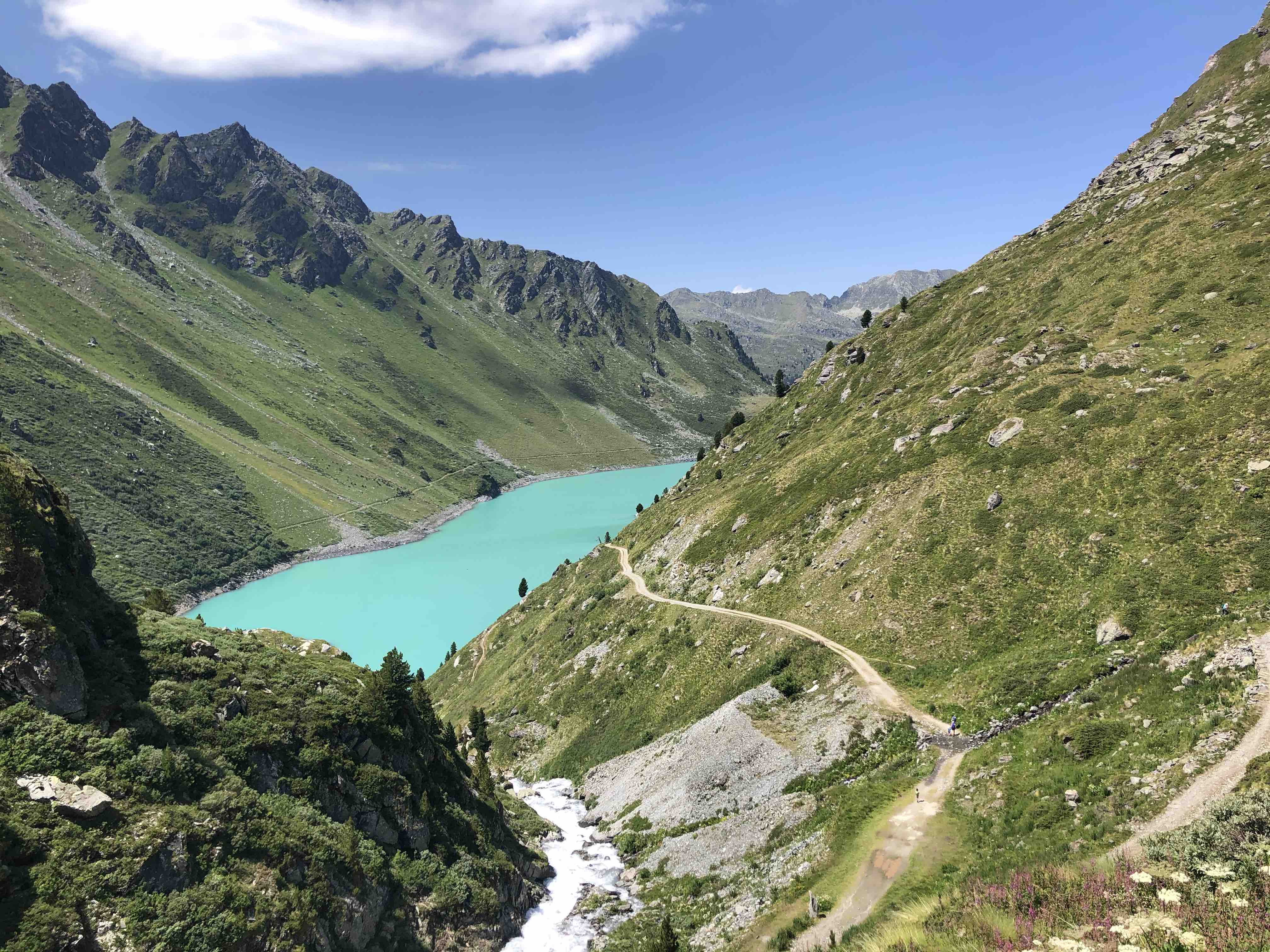
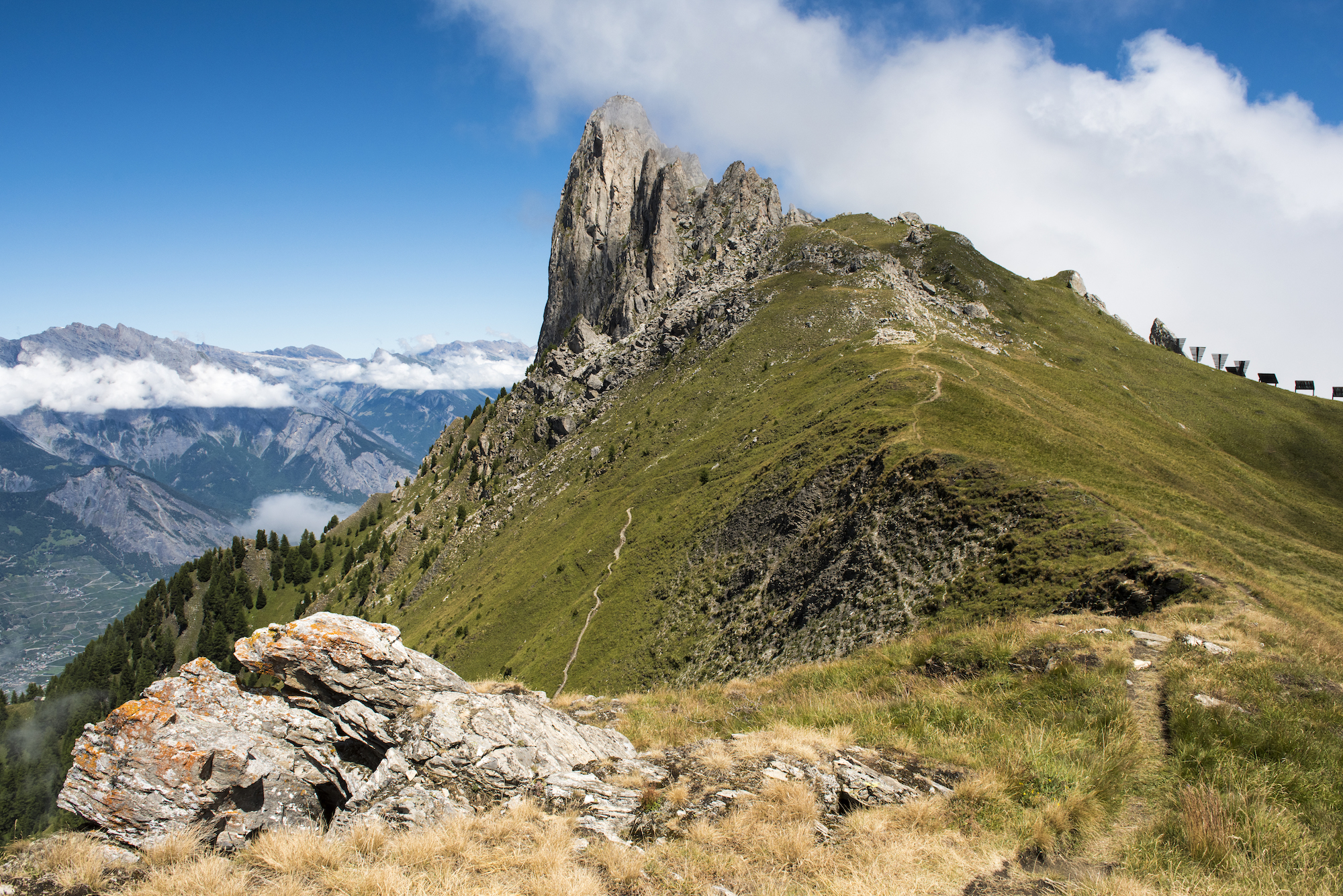
Here is a long and beautiful walk that begins in Verbier, a mountain village very popular with English tourists. The route makes a loop passing by the summit of Pierre Avoi, located at 2,473 meters above sea level, then joins the beautiful fall of the Bisse. It is then necessary to return to the direction of the starting point in order to close this hike.

Already more than 200,000 users!
Uphill
1030m
Highest point
2410m
Downhill
1030m
Lowest point
1456m
Route type
Loop
Download the map on your smartphone to save battery and rest assured to always keep access to the route, even without signal.
Includes IGN France and Swisstopo.
I indicate whether dogs are allowed or prohibited on this trail
From June to September
1 rating
Also enjoy:

Already more than 200,000 users!