Uphill
407m
Length
9km
Duration
3h
Elev gain
407m
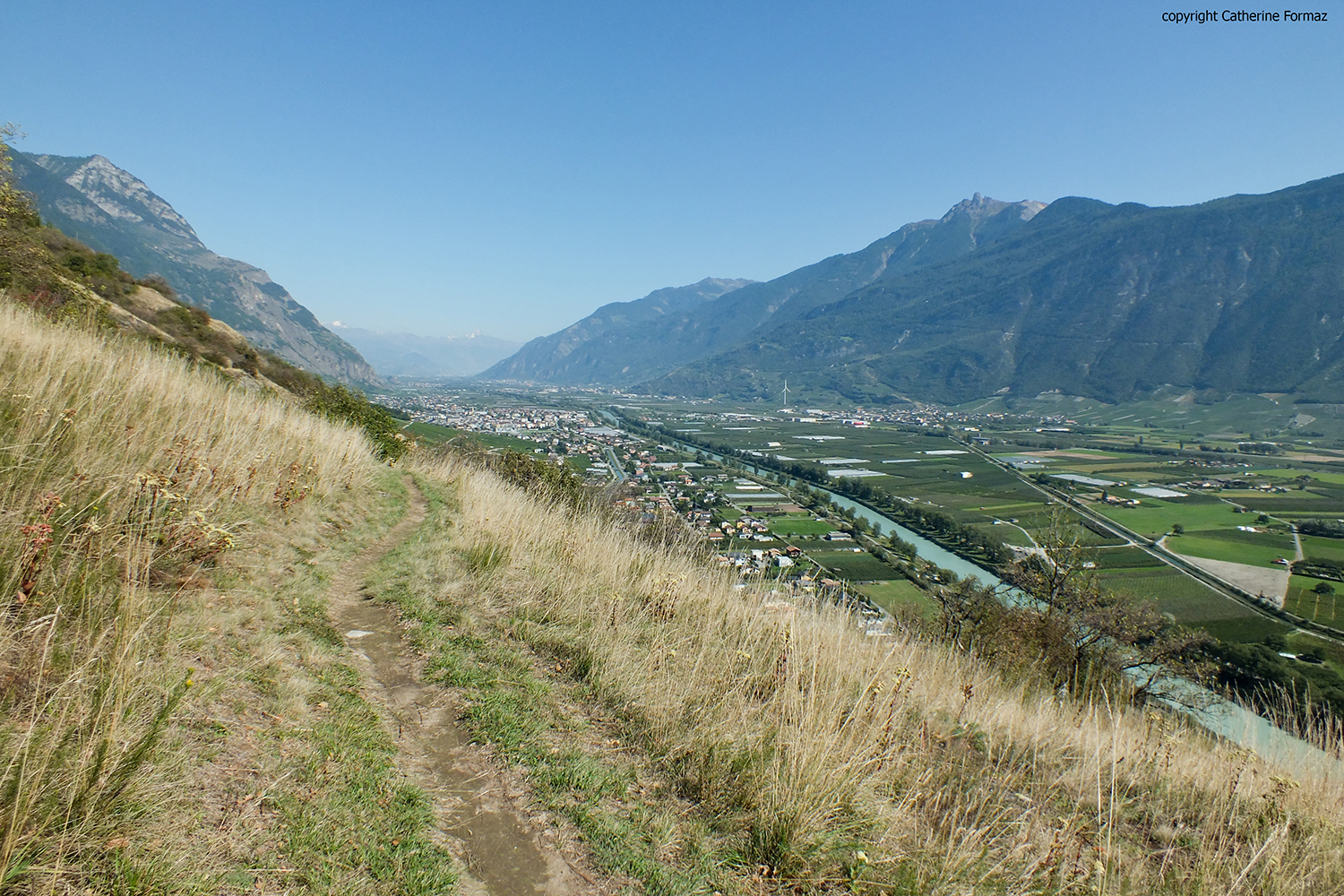
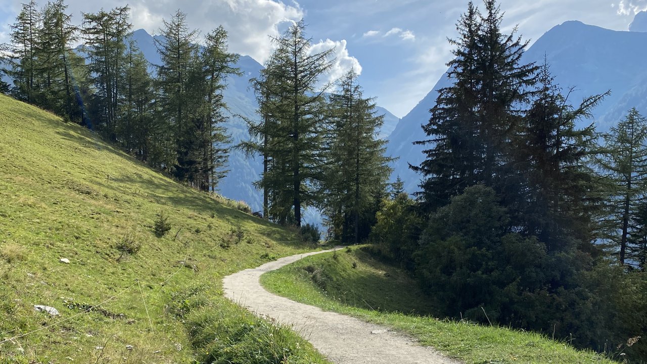
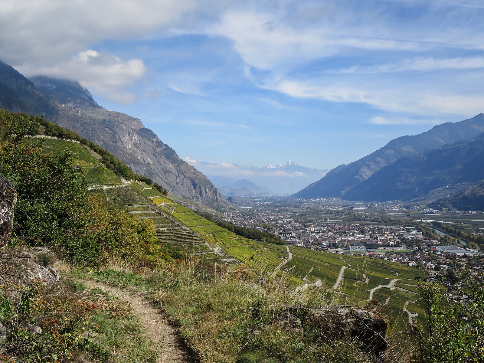
Departing from the Folterres car park, this loop route alternates between forests and meadows. The path also passes through the hamlet of Tassonnière which offers a superb view of the valley and has some remarkable buildings. It then winds between the vines to the starting point.

Already more than 200,000 users!
Uphill
407m
Highest point
698m
Downhill
407m
Lowest point
469m
Route type
Loop
Download the map on your smartphone to save battery and rest assured to always keep access to the route, even without signal.
Includes IGN France and Swisstopo.
I indicate whether dogs are allowed or prohibited on this trail
All year
0 ratings
Also enjoy:

Already more than 200,000 users!