Uphill
535m
Length
7km
Duration
3h30min
Elev gain
535m
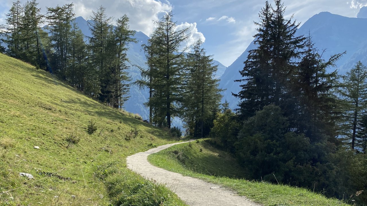
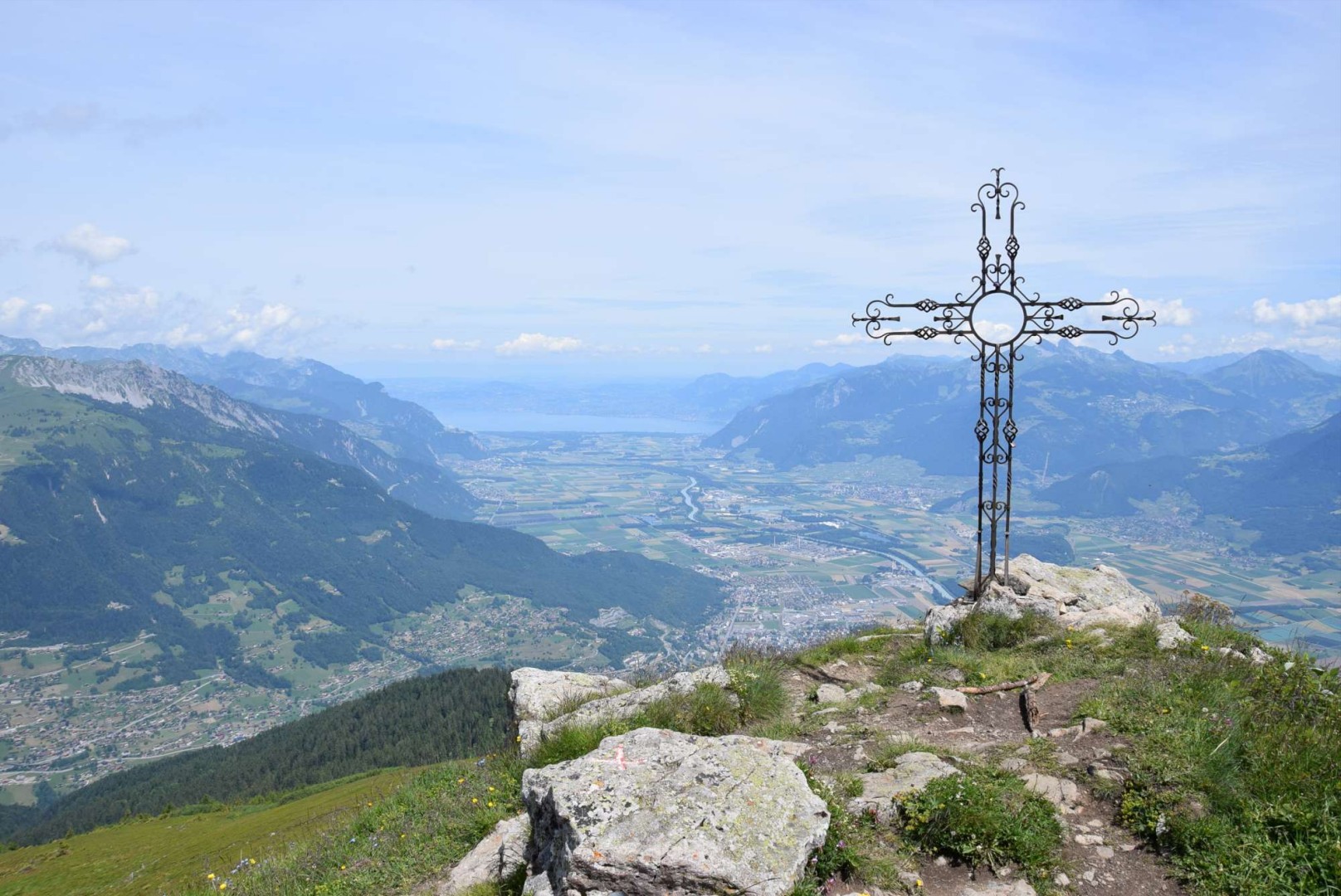
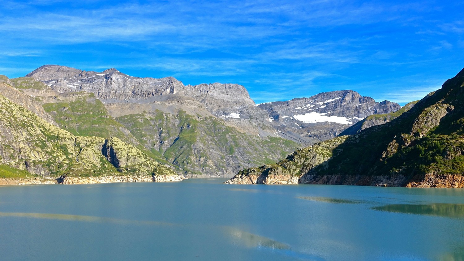
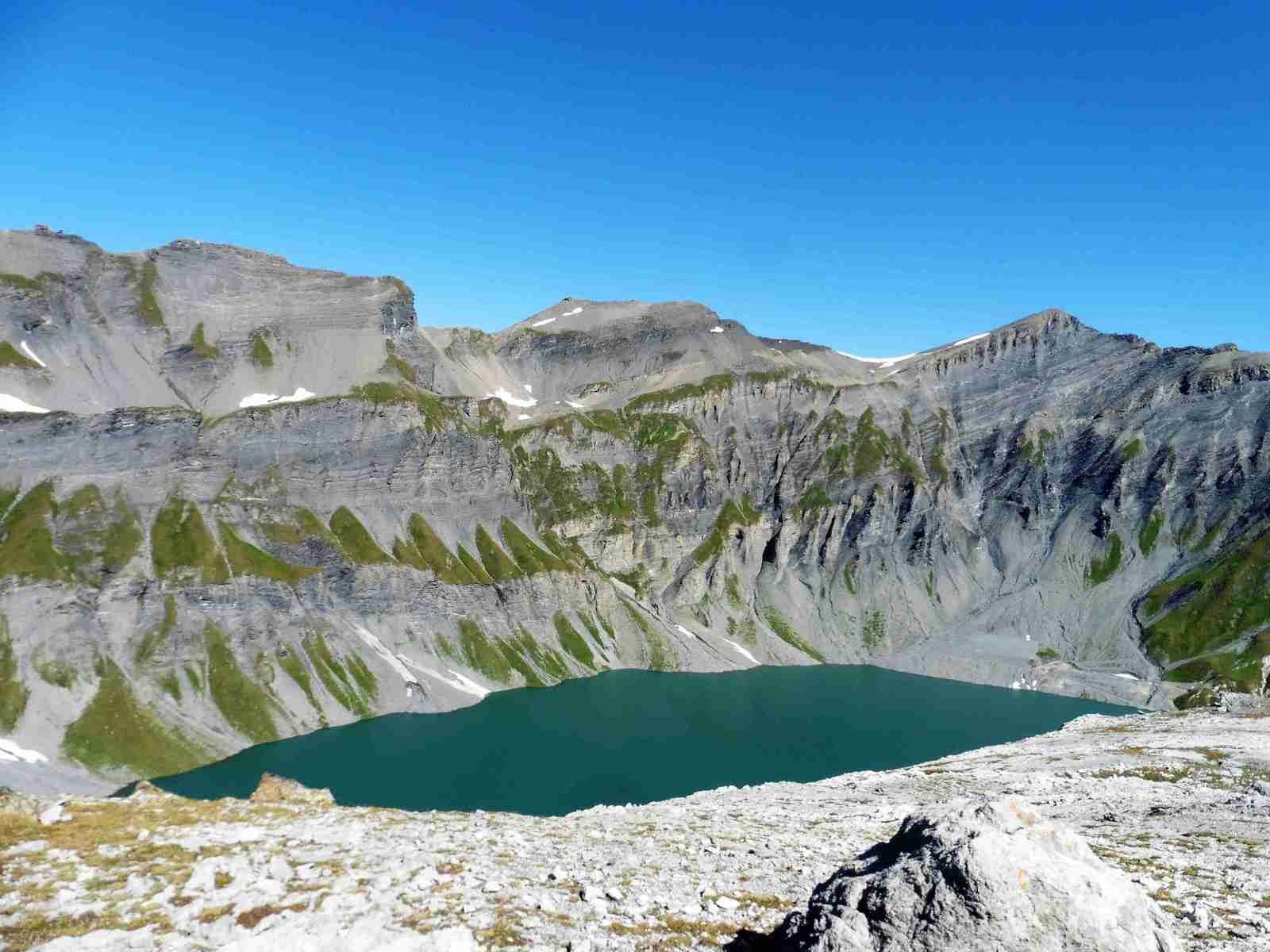
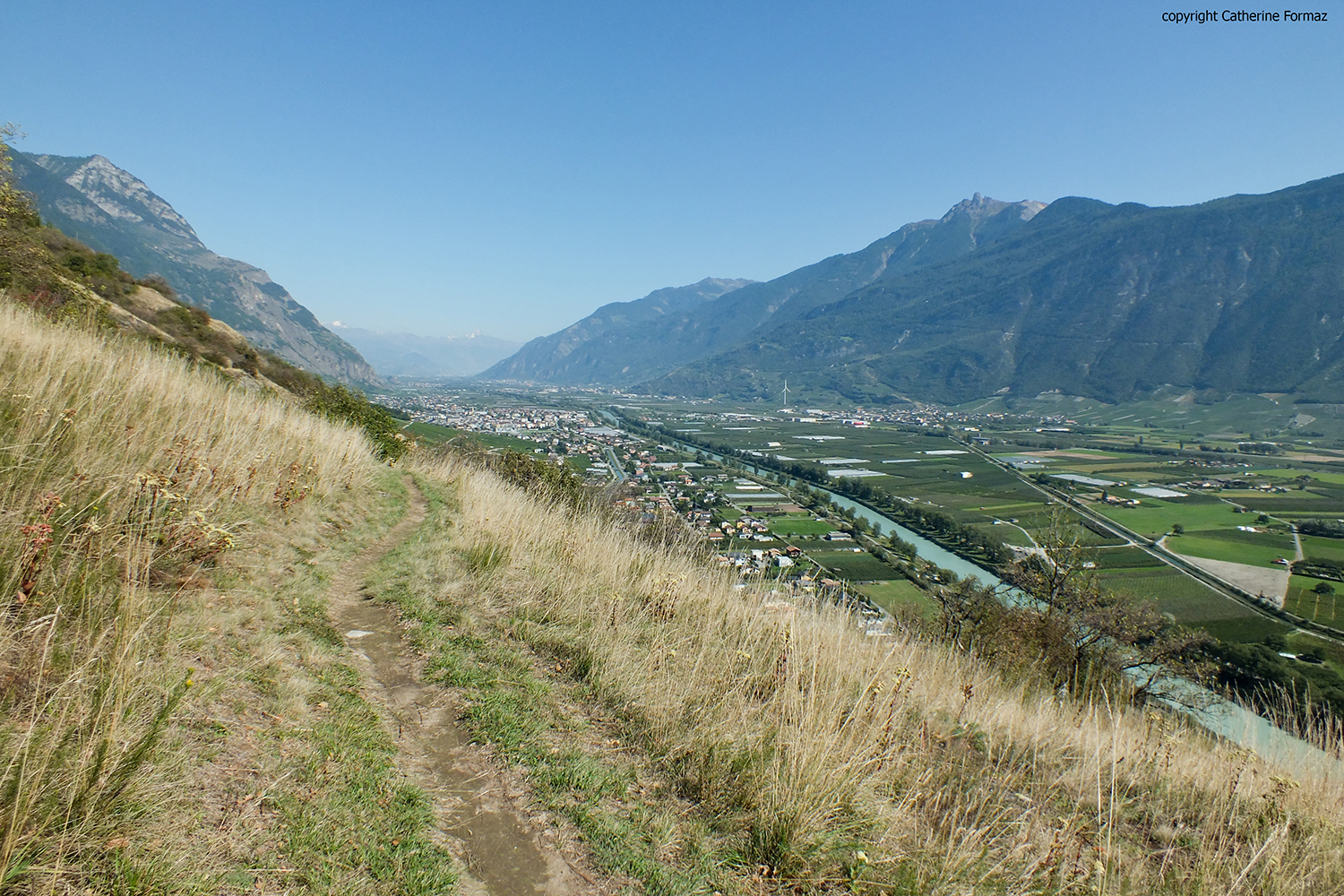
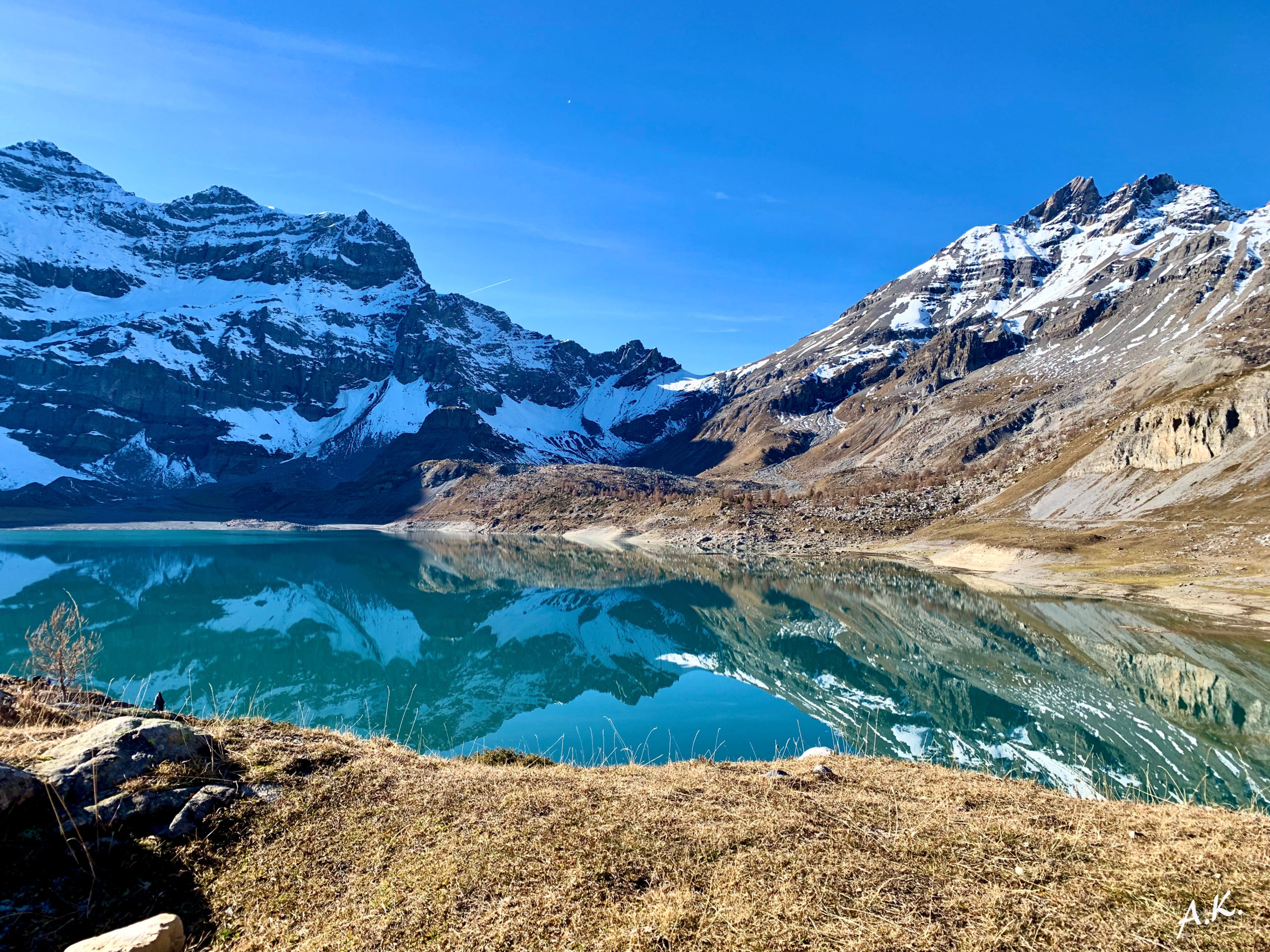
Nice hike to discover Lake Salanfe, departing from Van d'en Haut. The route makes a round trip to the lake located in the town of Evionnaz, formed by the Salanfe dam. Once at the top, the view is splendid.

Already more than 200,000 users!
Uphill
535m
Highest point
1934m
Downhill
535m
Lowest point
1396m
Route type
There and back
Download the map on your smartphone to save battery and rest assured to always keep access to the route, even without signal.
Includes IGN France and Swisstopo.
I indicate whether dogs are allowed or prohibited on this trail
From May to October
2 ratings
Also enjoy:

Already more than 200,000 users!