Uphill
897m
Length
15km
Duration
6h30min
Elev gain
897m
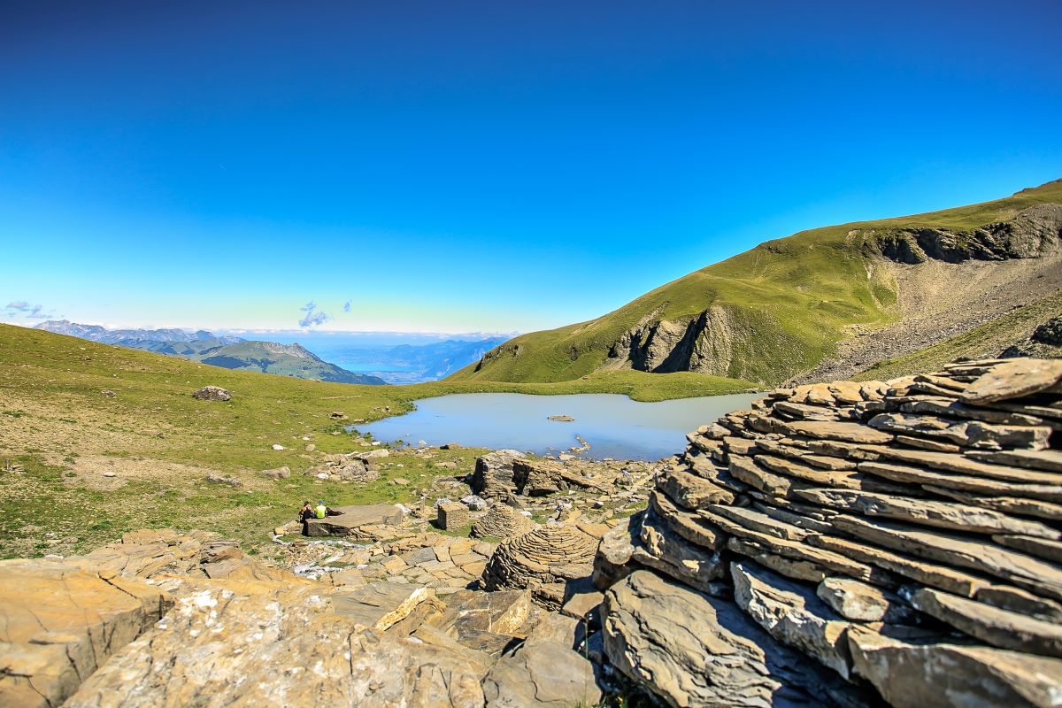
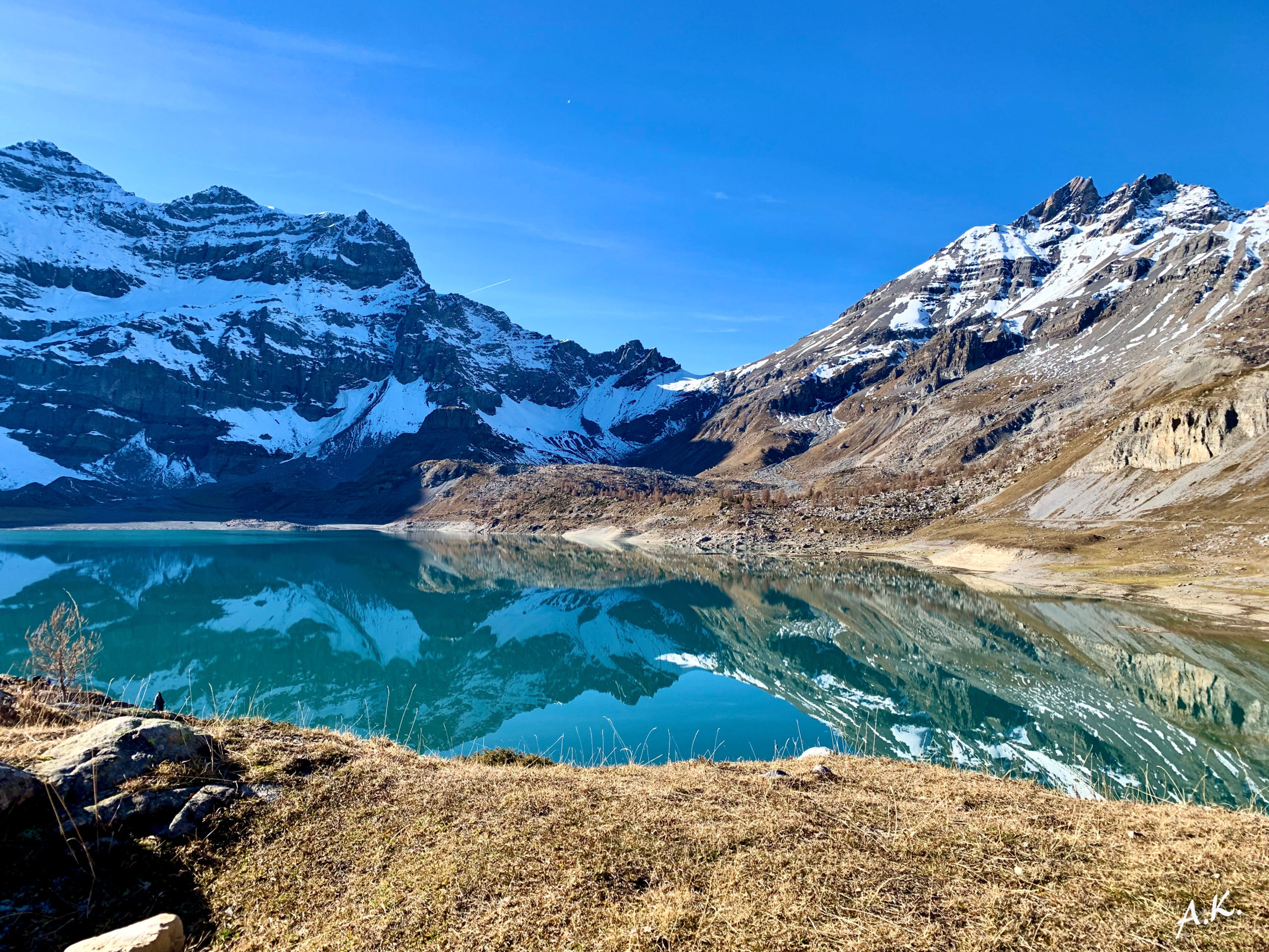
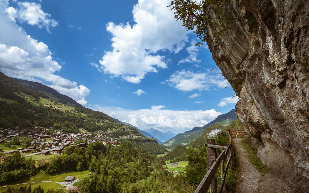
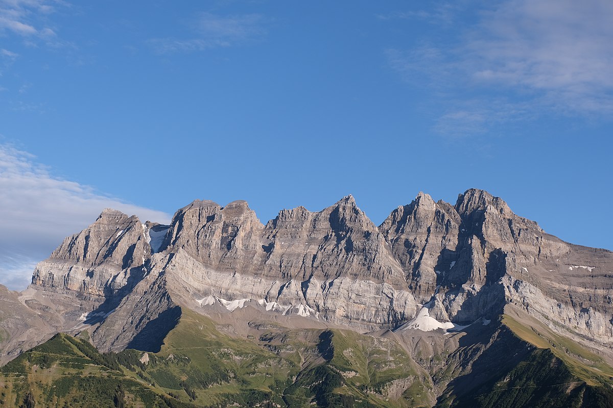
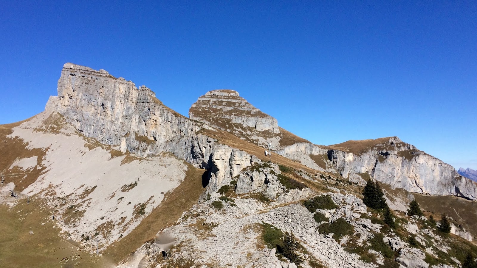
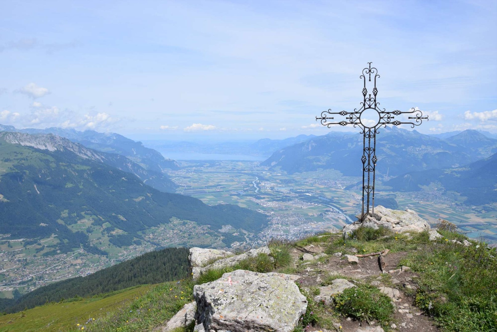
Leaving from Les Cerniers, this long and difficult hike sets off to attack the Dent de Valerette, located at an altitude of 2,058 metres. Once at the top, the 360° view is breathtaking. Indeed, the summit overlooks the Rhône valley and the Val d'Illiez, and therefore offers a superb view over the whole of Chablais.

Already more than 200,000 users!
Uphill
897m
Highest point
2048m
Downhill
897m
Lowest point
1295m
Route type
Loop
Download the map on your smartphone to save battery and rest assured to always keep access to the route, even without signal.
Includes IGN France and Swisstopo.
I indicate whether dogs are allowed or prohibited on this trail
From May to September
0 ratings
Also enjoy:

Already more than 200,000 users!