Uphill
766m
Length
12km
Duration
5h30min
Elev gain
766m
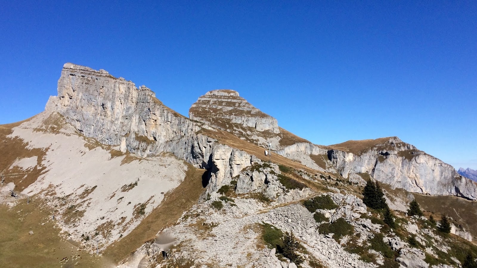
Initial clarification: Tour d'Aï is the name of the summit, but it is indeed a round trip, not a mountain tour! We regret the start on a road and the ski slopes. But the view at the top is magnificent.
Note some overhead passages, to be avoided by people prone to vertigo.

Already more than 200,000 users!
Uphill
766m
Highest point
2197m
Downhill
766m
Lowest point
1467m
Route type
There and back
Download the map on your smartphone to save battery and rest assured to always keep access to the route, even without signal.
Includes IGN France and Swisstopo.
I indicate whether dogs are allowed or prohibited on this trail
From May to September
1 rating
Also enjoy:

Already more than 200,000 users!


