Uphill
986m
Length
15km
Duration
7h
Elev gain
986m
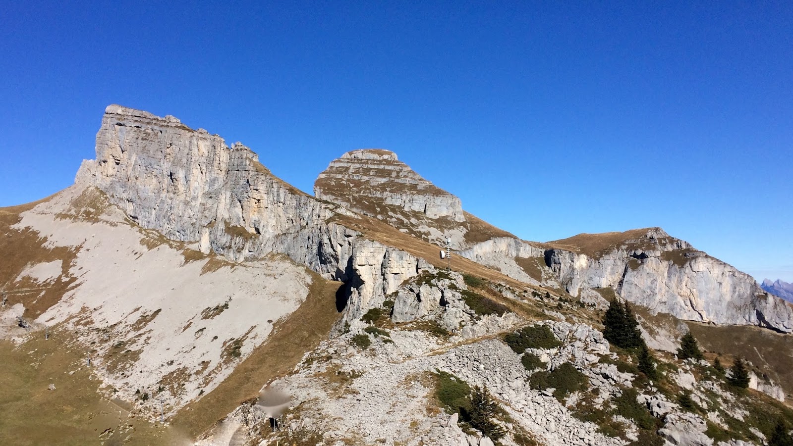
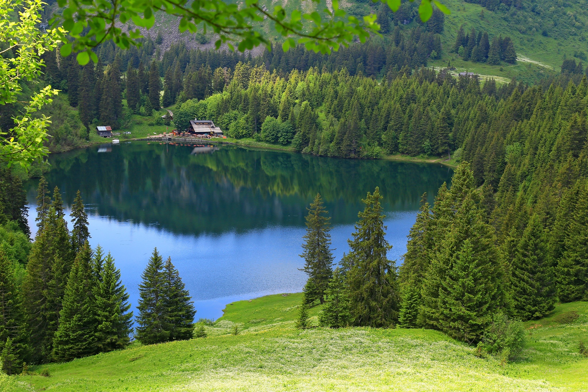
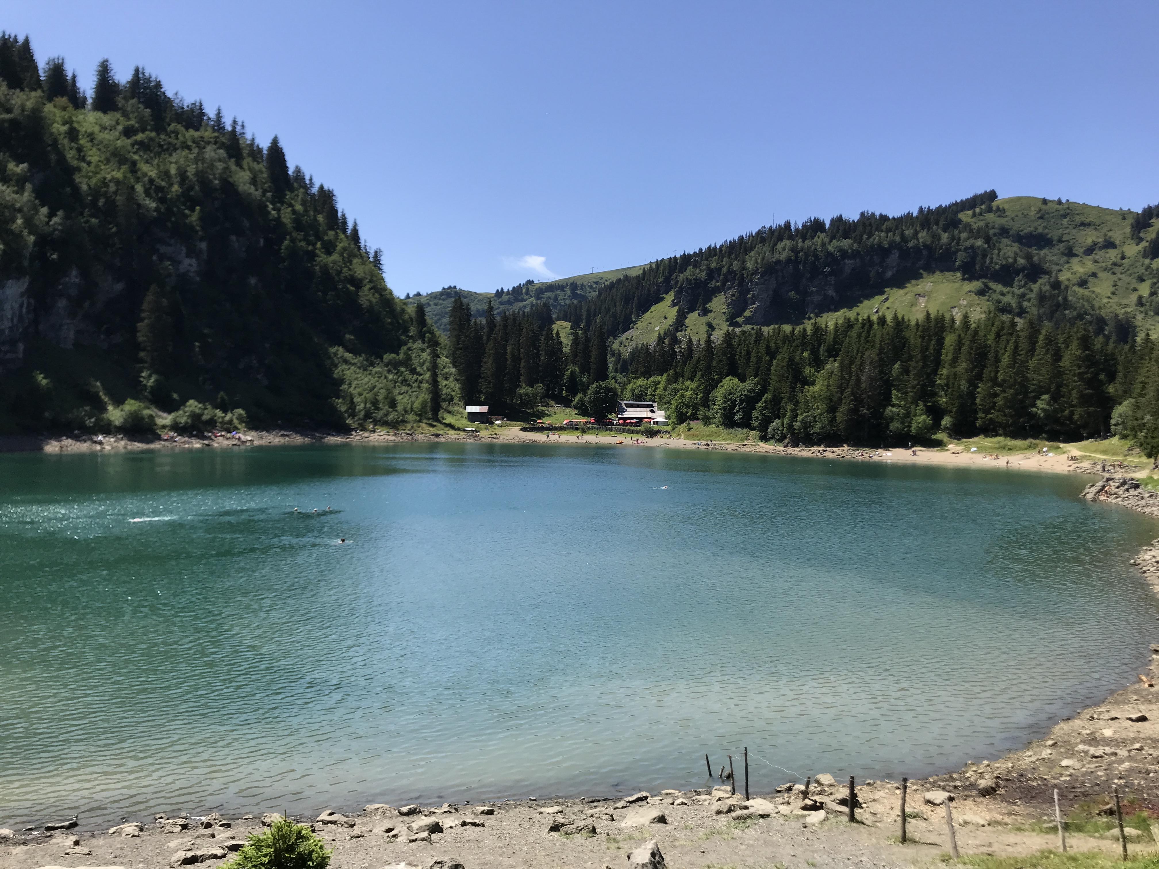
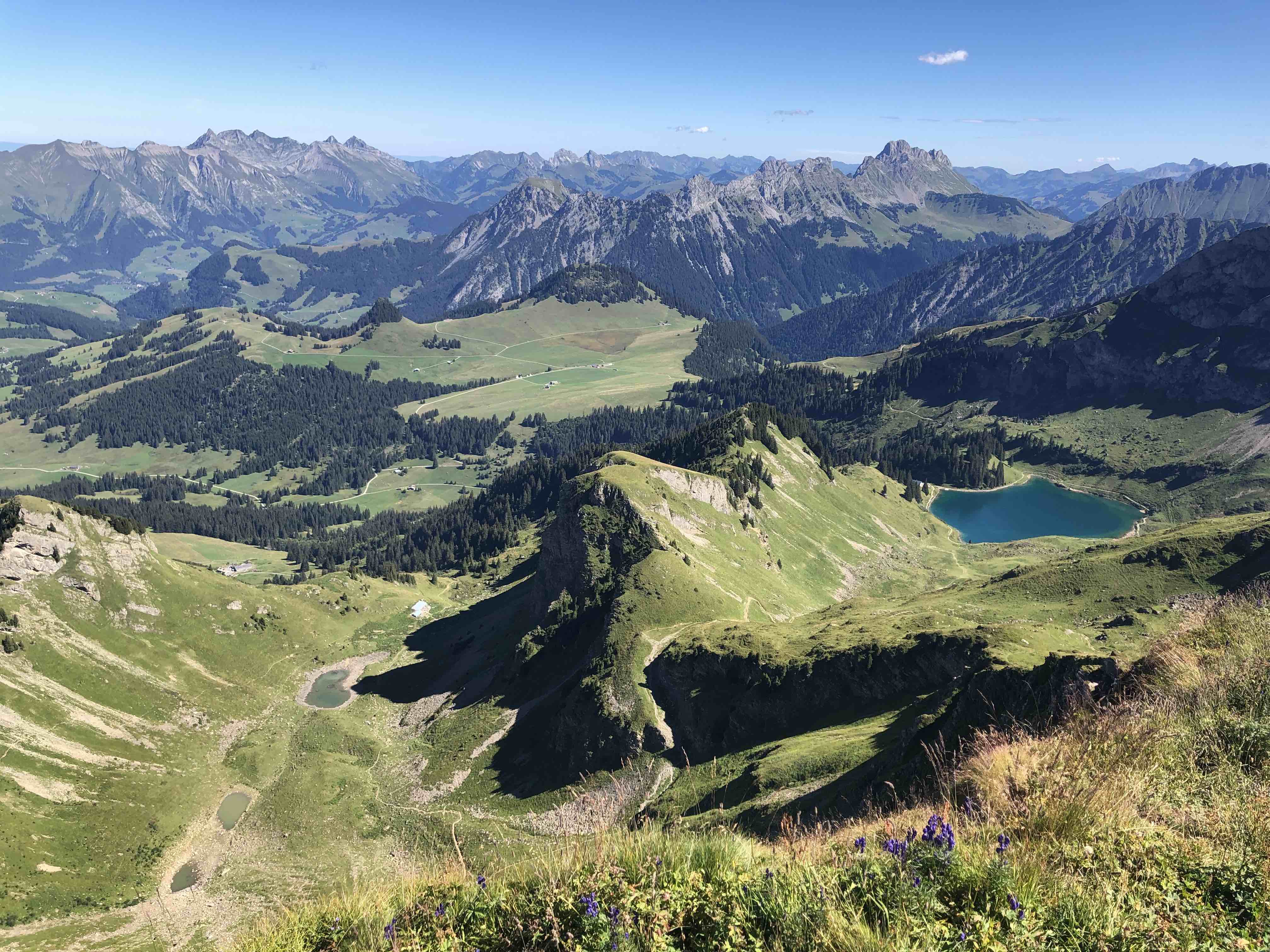
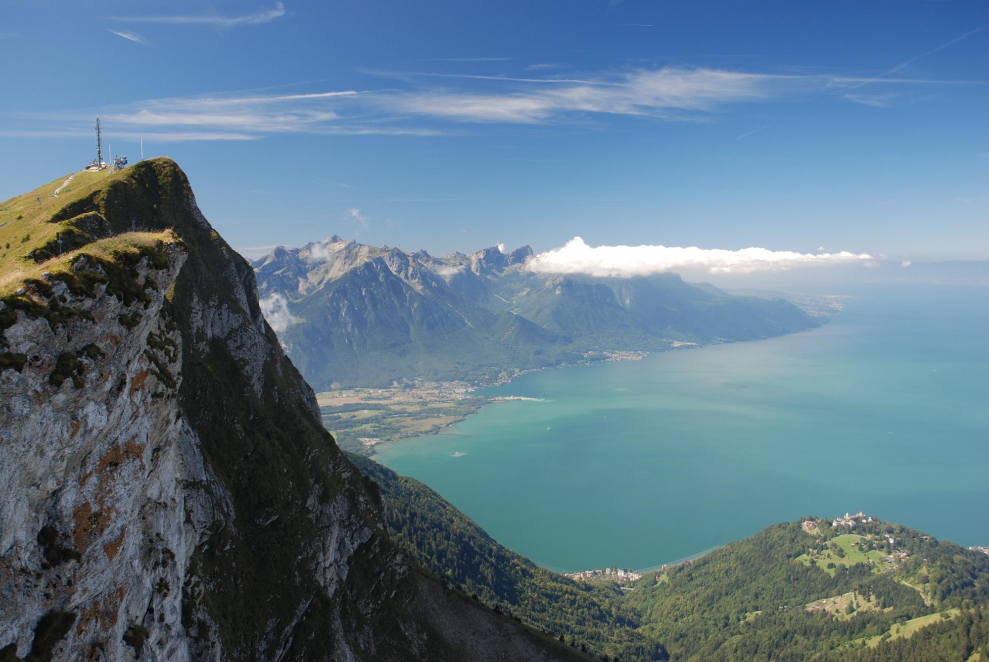
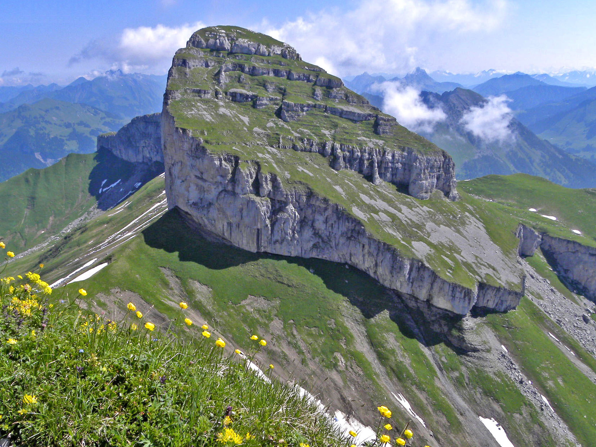
Departing from Leysin, this hike climbs to the Tour de Mayen, a summit culminating at 2,326 meters above sea level. The trail passes through the Mayen refuge, where local specialties are in order. Once at the top, the view of Lake Geneva and the Aiguilles du Midi is extraordinary. The return to the starting point is via the same path.
Please note: this hike is long and strenuous, good physical condition and a little experience are therefore necessary.

Already more than 200,000 users!
Uphill
986m
Highest point
2262m
Downhill
986m
Lowest point
1399m
Route type
There and back
Download the map on your smartphone to save battery and rest assured to always keep access to the route, even without signal.
Includes IGN France and Swisstopo.
I indicate whether dogs are allowed or prohibited on this trail
From May to September
0 ratings
Also enjoy:

Already more than 200,000 users!