Uphill
418m
Length
11km
Duration
4h
Elev gain
418m
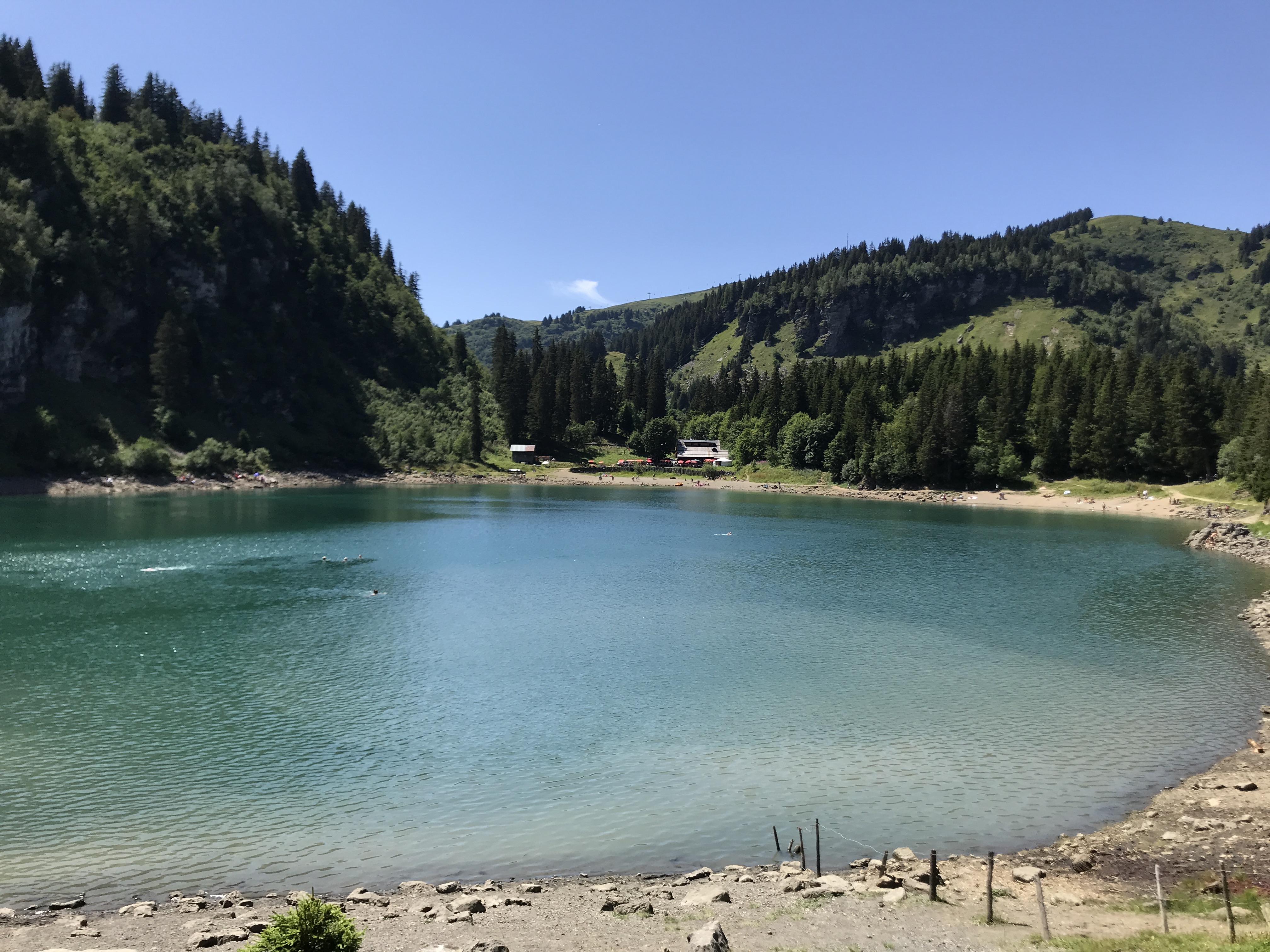
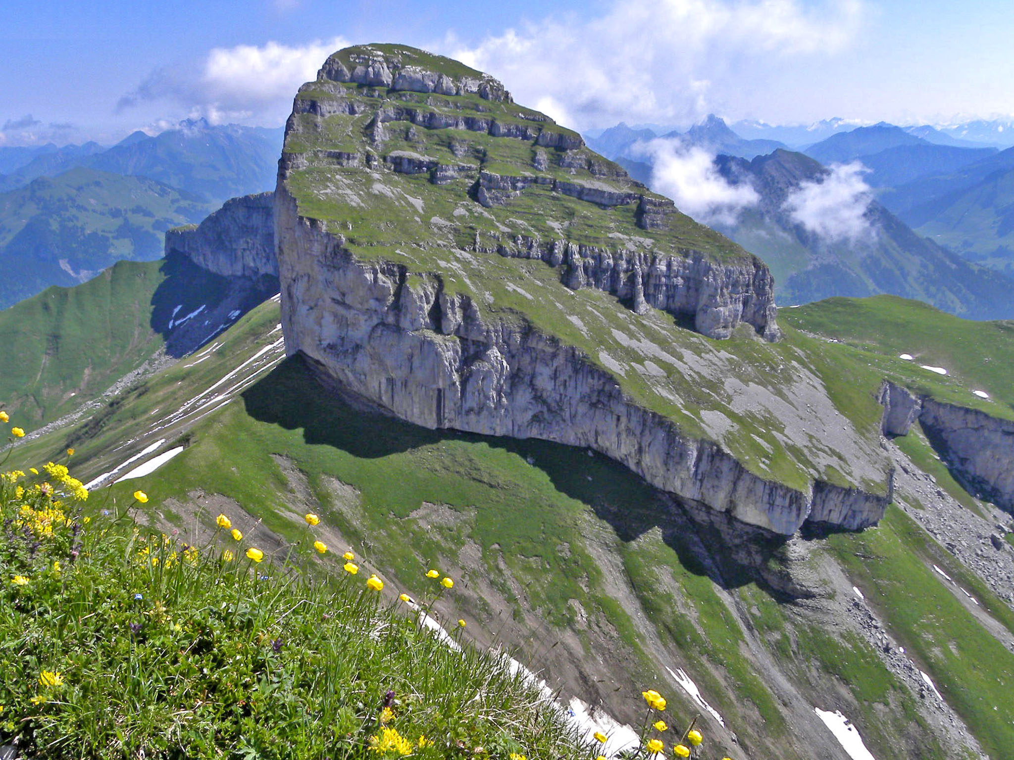
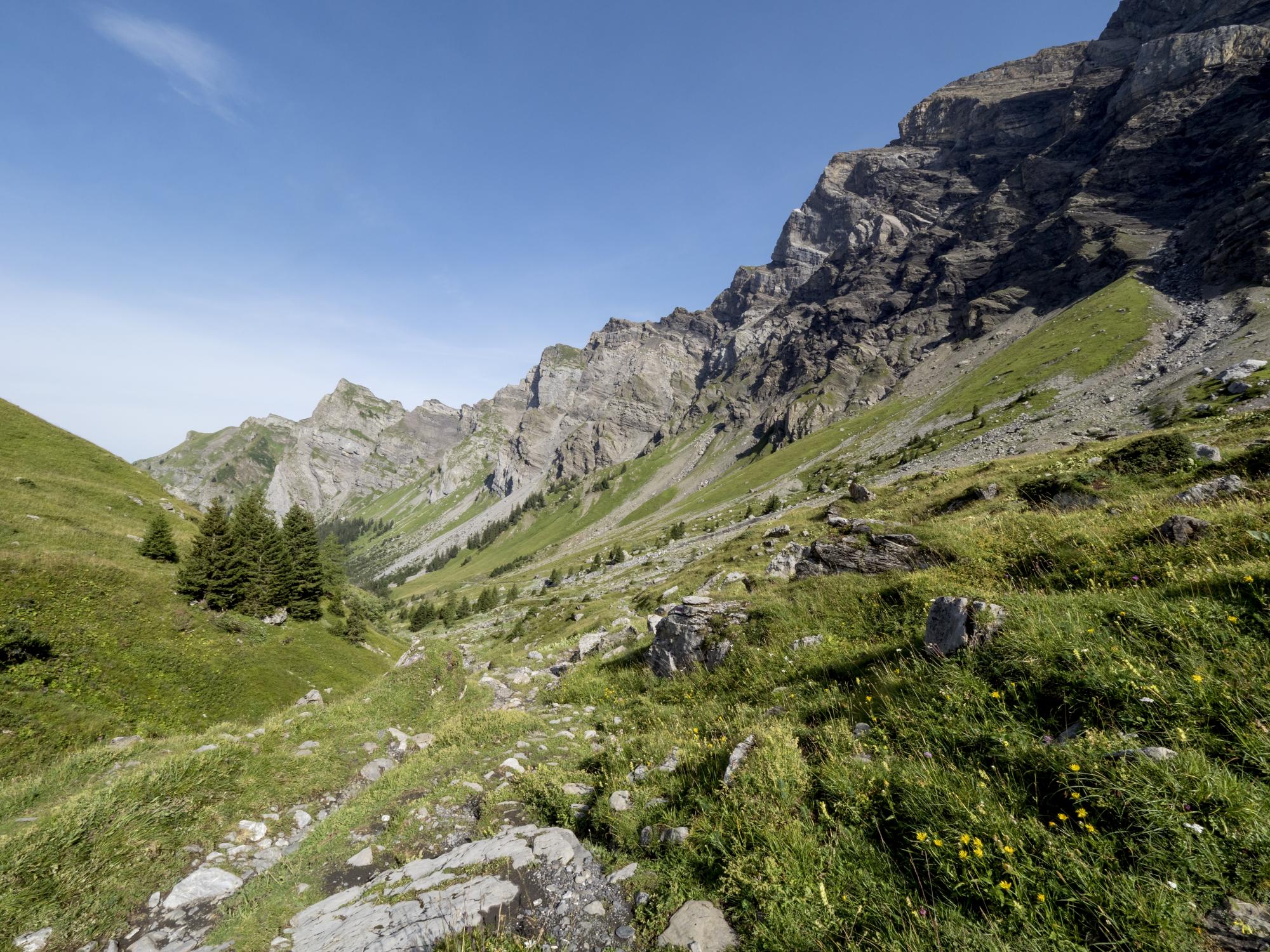
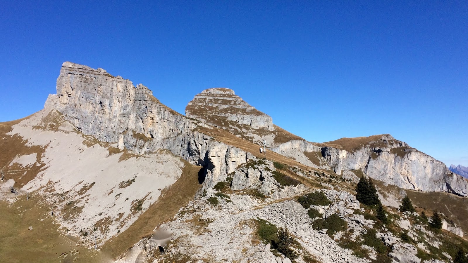
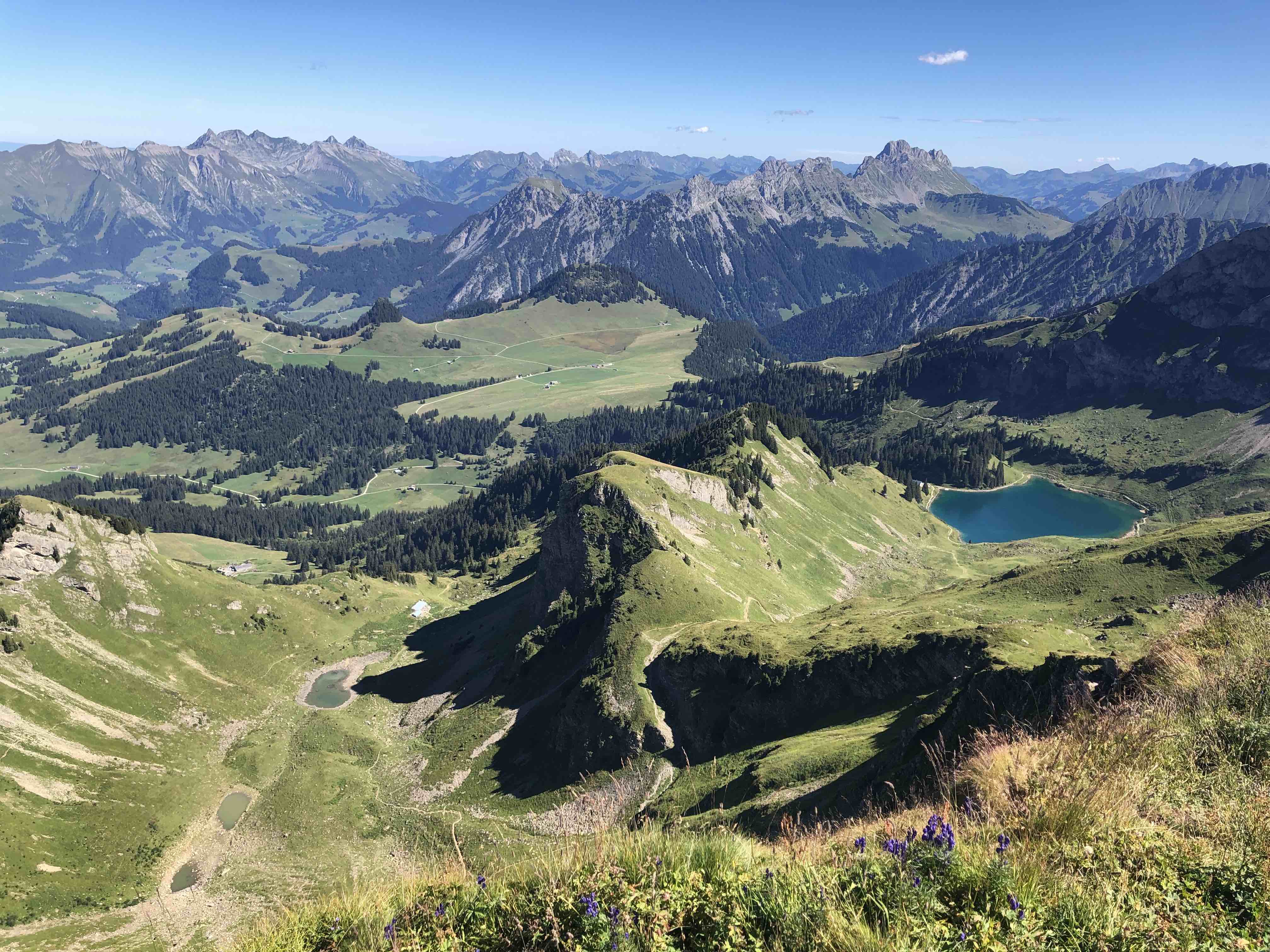
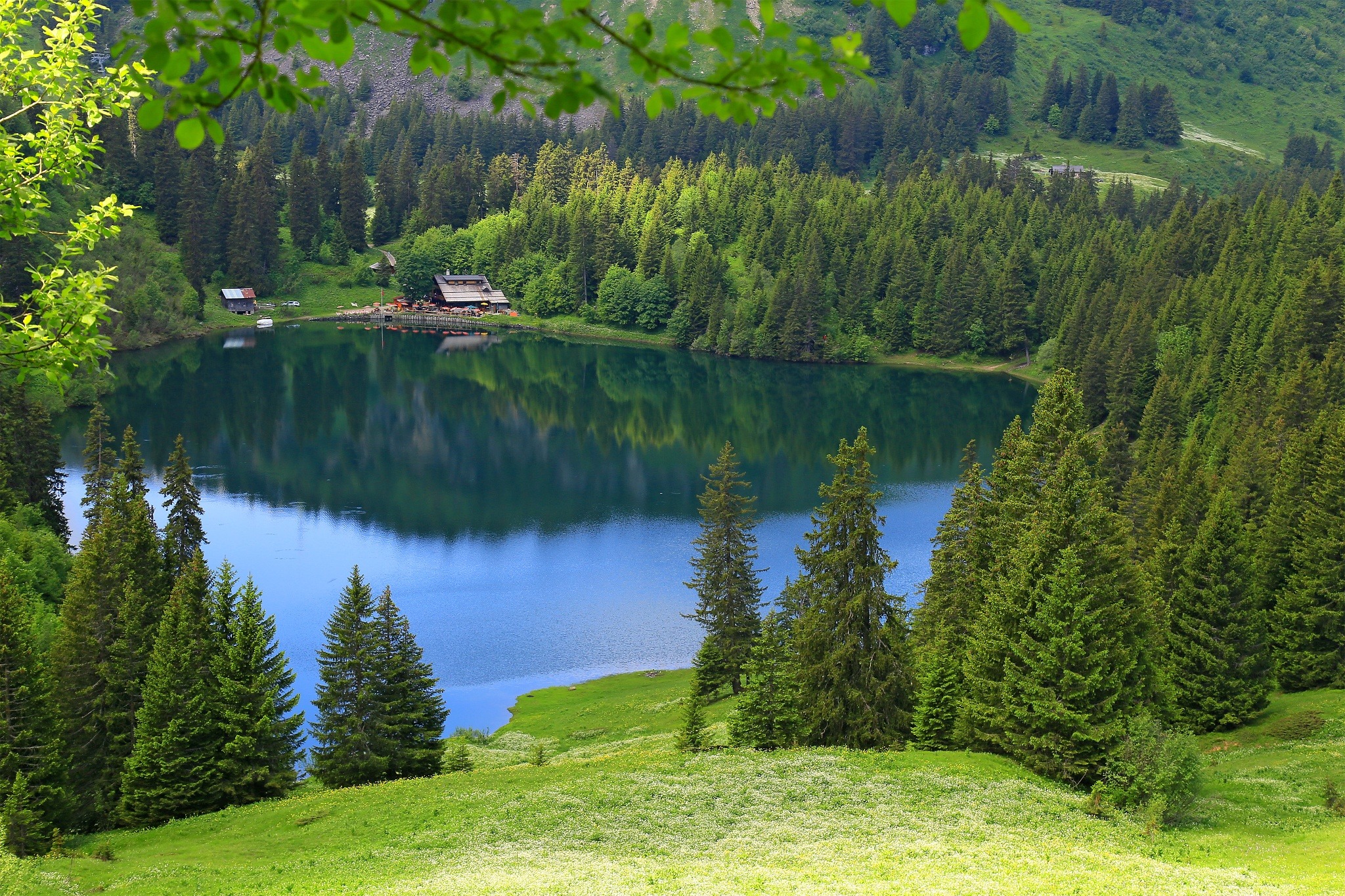
Here is a superb hike that begins at the Col de Bretaye. The route makes a loop on the heights of Villars-sur-Ollon, passes by the lake of Chavonnes then that of Bretaye, before reaching the starting point. It is possible to eat in two places, at the Lac des Chavonnes but also at the starting point.

Already more than 200,000 users!
Uphill
418m
Highest point
1939m
Downhill
418m
Lowest point
1690m
Route type
Loop
Download the map on your smartphone to save battery and rest assured to always keep access to the route, even without signal.
Includes IGN France and Swisstopo.
I indicate whether dogs are allowed or prohibited on this trail
From May to October
1 rating
Also enjoy:

Already more than 200,000 users!