Uphill
904m
Length
10km
Duration
6h
Elev gain
904m
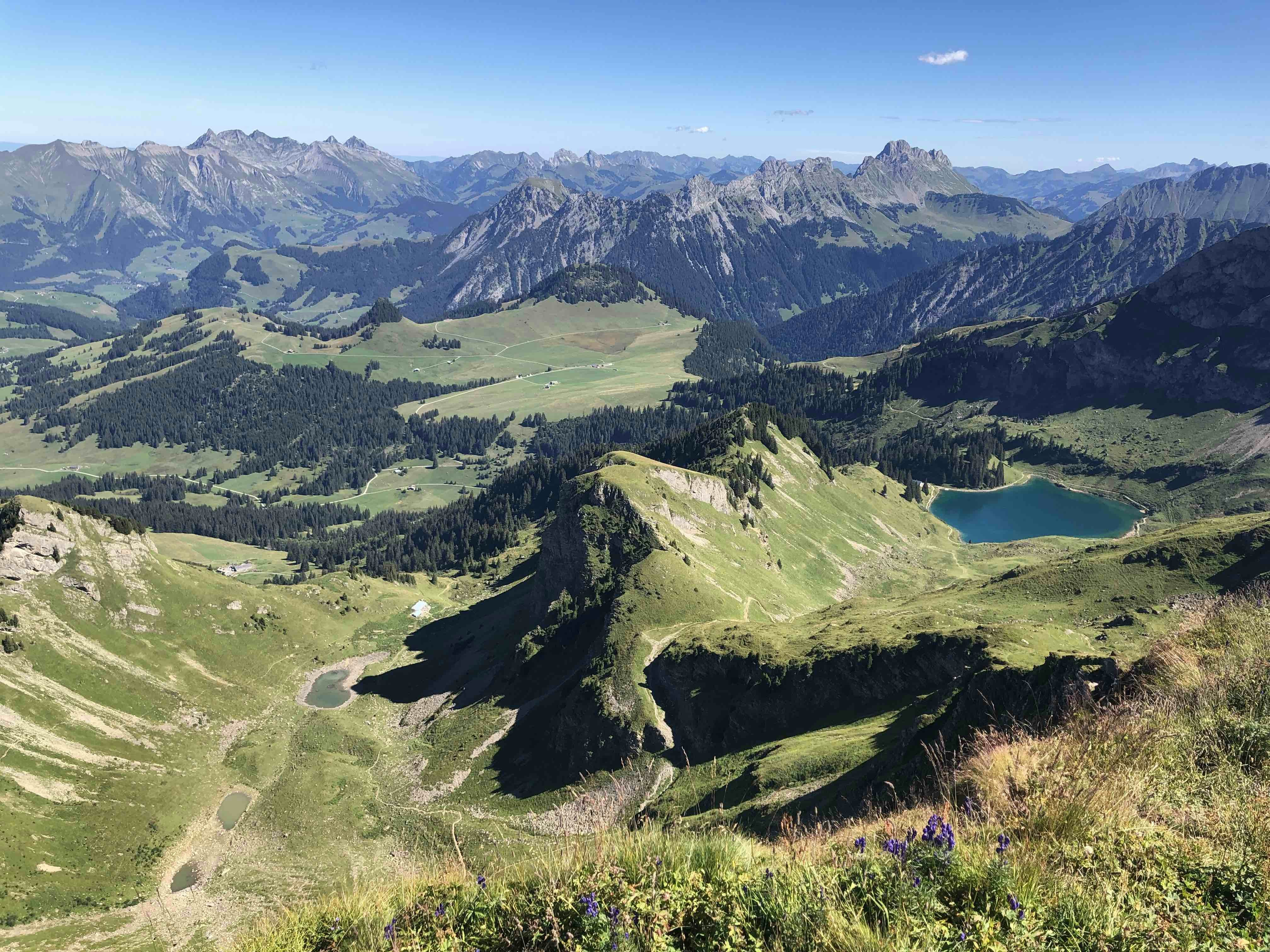
Departing from Les Mosses, this route climbs hard to Pic Chaussy, from where the view of the surroundings, including Lake Lioson, is splendid. You then have to go back down to the starting point via Lake Lioson.
Note that it is possible to eat a first time at the small lakes, and a second time at Lake Lioson.

Already more than 200,000 users!
Uphill
904m
Highest point
2329m
Downhill
904m
Lowest point
1424m
Route type
Loop
Download the map on your smartphone to save battery and rest assured to always keep access to the route, even without signal.
Includes IGN France and Swisstopo.
I indicate whether dogs are allowed or prohibited on this trail
From May to September
4 ratings
Also enjoy:

Already more than 200,000 users!


