Uphill
524m
Length
12km
Duration
4h30min
Elev gain
524m
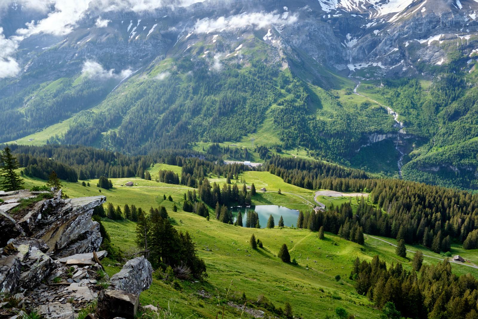
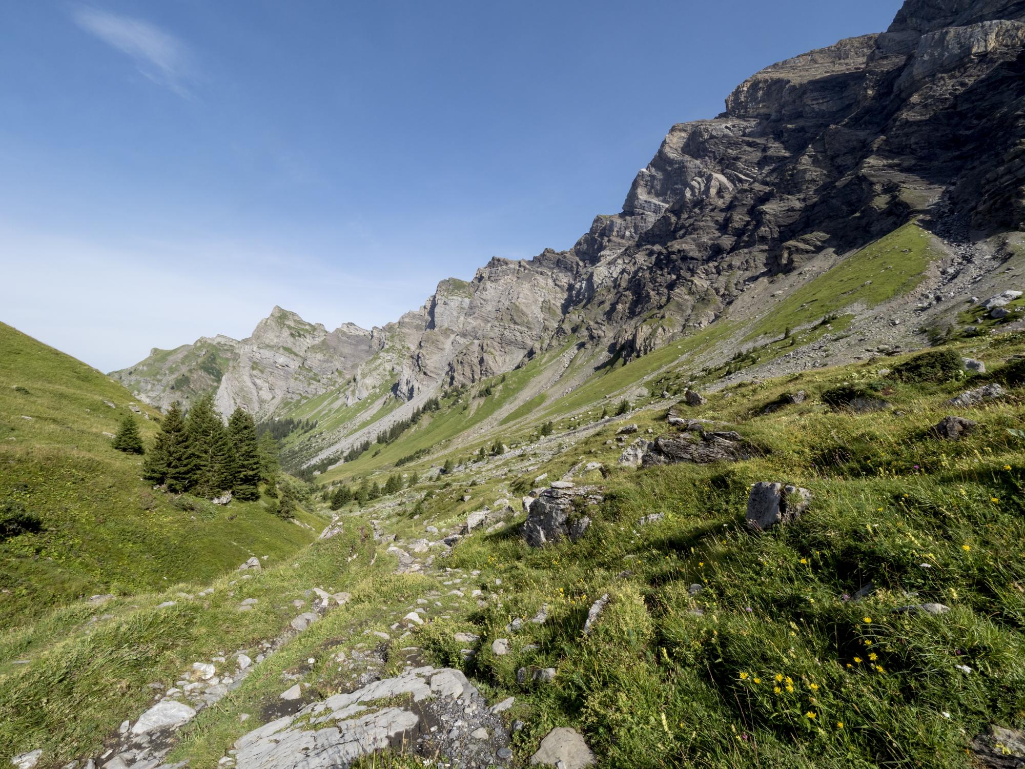
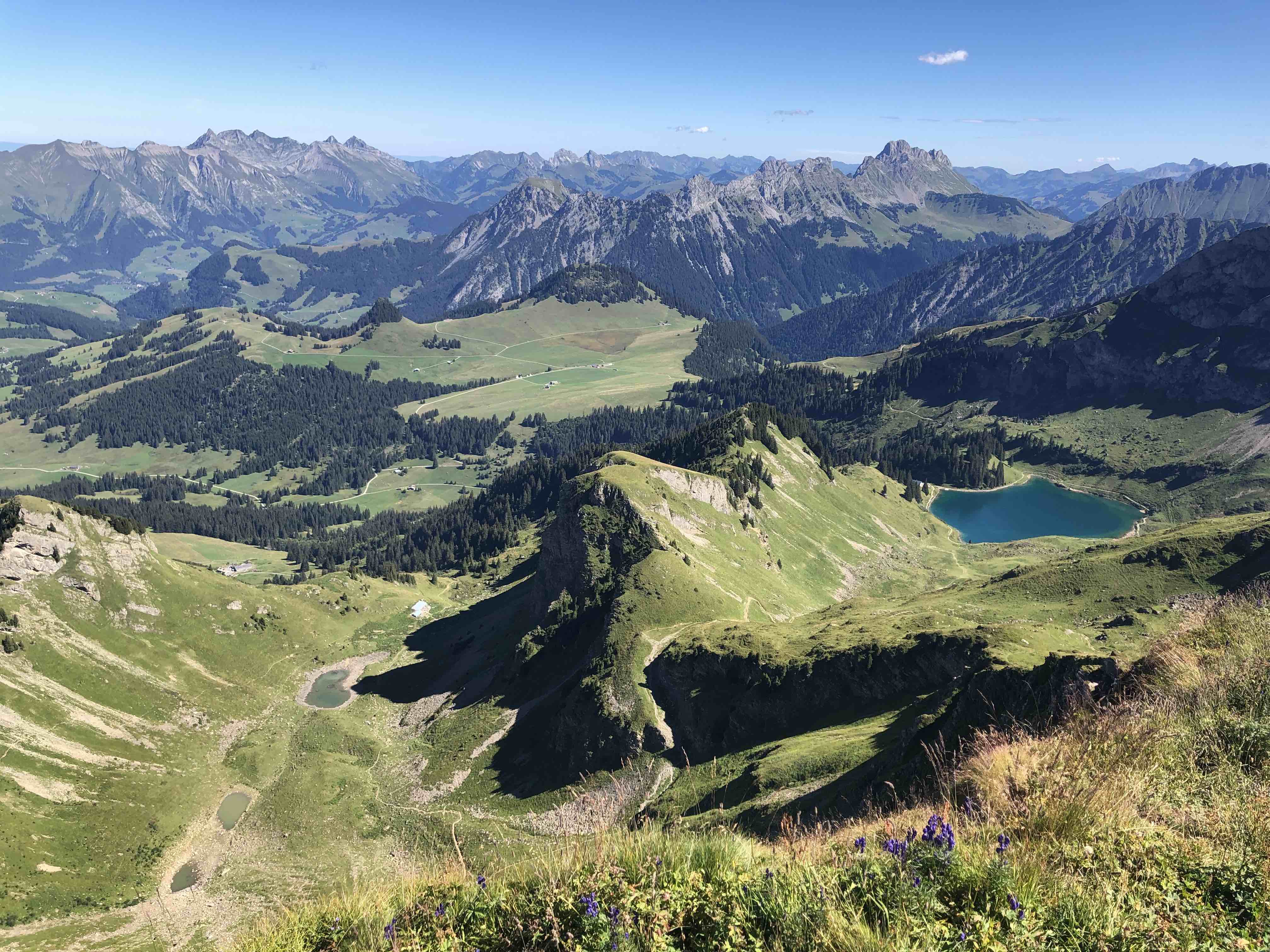
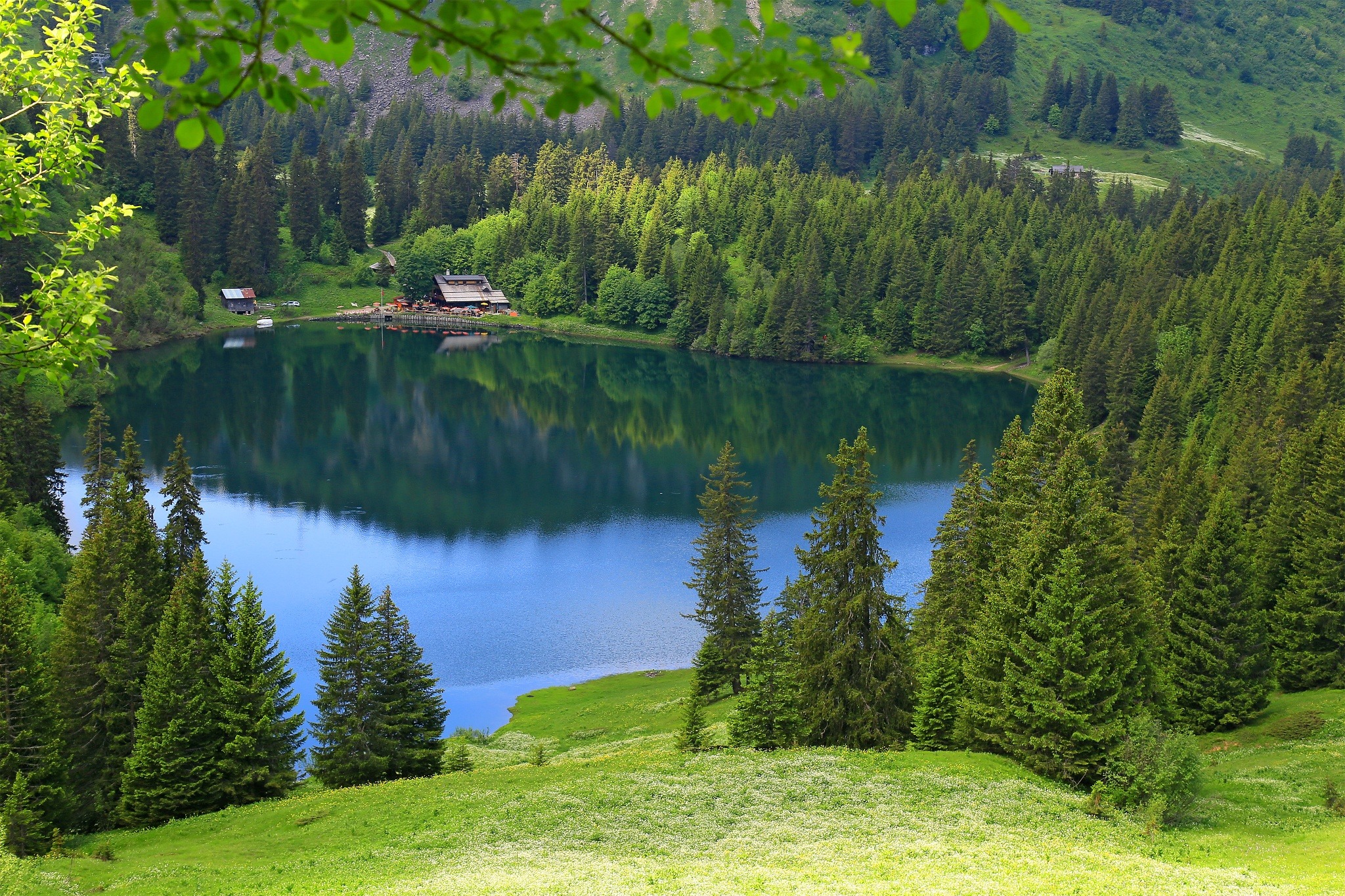
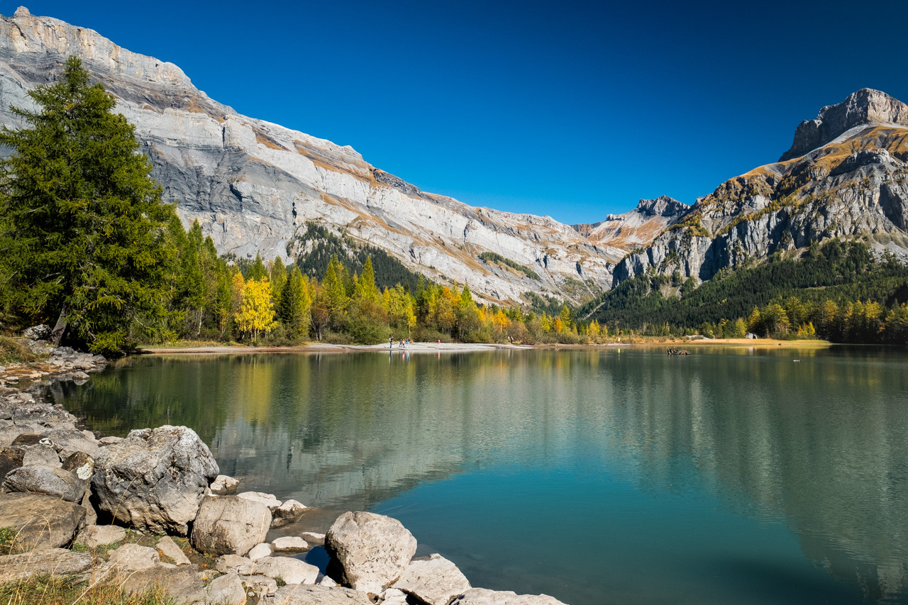
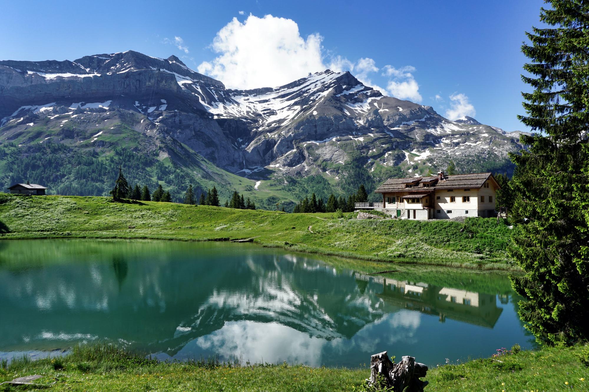
Departing from Les Diablerets, this route follows the Dar to its waterfall, before heading towards the Col du Pillon and Lac Retaud. Here, we take advantage of the moment and we can even eat if necessary. To return, the route takes exactly the same path.

Already more than 200,000 users!
Uphill
524m
Highest point
1685m
Downhill
524m
Lowest point
1156m
Route type
There and back
Download the map on your smartphone to save battery and rest assured to always keep access to the route, even without signal.
Includes IGN France and Swisstopo.
I indicate whether dogs are allowed or prohibited on this trail
From May to October
1 rating
Also enjoy:

Already more than 200,000 users!