Uphill
262m
Length
7km
Duration
2h30min
Elev gain
262m
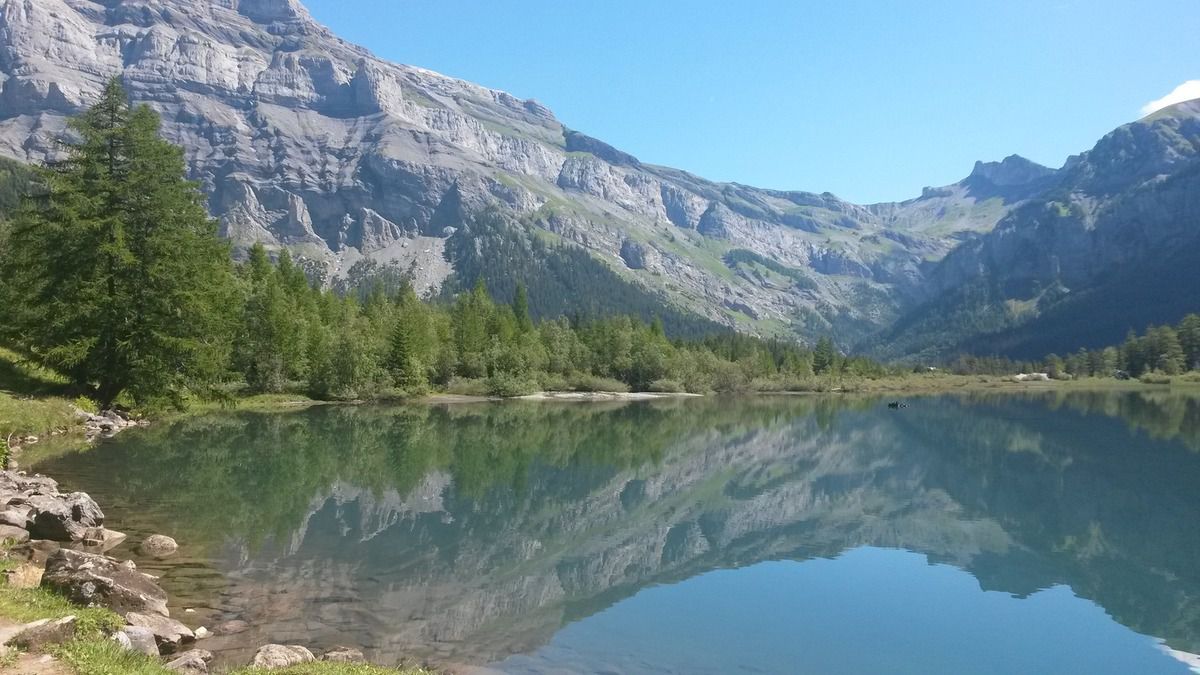
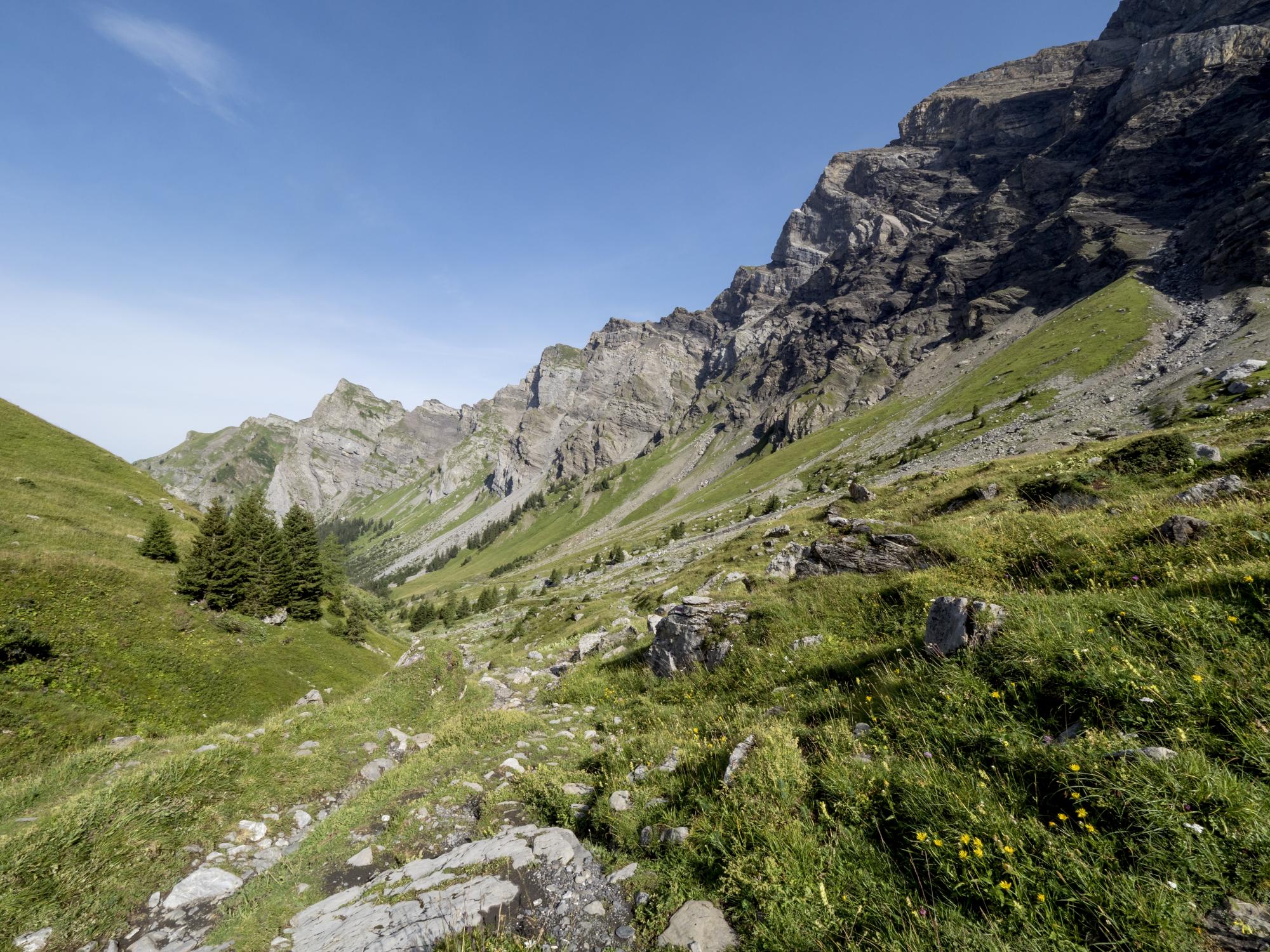
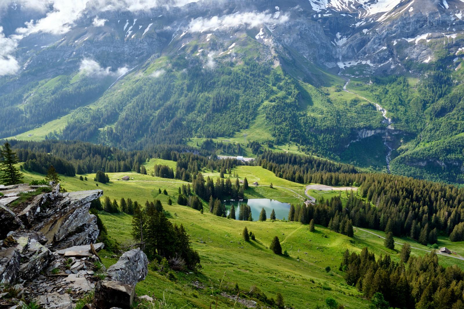
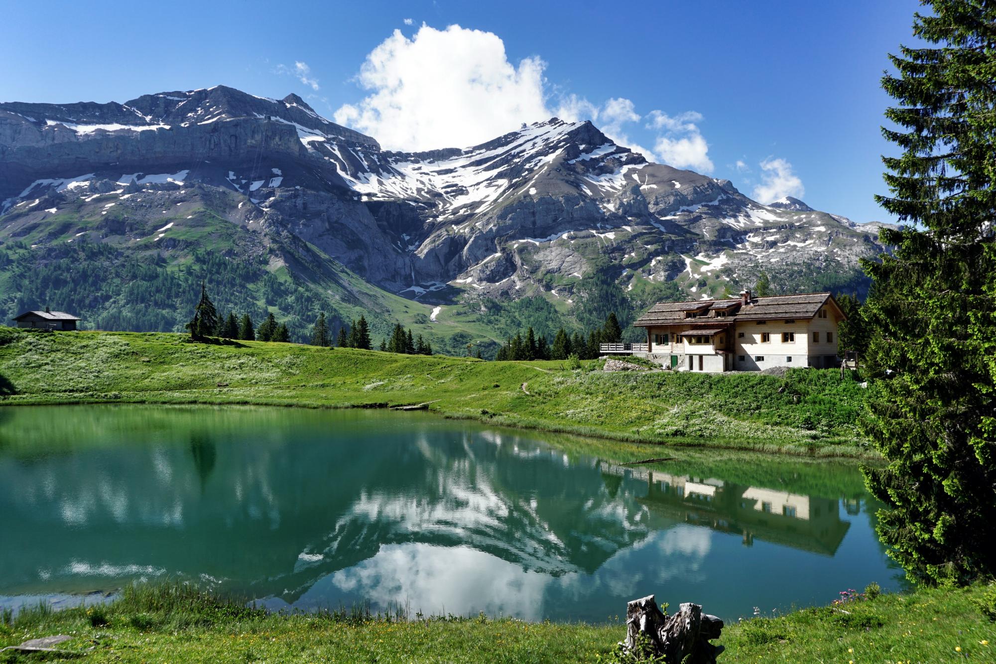
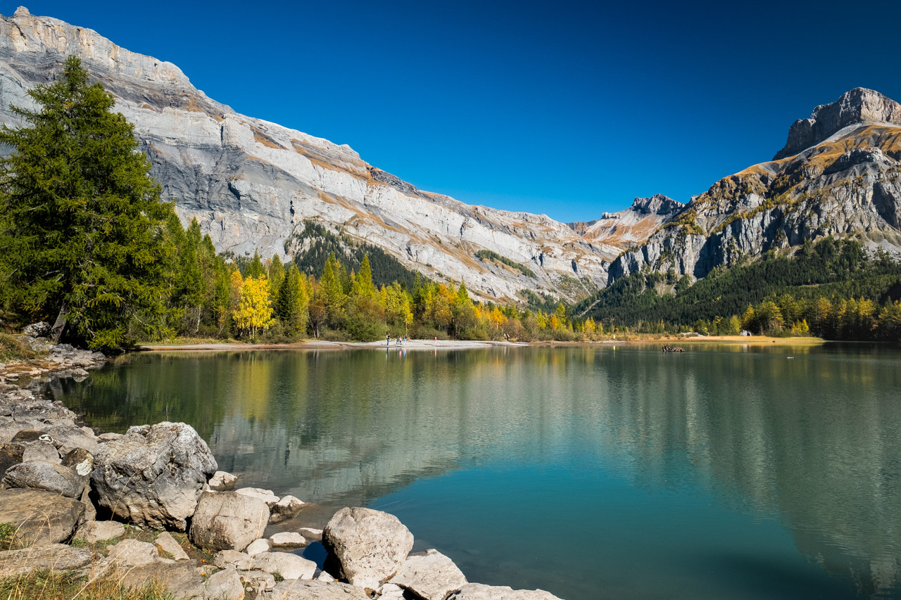
Departing from Lake Derborence, this route follows in the footsteps of Antoine, a shepherd survivor of a landslide that took place in 1714. The route makes a nice loop between small rivers and the beautiful lake of Derborence, in very beautiful landscapes. but still marked today by this natural disaster.

Already more than 200,000 users!
Uphill
262m
Highest point
1529m
Downhill
262m
Lowest point
1337m
Route type
Loop
Download the map on your smartphone to save battery and rest assured to always keep access to the route, even without signal.
Includes IGN France and Swisstopo.
I indicate whether dogs are allowed or prohibited on this trail
Can be difficult in Winter
1 rating
Also enjoy:

Already more than 200,000 users!