Uphill
363m
Length
9km
Duration
3h
Elev gain
363m
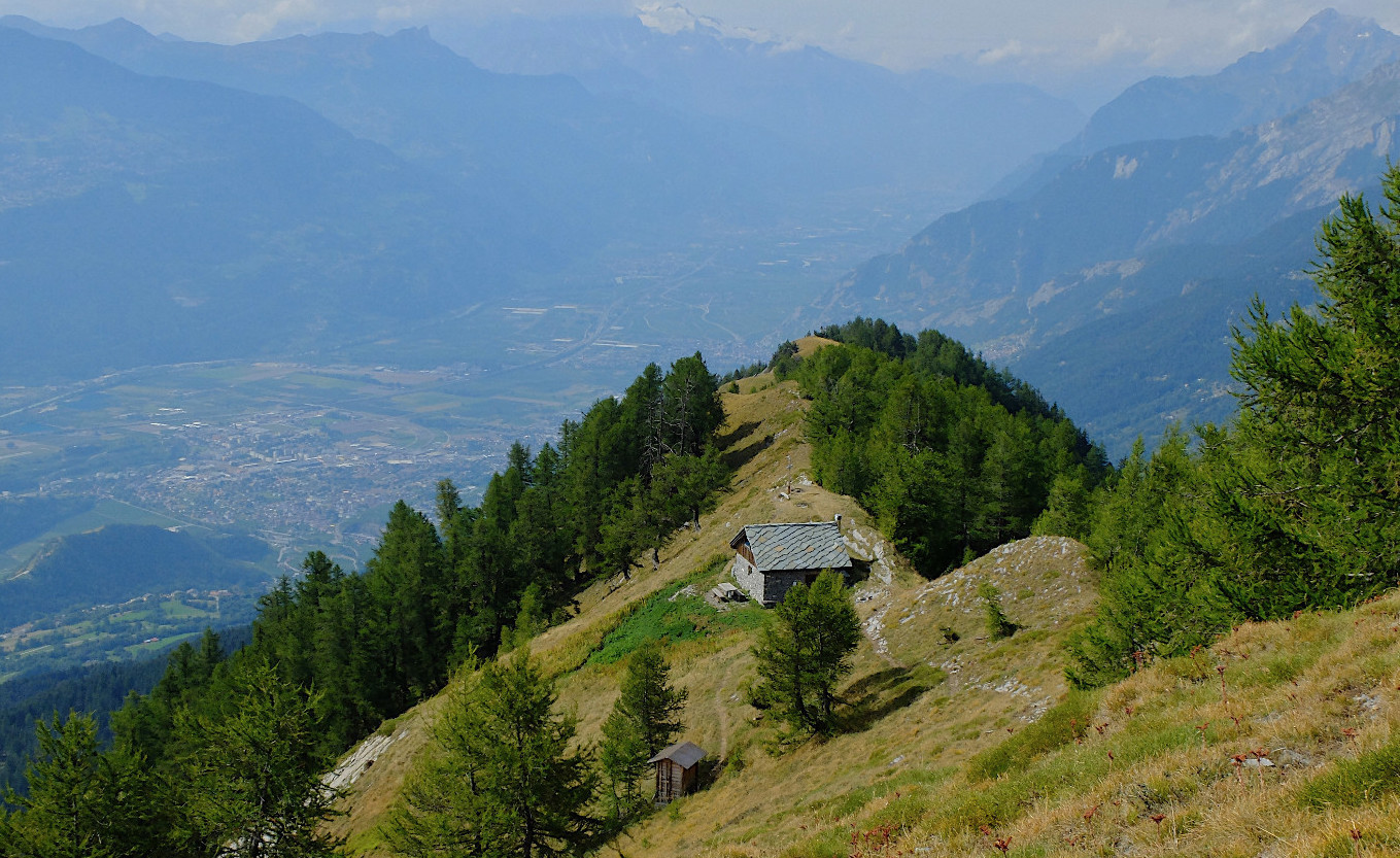
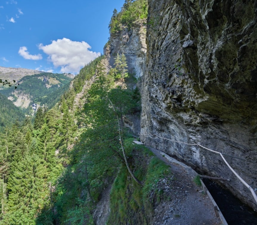
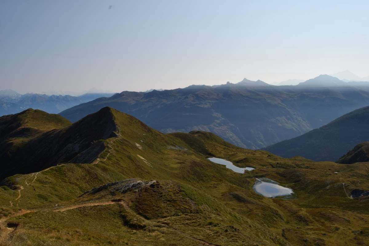
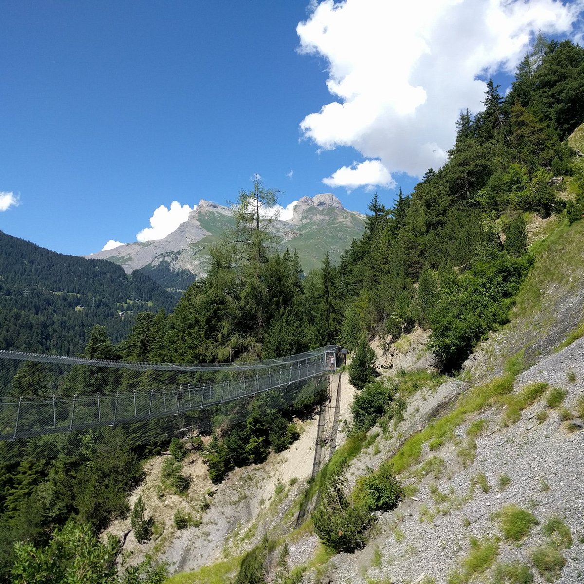
Here is a hike taking place in the heart of a magnificent bisse located in the town of Savièse. Built at the beginning of the 15th century, this bisse presents a spectacular course along vertiginous walls, which also offer superb views of the surroundings. Between forest, rocks and footbridges, this route does not present any particular difficulty but remains dizzying - to be avoided by people prone to vertigo.

Already more than 200,000 users!
Uphill
363m
Highest point
1284m
Downhill
363m
Lowest point
1126m
Route type
There and back
Download the map on your smartphone to save battery and rest assured to always keep access to the route, even without signal.
Includes IGN France and Swisstopo.
I indicate whether dogs are allowed or prohibited on this trail
Can be difficult in Winter
3 ratings
Also enjoy:

Already more than 200,000 users!