Uphill
702m
Length
8km
Duration
5h
Elev gain
702m
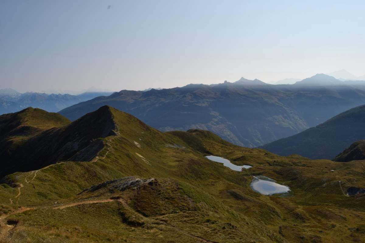
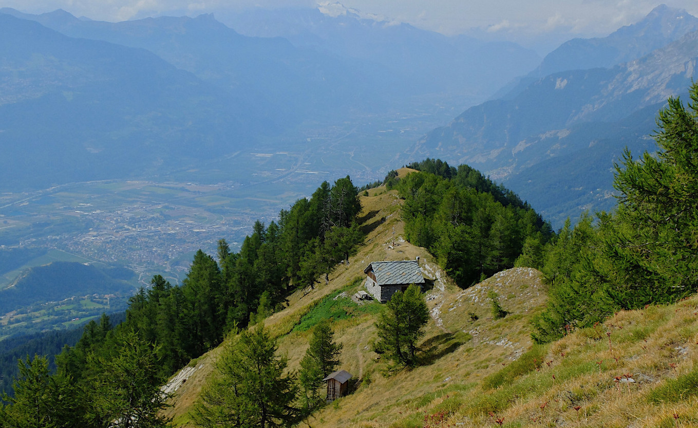
Located on the heights of Savièse, this beautiful hike climbs quickly. The route climbs to the summit of Prabé, known for its hut and its cross, located at 2,042 meters above sea level. The view is open on the Rhone valley as well as on the surrounding mountains.

Already more than 200,000 users!
Uphill
702m
Highest point
2067m
Downhill
702m
Lowest point
1382m
Route type
There and back
Download the map on your smartphone to save battery and rest assured to always keep access to the route, even without signal.
Includes IGN France and Swisstopo.
I indicate whether dogs are allowed or prohibited on this trail
From May to September
1 rating
Also enjoy:

Already more than 200,000 users!