Uphill
293m
Length
14km
Duration
4h
Elev gain
293m
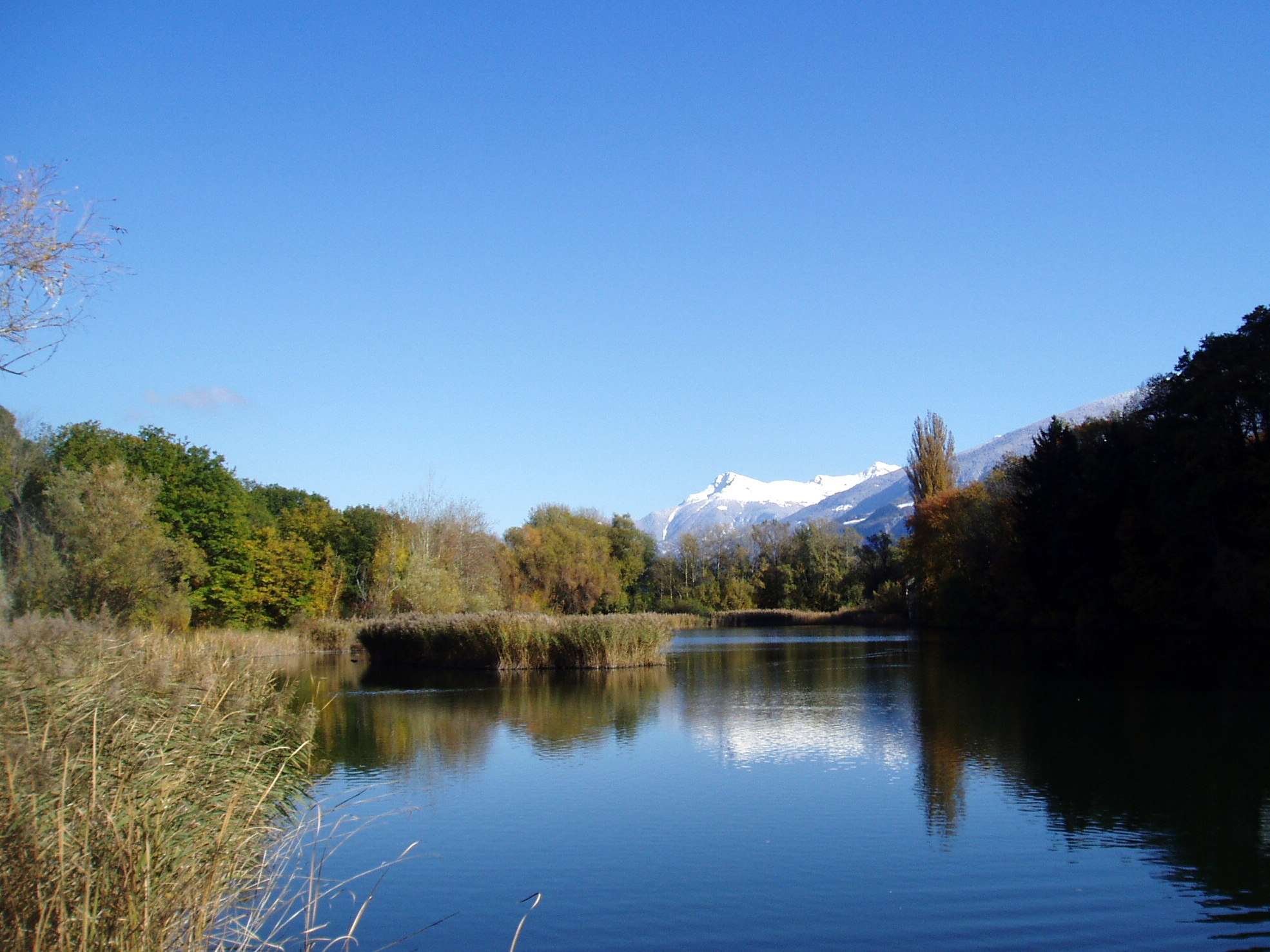
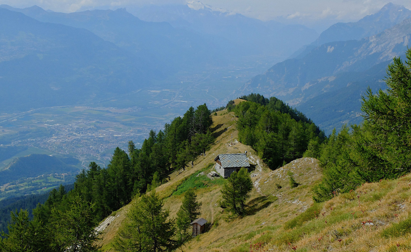
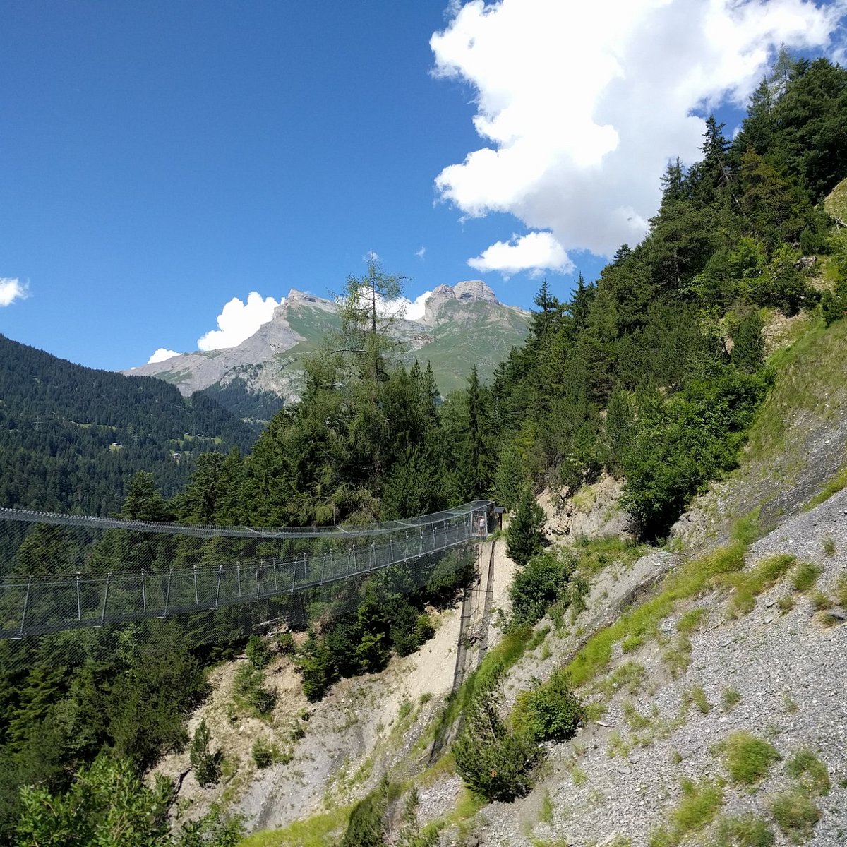
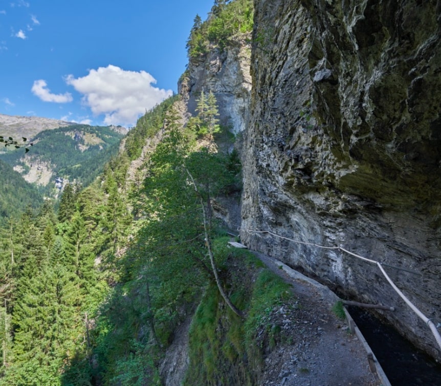
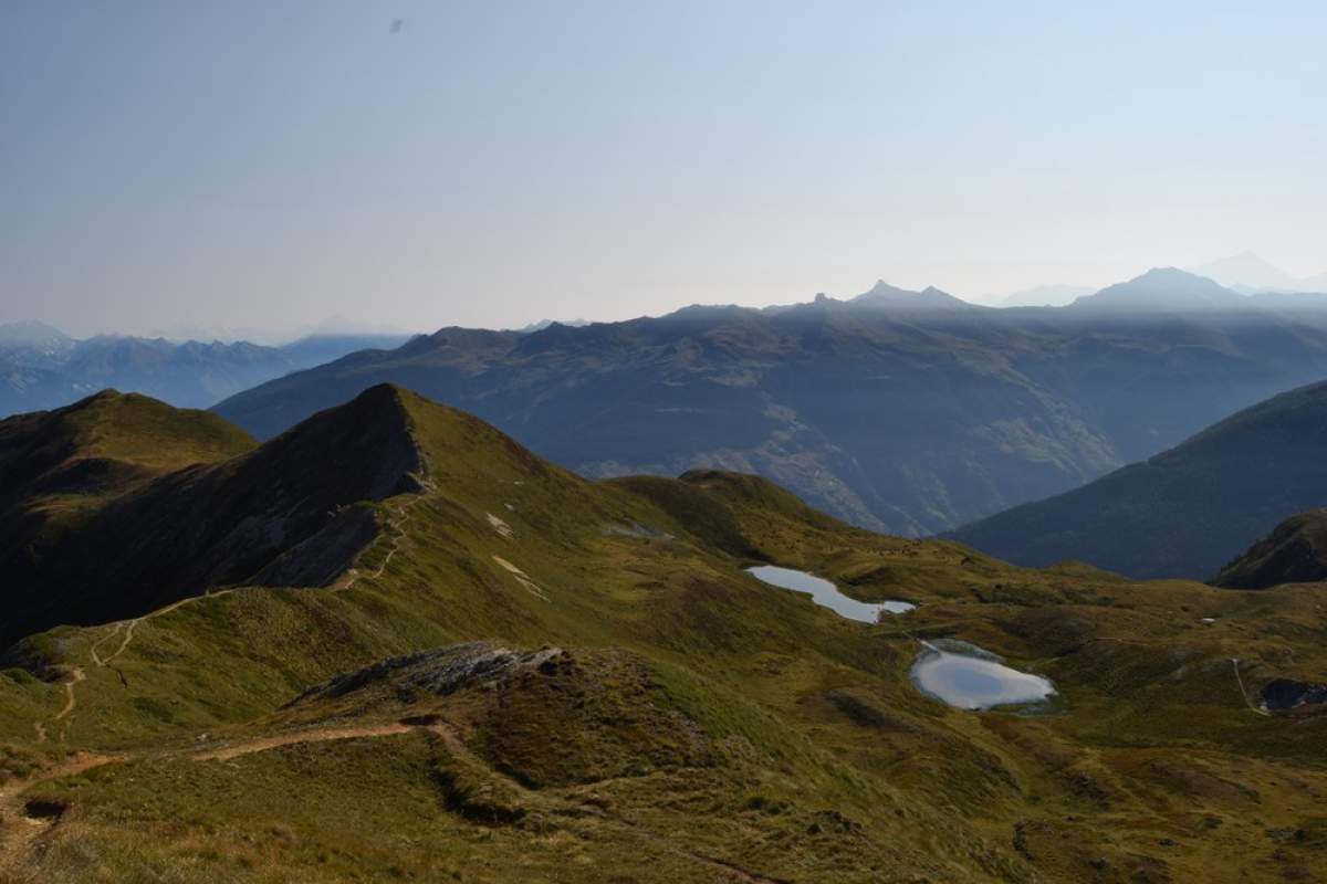
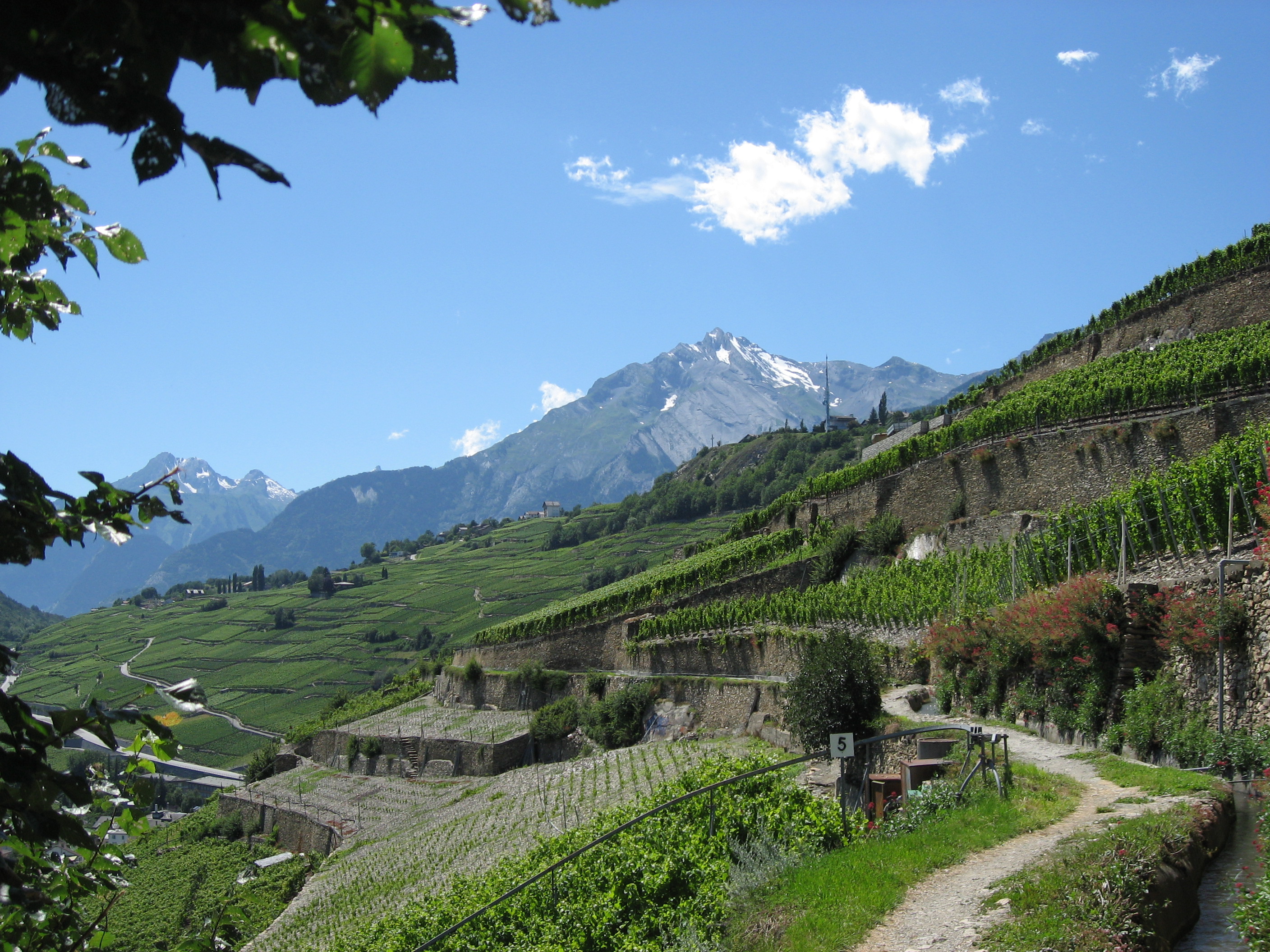
Leaving from Sion, this trail passes through the Lienne gorges, offering a superb view overlooking the river and the surrounding vineyards. This route is also punctuated by two snack bars for good food.

Already more than 200,000 users!
Uphill
293m
Highest point
696m
Downhill
293m
Lowest point
636m
Route type
There and back
Download the map on your smartphone to save battery and rest assured to always keep access to the route, even without signal.
Includes IGN France and Swisstopo.
I indicate whether dogs are allowed or prohibited on this trail
All year
0 ratings
Also enjoy:

Already more than 200,000 users!