Uphill
608m
Length
12km
Duration
4h30min
Elev gain
608m
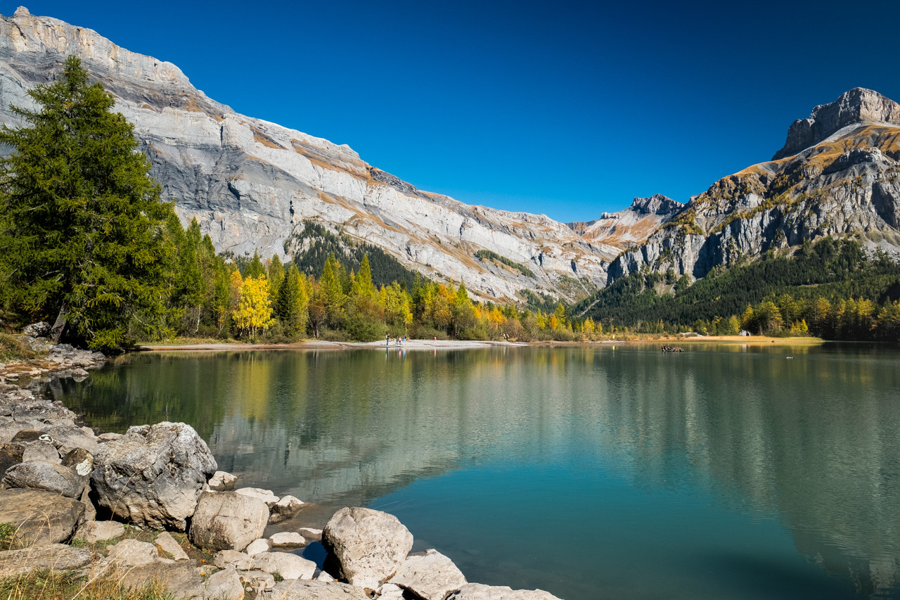
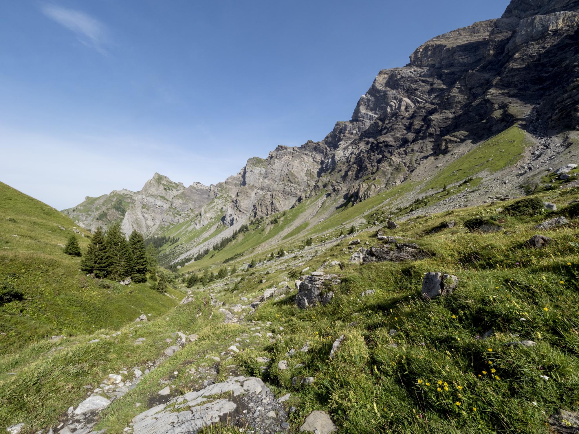
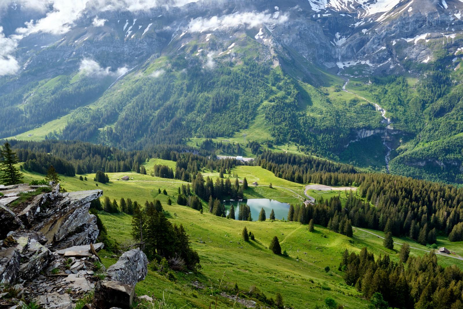
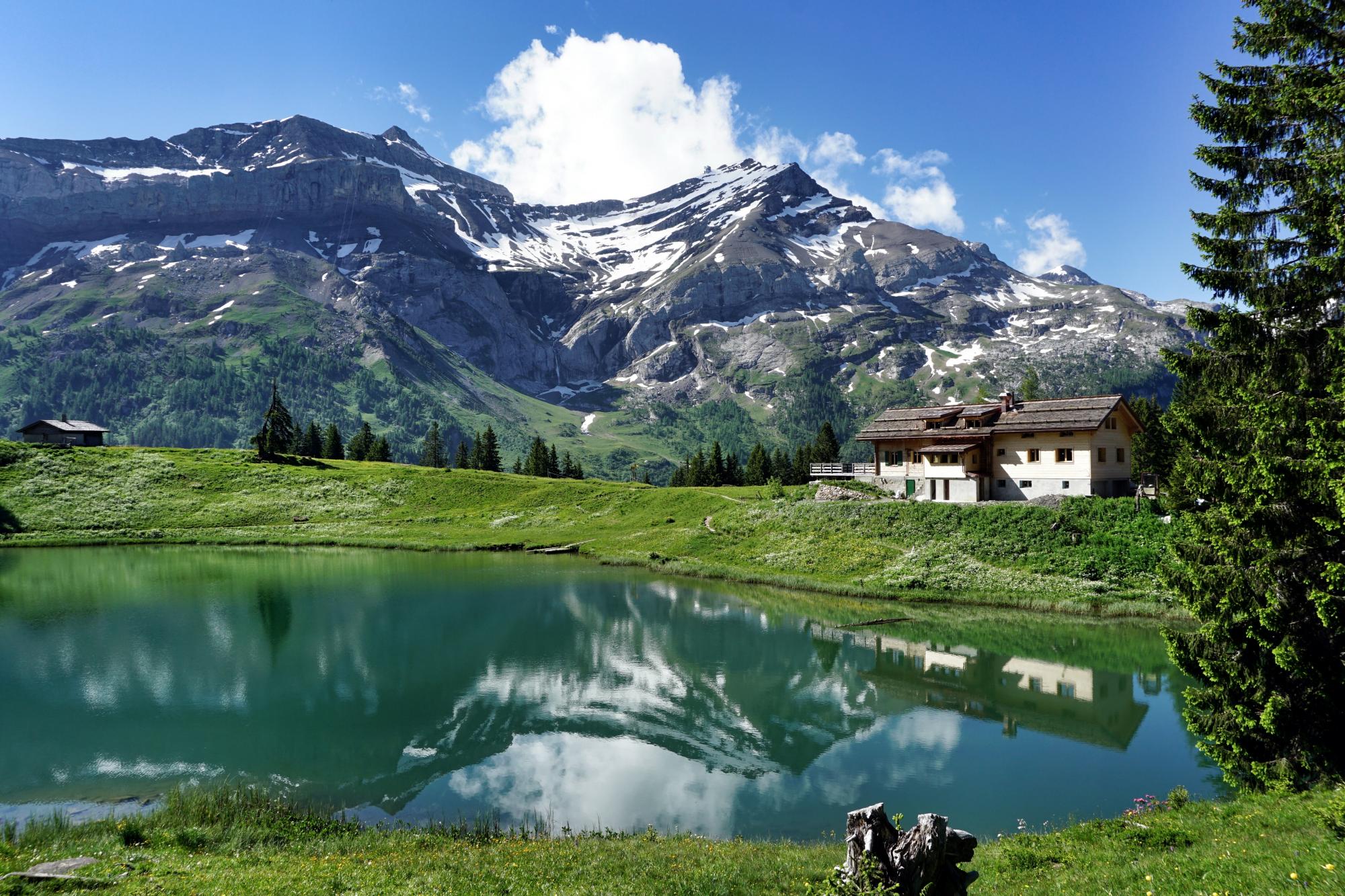
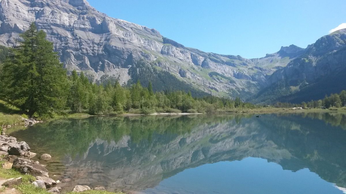
Pretty hike in the heart of the Derborence valley. The route makes a loop in superb landscapes, passing very close to Godet and its basin, then Besson and Motélon, until returning via the lake of Derborence. This lake is located at 1,449 meters above sea level, and is known for its landslide and its spectacular view of the valley.

Already more than 200,000 users!
Uphill
608m
Highest point
1632m
Downhill
608m
Lowest point
1212m
Route type
Loop
Download the map on your smartphone to save battery and rest assured to always keep access to the route, even without signal.
Includes IGN France and Swisstopo.
I indicate whether dogs are allowed or prohibited on this trail
From May to October
0 ratings
Also enjoy:

Already more than 200,000 users!