Uphill
1283m

Length
17km
Duration
9h
Elev gain
1283m
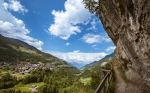
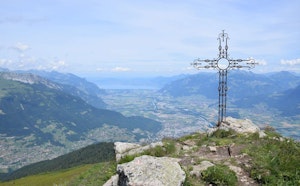
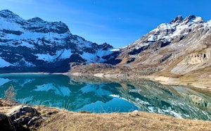
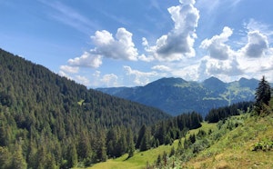
In the heart of the Val-d'Illiez, this trail climbs to the summit of the Signal de Soi, at 2,054 meters above sea level, then continues to the lake bearing the same name. At the top, we take advantage of the splendid view before heading back to the starting point.

Already more than 200,000 users!
Uphill
1283m
Highest point
2249m
Downhill
1283m
Lowest point
1167m
Route type
Loop
Download the map on your smartphone to save battery and rest assured to always keep access to the route, even without signal.
Includes IGN France and Swisstopo.
I indicate whether dogs are allowed or prohibited on this trail
From May to September
0 ratings
Also enjoy:

Already more than 200,000 users!