Uphill
289m
Length
5km
Duration
2h
Elev gain
289m
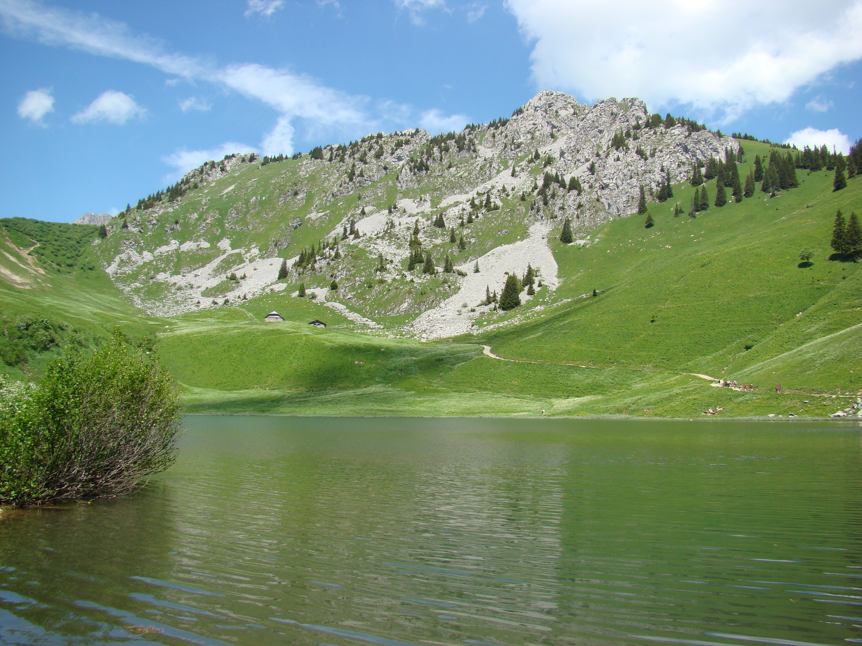
Short and pretty walk from Champoussin to Val-d'Illiez, in the heart of Valais. The route starts from the Poussin restaurant then via the Way of the Crosses, reaches a magnificent viewpoint. Here, we take advantage of the moment and the beauty of the landscapes. You must then continue and return to the starting point via Champoussin.

Already more than 200,000 users!
Uphill
289m
Highest point
1663m
Downhill
289m
Lowest point
1412m
Route type
Loop
Download the map on your smartphone to save battery and rest assured to always keep access to the route, even without signal.
Includes IGN France and Swisstopo.
I indicate whether dogs are allowed or prohibited on this trail
From May to October
0 ratings
Also enjoy:

Already more than 200,000 users!