Uphill
133m
Length
6km
Duration
2h
Elev gain
133m
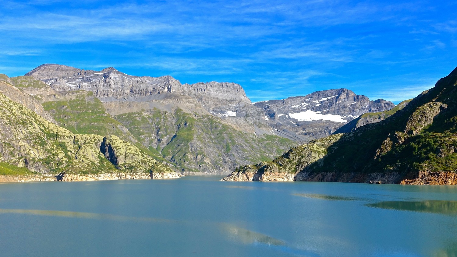
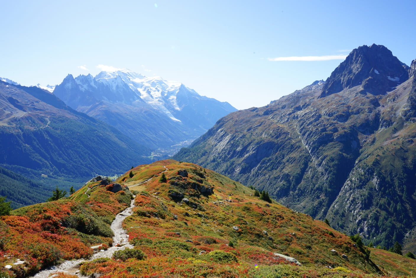
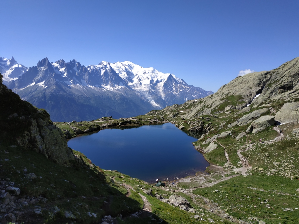
Here is a nice, relatively easy walk that is suitable for all levels. The trail runs along the Bisse du Trient and offers a magnificent view of the Mont-Blanc massif.

Already more than 200,000 users!
Uphill
133m
Highest point
1575m
Downhill
133m
Lowest point
1510m
Route type
There and back
Download the map on your smartphone to save battery and rest assured to always keep access to the route, even without signal.
Includes IGN France and Swisstopo.
I indicate whether dogs are allowed or prohibited on this trail
Can be difficult in Winter
1 rating
Also enjoy:

Already more than 200,000 users!