Uphill
1784m
Length
19km
Duration
12h
Elev gain
1784m
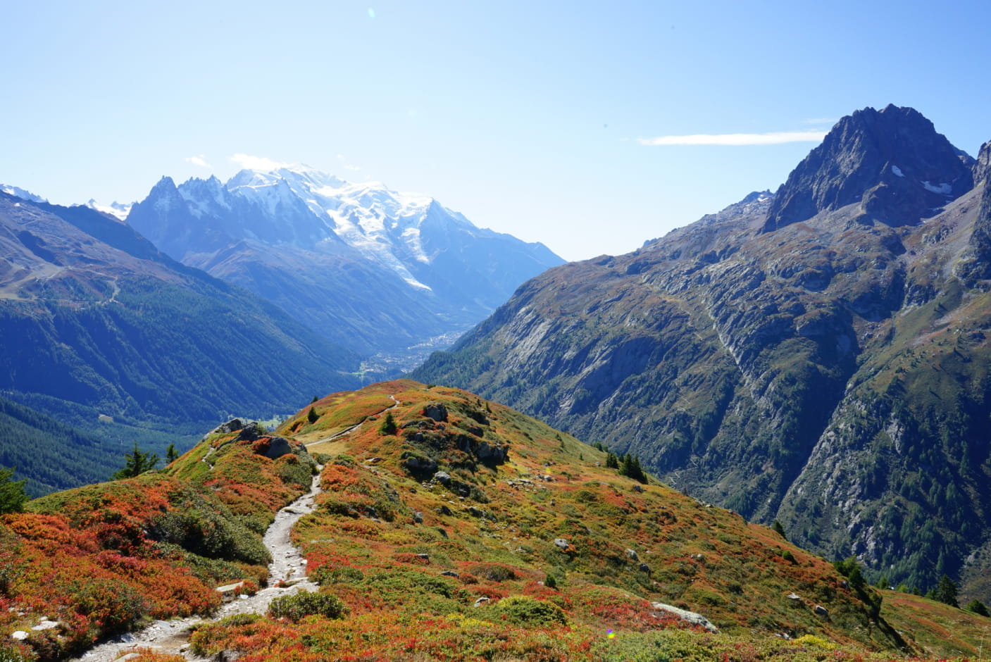
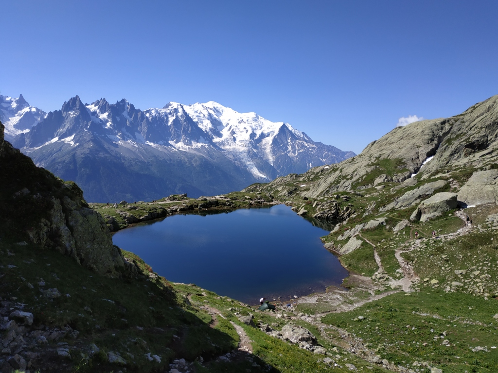
Round trip to Mont Buet, with a very steep drop. Possible stopover at the Pierre à Bérard refuge, before the path passes through the Salenton pass and the Pictet shelter.
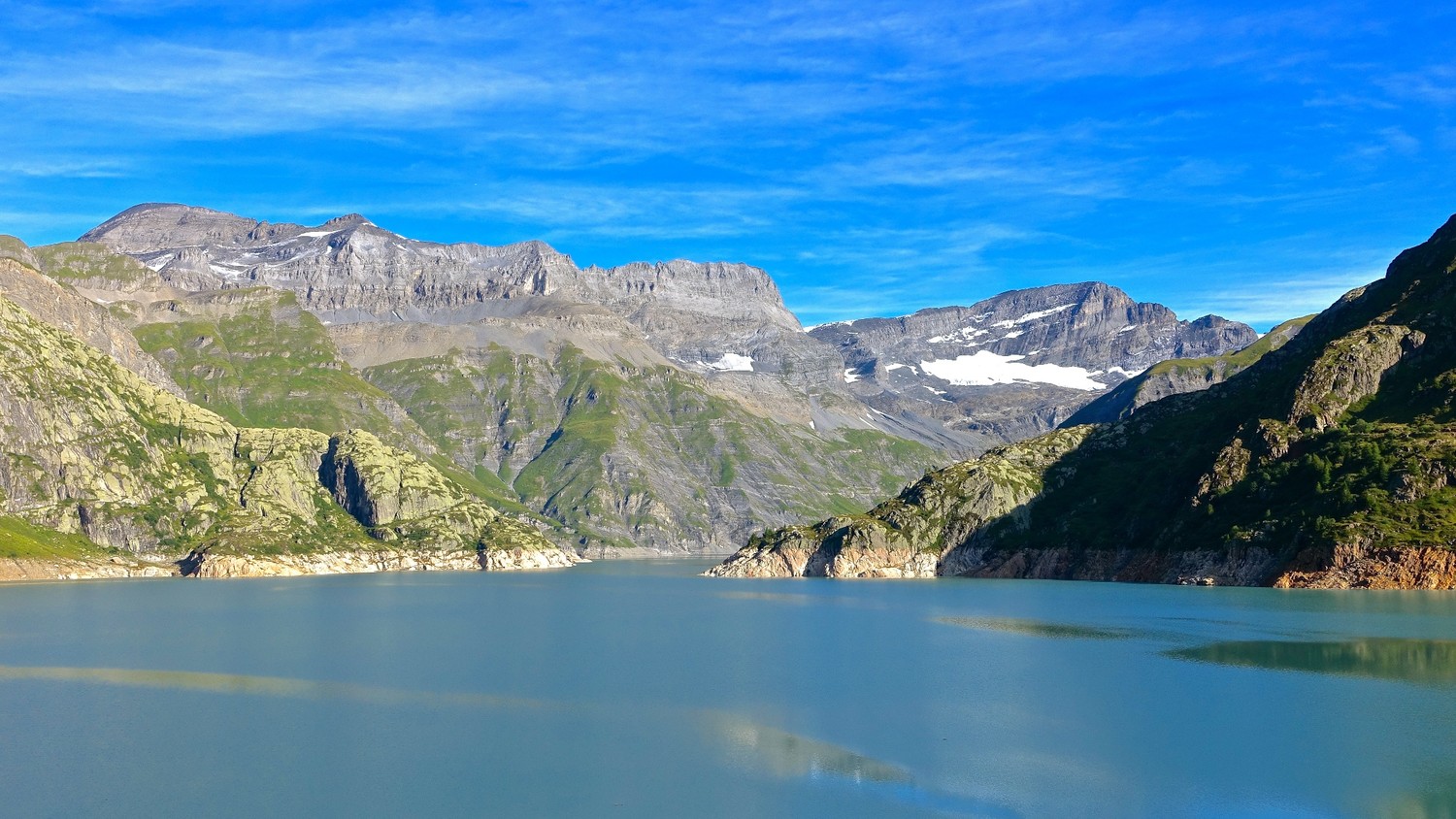
Great views of Mont Blanc in good weather.

Already more than 200,000 users!
Uphill
1784m
Highest point
3080m
Downhill
1784m
Lowest point
1336m
Route type
There and back
Download the map on your smartphone to save battery and rest assured to always keep access to the route, even without signal.
Includes IGN France and Swisstopo.
I indicate whether dogs are allowed or prohibited on this trail
From June to September
0 ratings
Also enjoy:

Already more than 200,000 users!