Uphill
501m
Length
5km
Duration
3h30min
Elev gain
501m
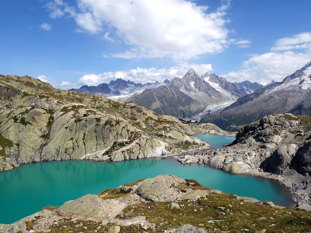
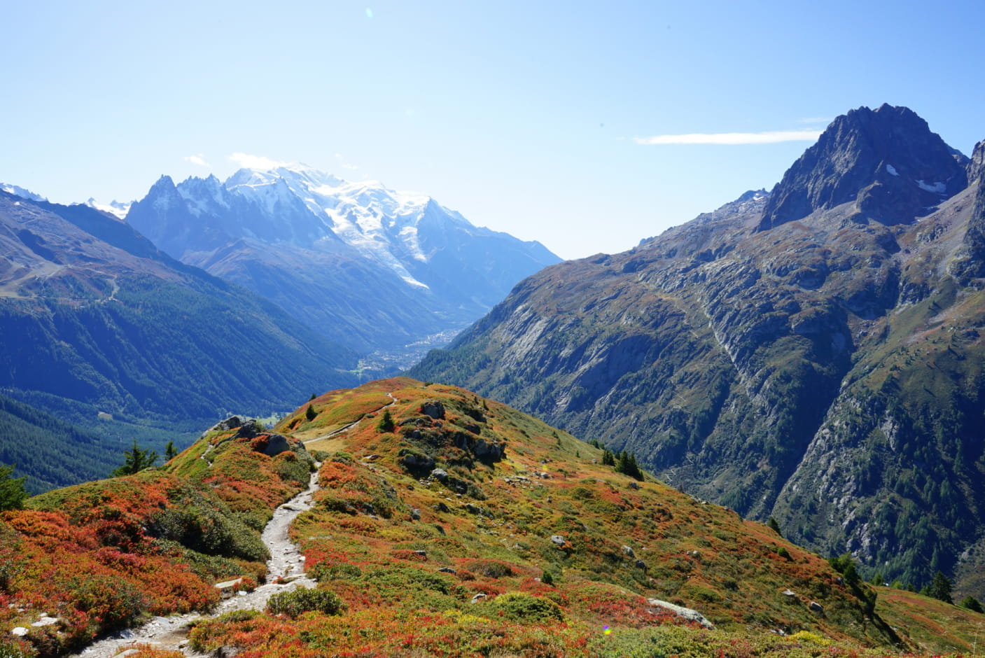
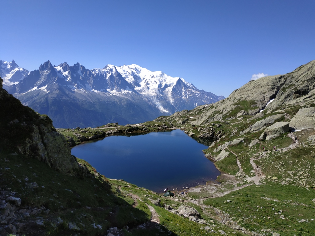
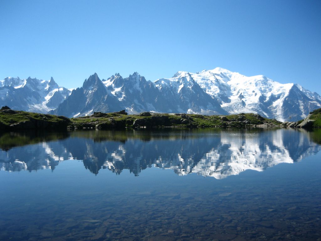
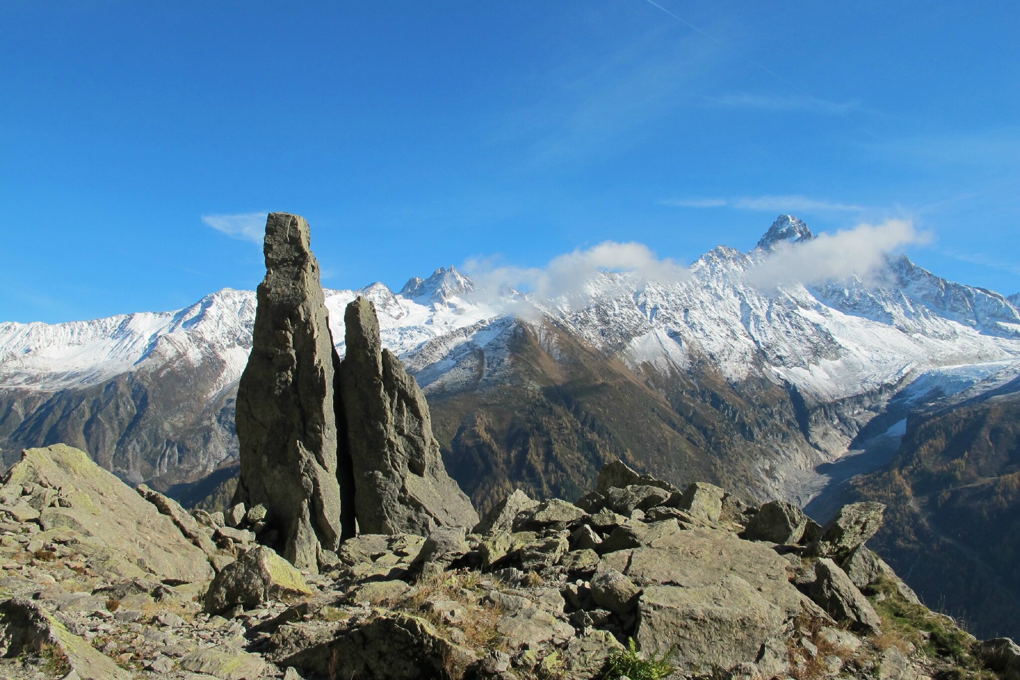
This round-trip hike takes the Tour du Mont-Blanc GR to Aiguillette d'Argentière (1893m), and offers beautiful views of the valley.

Already more than 200,000 users!
Uphill
501m
Highest point
1910m
Downhill
501m
Lowest point
1409m
Route type
There and back
Download the map on your smartphone to save battery and rest assured to always keep access to the route, even without signal.
Includes IGN France and Swisstopo.
I indicate whether dogs are allowed or prohibited on this trail
From May to October
0 ratings
Also enjoy:

Already more than 200,000 users!