Uphill
705m
Length
10km
Duration
5h
Elev gain
705m
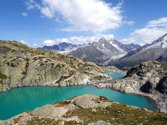
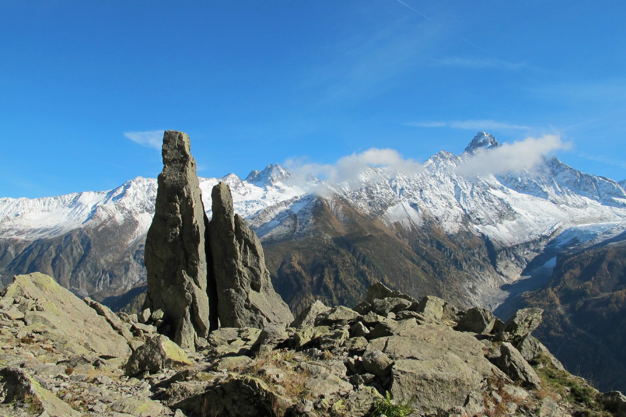
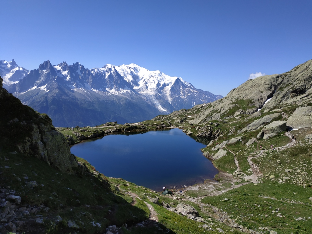
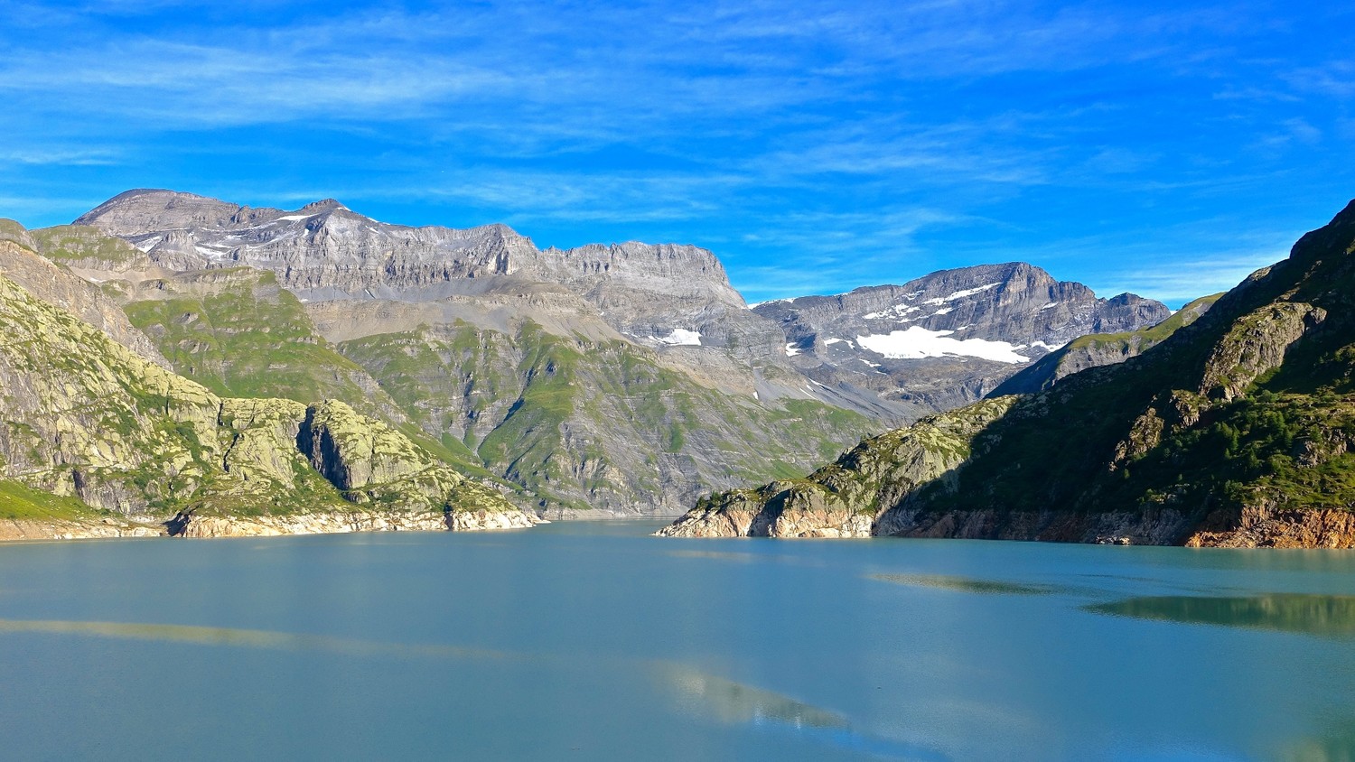
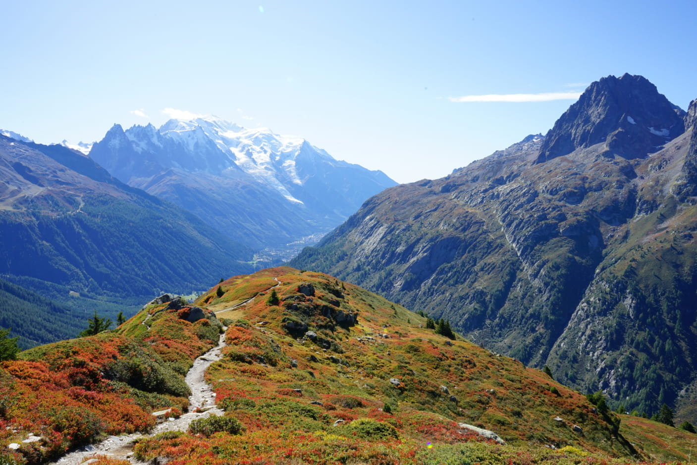
Here is a classic trail in the area. This hike offers magnificent views of Mont-Blanc as well as the Aiguillette des Posettes.
Note that the path is very busy in high season.

Already more than 200,000 users!
Uphill
705m
Highest point
2185m
Downhill
705m
Lowest point
1474m
Route type
Loop
Download the map on your smartphone to save battery and rest assured to always keep access to the route, even without signal.
Includes IGN France and Swisstopo.
I indicate whether dogs are allowed or prohibited on this trail
From May to September
1 rating
Also enjoy:

Already more than 200,000 users!