Uphill
199m
Length
4km
Duration
1h30min
Elev gain
199m
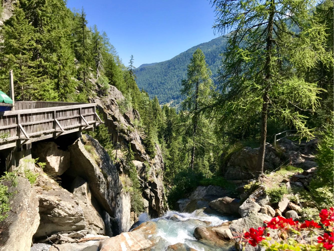
Trail leading to the pretty Bérard waterfall, which is equipped with a walkway and a bistro. The rest of the walk is mainly done in the forest.

Already more than 200,000 users!
Uphill
199m
Highest point
1530m
Downhill
199m
Lowest point
1322m
Route type
Loop
Download the map on your smartphone to save battery and rest assured to always keep access to the route, even without signal.
Includes IGN France and Swisstopo.
I indicate whether dogs are allowed or prohibited on this trail
Can be difficult in Winter
2 ratings
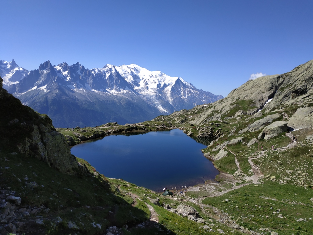
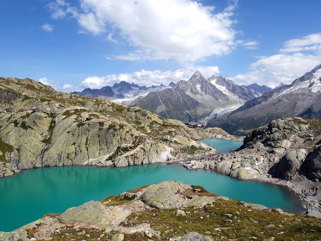
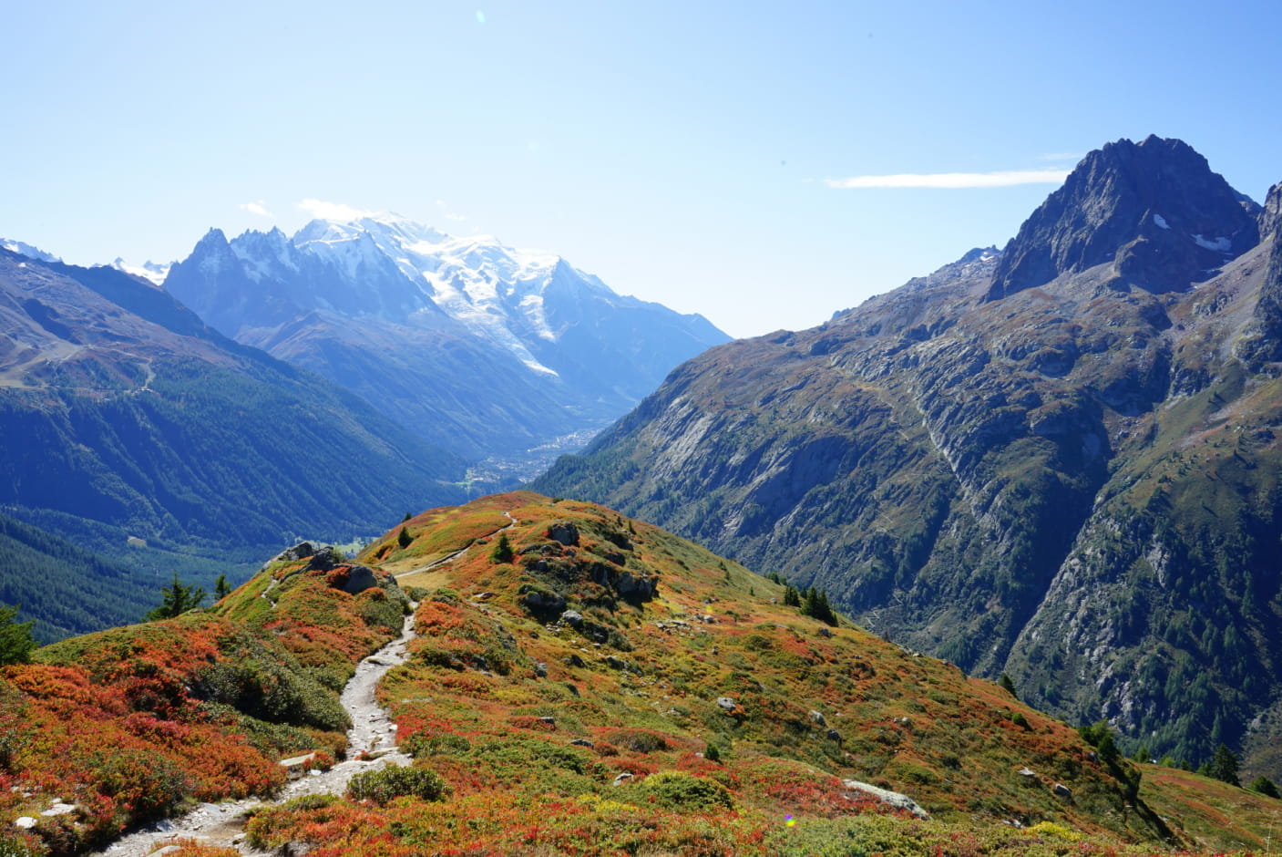
Also enjoy:

Already more than 200,000 users!