Uphill
861m
Length
10km
Duration
6h
Elev gain
861m
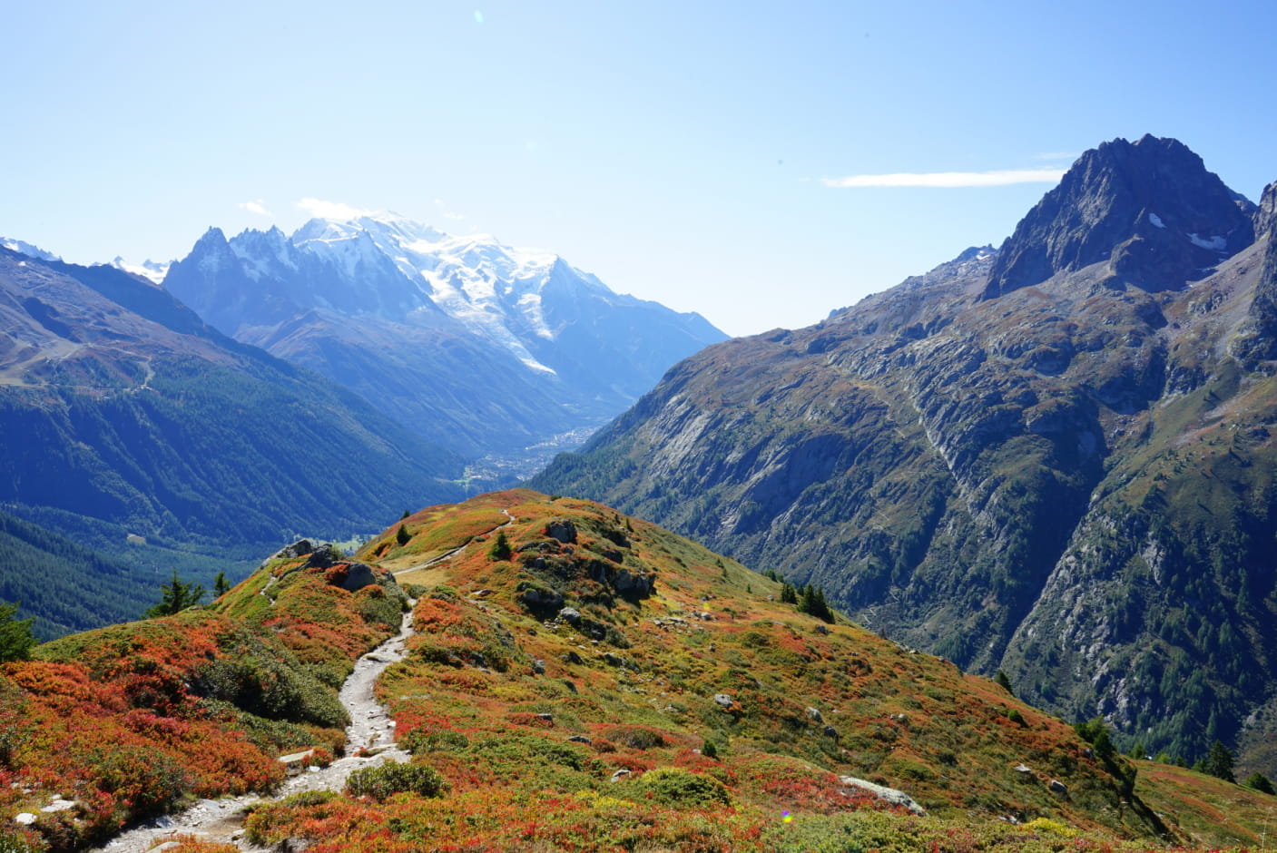
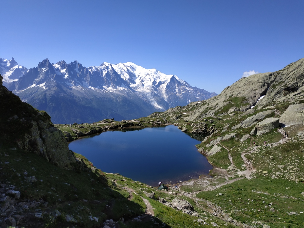
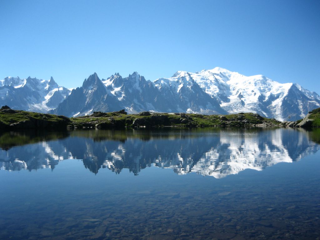
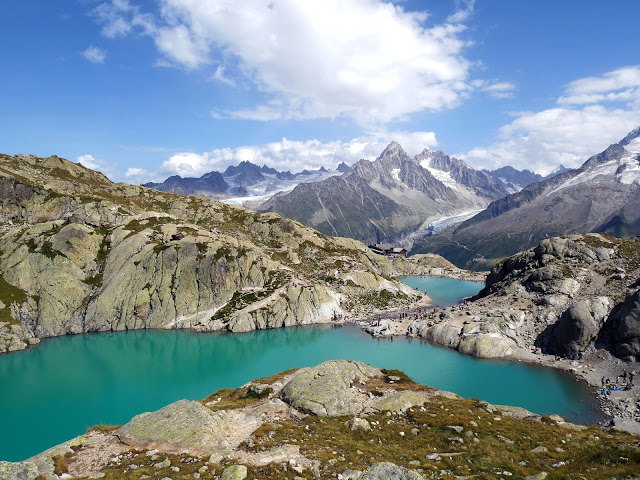
The Cheserys lakes and Lac Blanc are famous for offering magnificent panoramas of the Mont-Blanc massif, whose needles are reflected in the calm waters of the lakes. It is therefore a popular place for photographers.
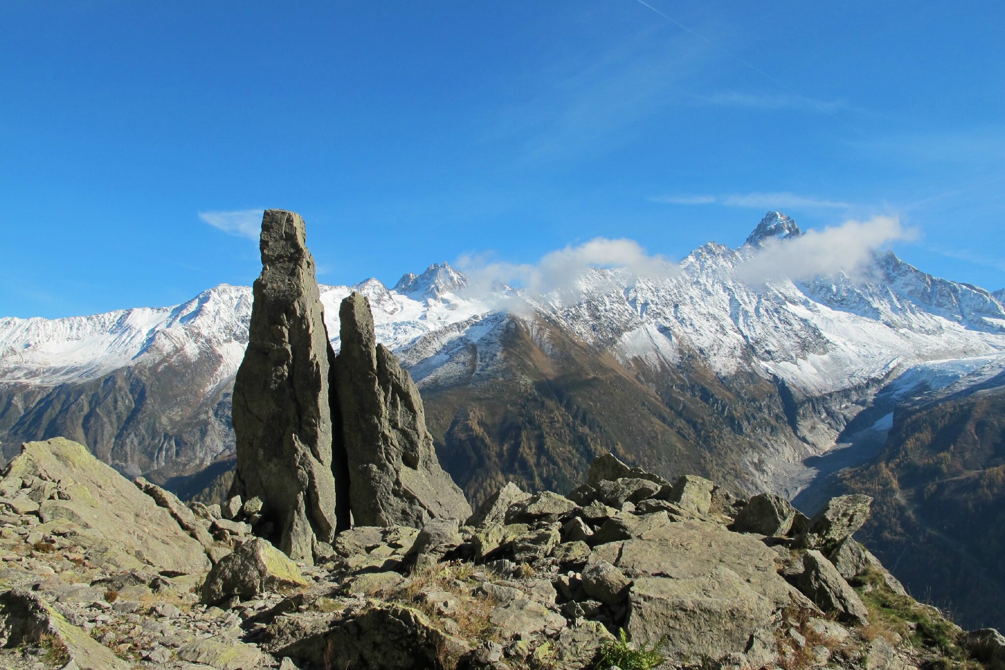
This itinerary also includes a loop off the "classic" paths, up to the summit of the Tête sur les Lacs.

Already more than 200,000 users!
Uphill
861m
Highest point
2236m
Downhill
861m
Lowest point
1409m
Route type
Loop
Download the map on your smartphone to save battery and rest assured to always keep access to the route, even without signal.
Includes IGN France and Swisstopo.
I indicate whether dogs are allowed or prohibited on this trail
From May to September
4 ratings
L’itinéraire n’est pas bon. Nous avons essayé de le suivre après le lac blanc et avons du traverser des grosses roches sans jamais retrouver voir un vrai itinéraire tracé. Nous avons du retrouver un autre chemin au bout d’une heure et demi. Sympa.
Also enjoy:

Already more than 200,000 users!