Uphill
280m
Length
5km
Duration
2h
Elev gain
280m
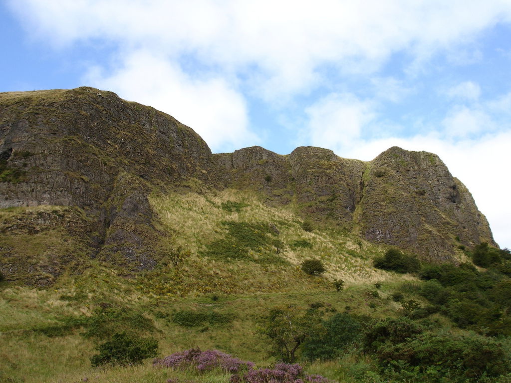
This is a rewarding loop leading to Cavehill, passing Cavehill Cave and the remains of McArt's Fort, remnants of a past era, a prominent landmark overlooking Belfast. The trail is moderate, beginning near Belfast Castle, winding through woodlands and offering glimpses of the city below. The ascent is a little steep but leads to stunning panoramic views unfolding across Belfast Lough and the surrounding area.

Already more than 200,000 users!
Uphill
280m
Highest point
362m
Downhill
280m
Lowest point
135m
Route type
Loop
Download the map on your smartphone to save battery and rest assured to always keep access to the route, even without signal.
Includes IGN France and Swisstopo.
I indicate whether dogs are allowed or prohibited on this trail
All year
0 ratings
Also enjoy:

Already more than 200,000 users!


