Uphill
839m
Length
10km
Duration
5h30min
Elev gain
839m
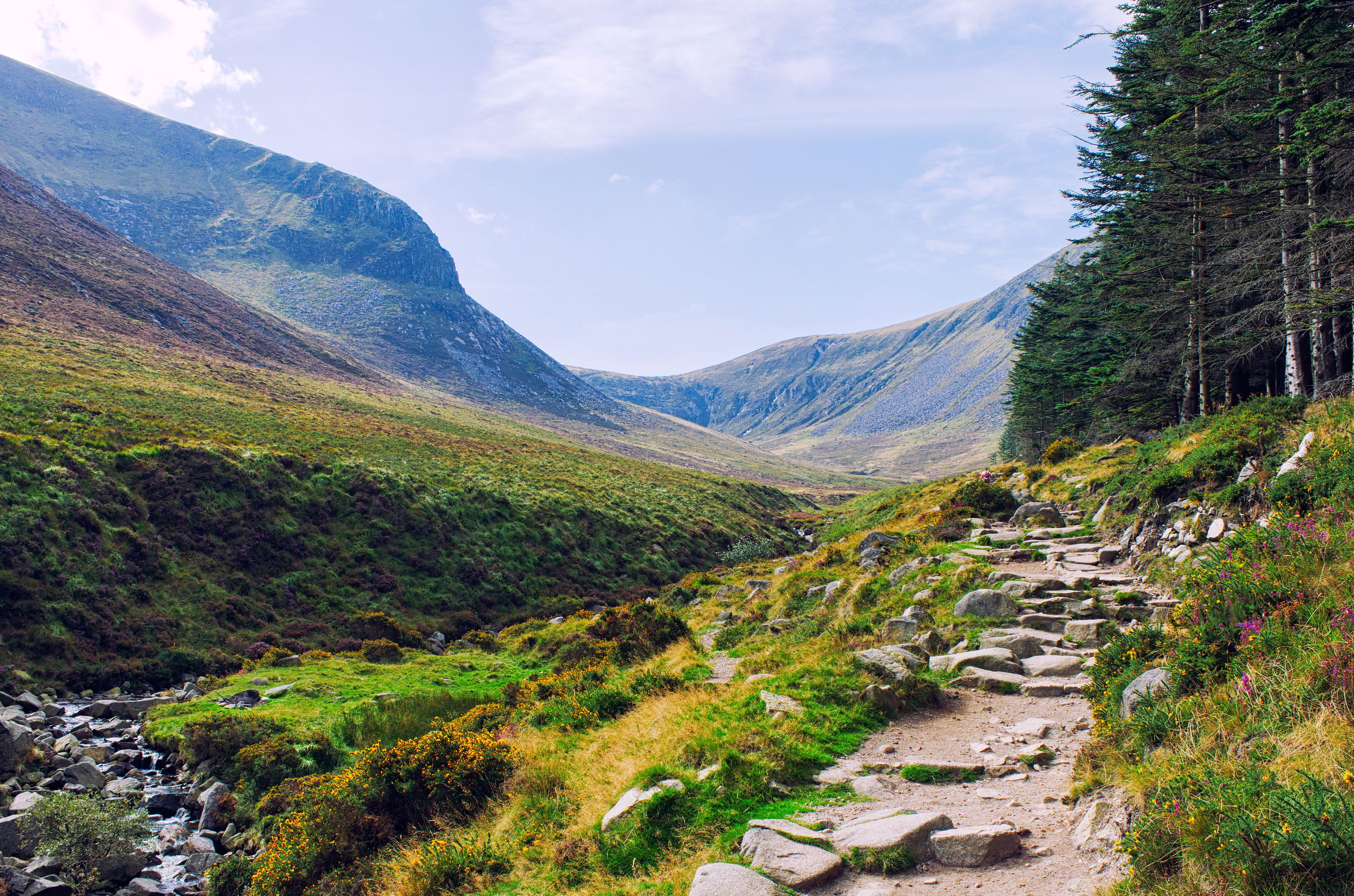
This is a great and challenging there-and-back hike beginning in Donard Park to ascend the Slieve Donard Peak in Mourne Mountains National Landscape (AONB). The trail is well-maintained but difficult following a steep and rocky track to the summit with more than 800 metres of elevation gain. The views along the way and at the top are fantastic, with beautiful vistas of the sea and surrounding mountains as well as passing by rivers and woodlands. A hike that is definitely well-worth the effort!

Already more than 200,000 users!
Uphill
839m
Highest point
852m
Downhill
839m
Lowest point
14m
Route type
There and back
Download the map on your smartphone to save battery and rest assured to always keep access to the route, even without signal.
Includes IGN France and Swisstopo.
I indicate whether dogs are allowed or prohibited on this trail
All year
0 ratings
Also enjoy:

Already more than 200,000 users!


