Uphill
1606m
Length
22km
Duration
11h30min
Elev gain
1606m
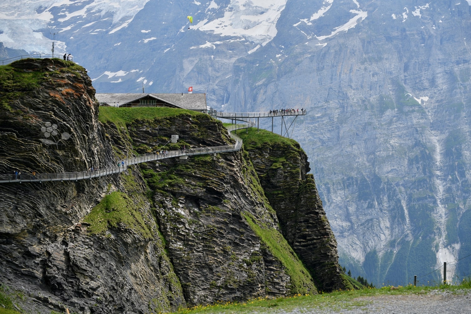
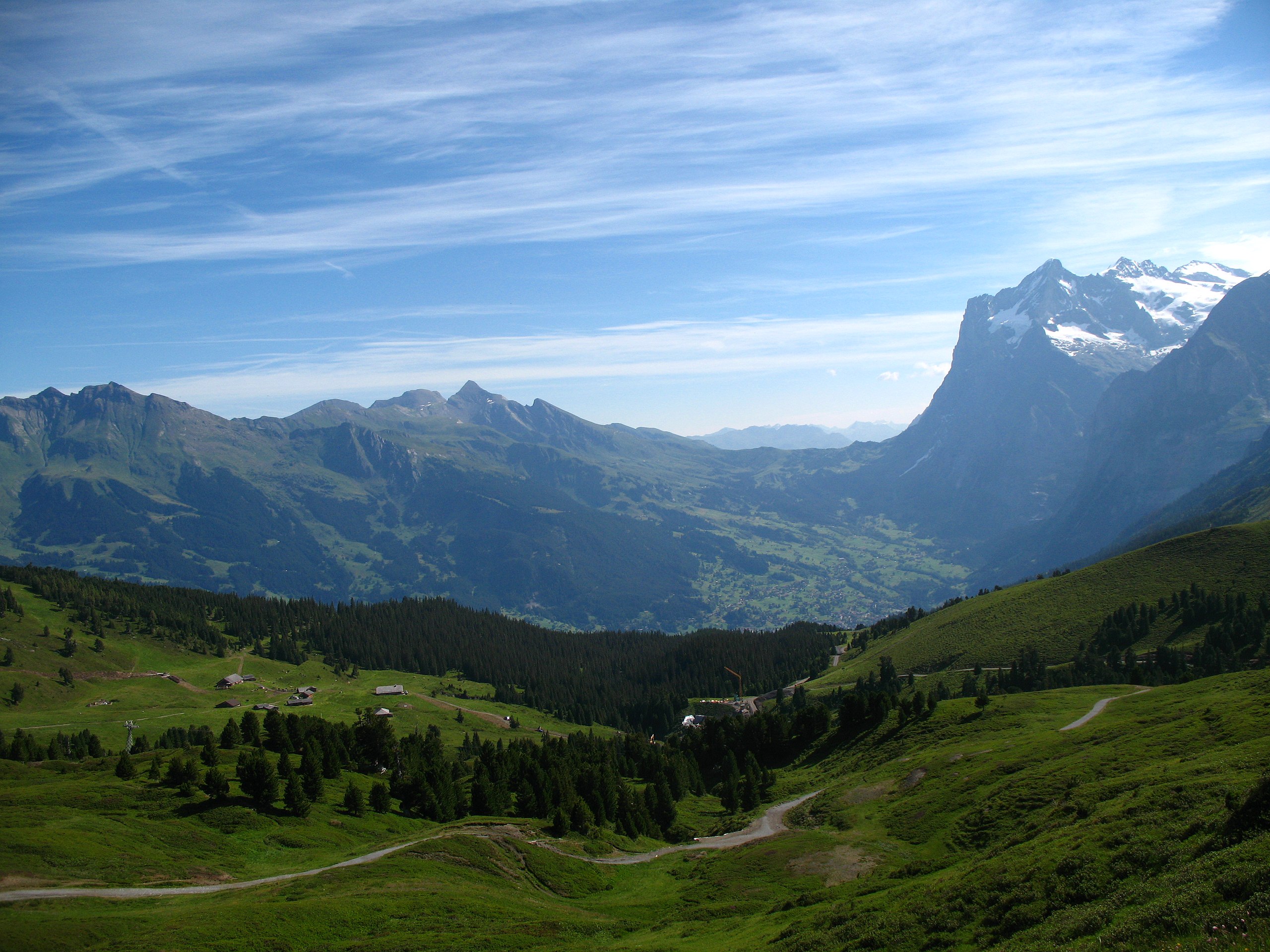
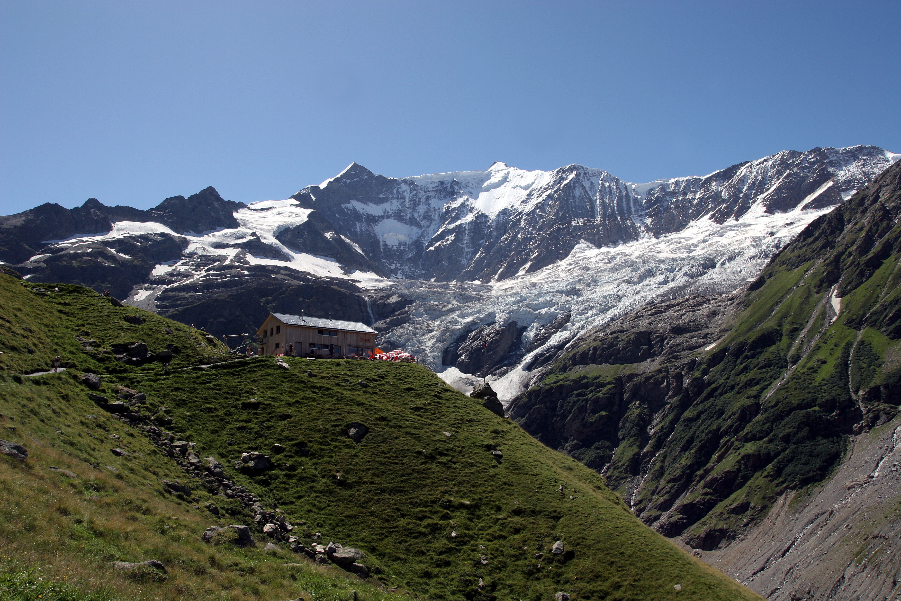
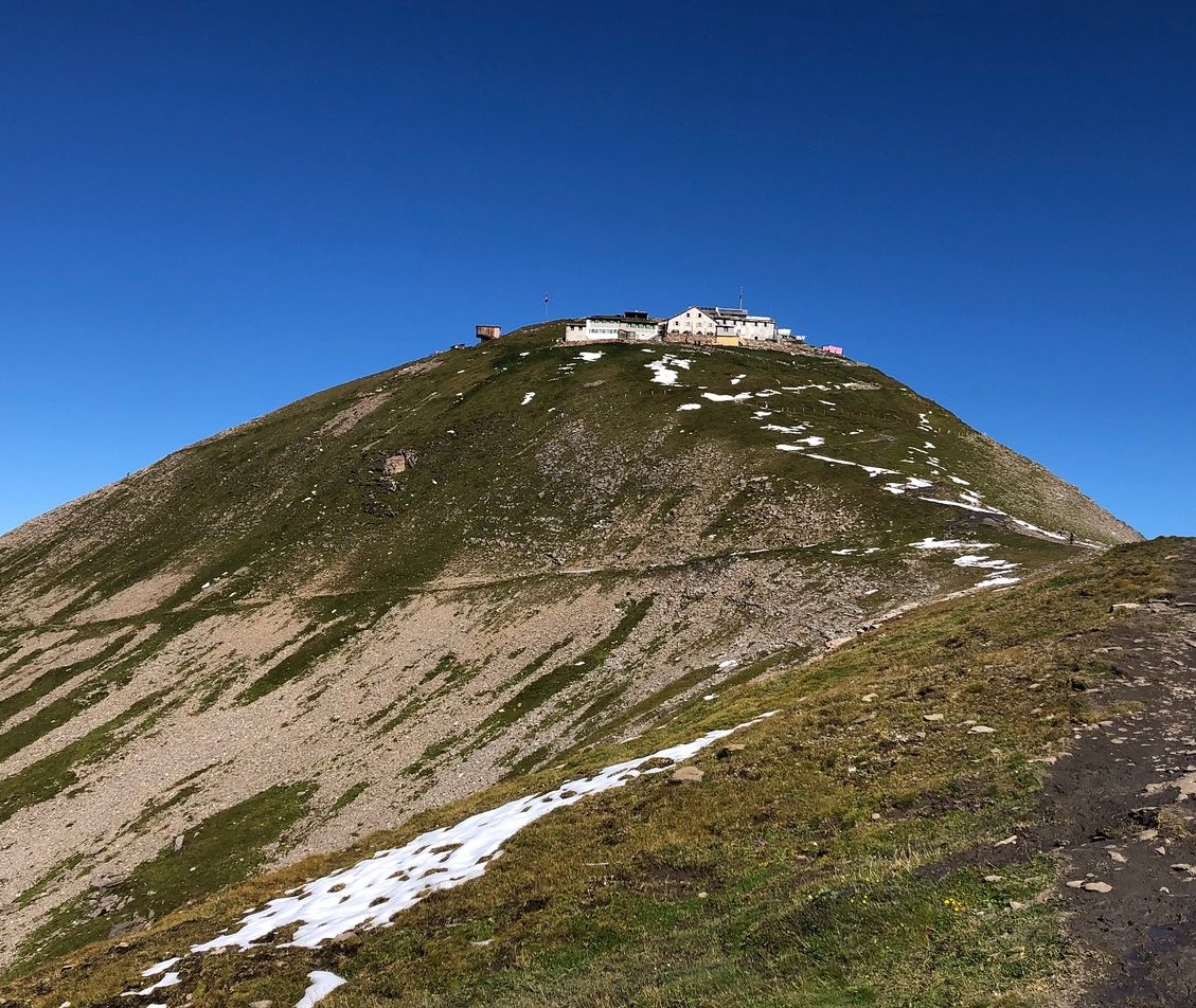
Departing from Grindelwald, this route leads to the summit of the Faulhorn, culminating at 2,681 meters above sea level. The hike is done on a well-marked and laid out path, passes by the famous Bachalp lake and ends up reaching the Faulhorn. Here, the view of the Eiger is fabulous. You then have to take the same path back to the starting point.

Already more than 200,000 users!
Uphill
1606m
Highest point
2666m
Downhill
1606m
Lowest point
1049m
Route type
There and back
Download the map on your smartphone to save battery and rest assured to always keep access to the route, even without signal.
Includes IGN France and Swisstopo.
I indicate whether dogs are allowed or prohibited on this trail
From June to September
0 ratings
Also enjoy:

Already more than 200,000 users!