Uphill
541m
Length
6km
Duration
3h30min
Elev gain
541m
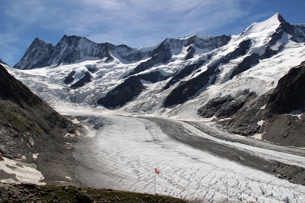
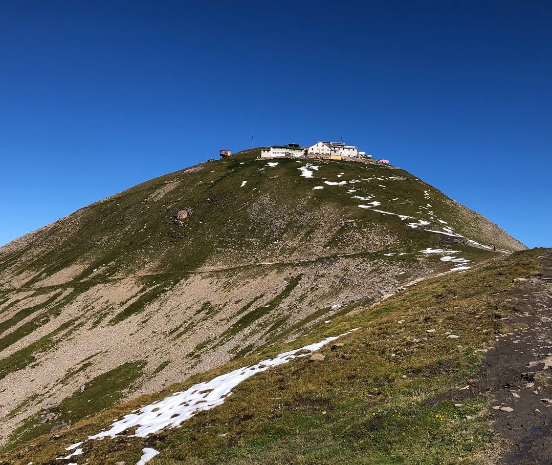
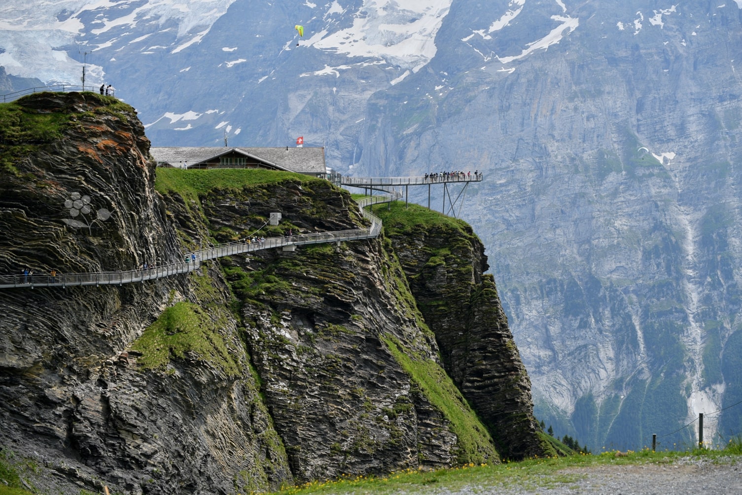
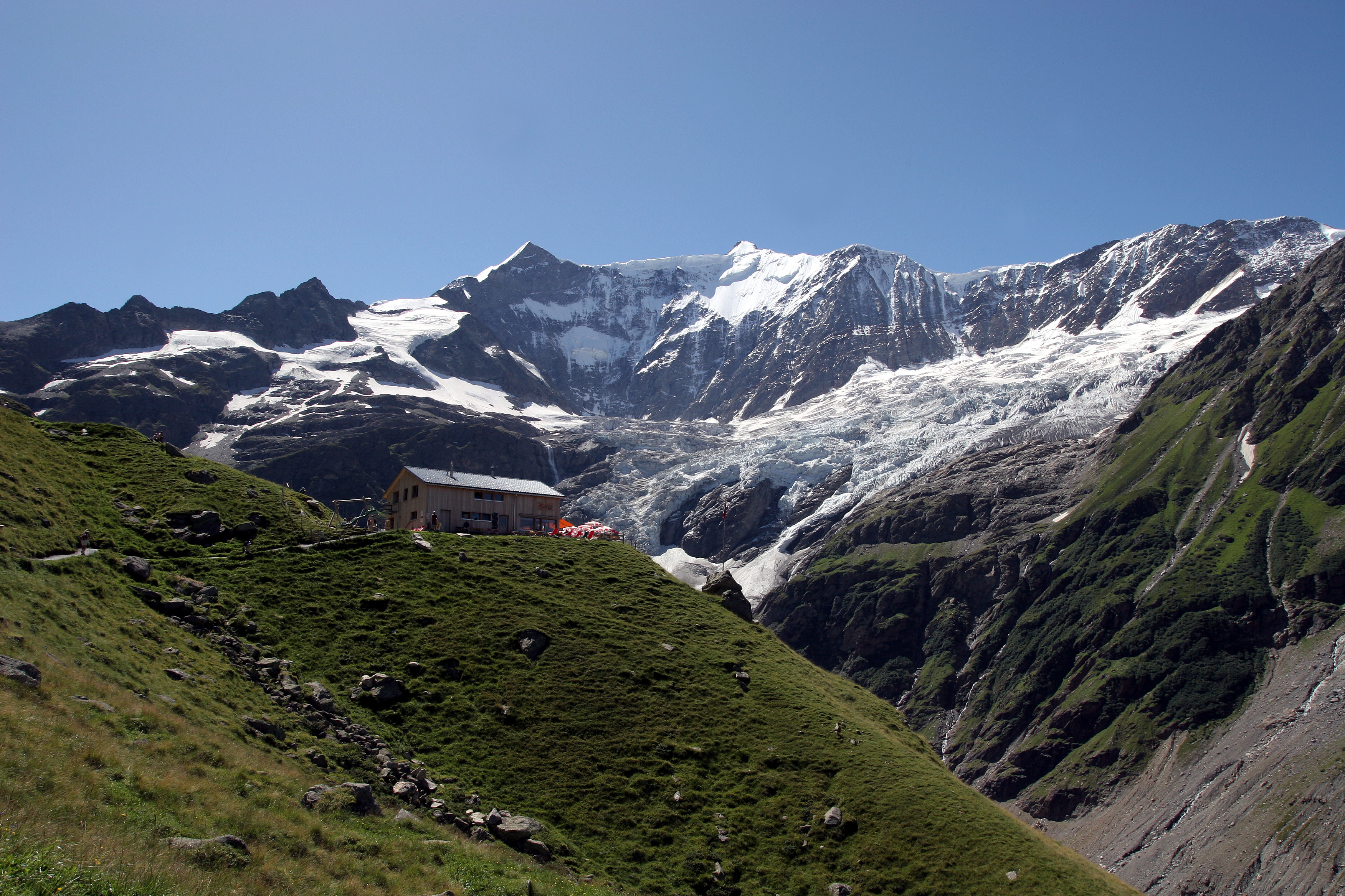
From the Pfingstegg cable car, this route rises to reach the Bäregg hut, built in 2006 and located at 1,772 meters above sea level. This route offers beautiful views of Grindelwald and its surroundings.

Already more than 200,000 users!
Uphill
541m
Highest point
1777m
Downhill
541m
Lowest point
1356m
Route type
There and back
Download the map on your smartphone to save battery and rest assured to always keep access to the route, even without signal.
Includes IGN France and Swisstopo.
I indicate whether dogs are allowed or prohibited on this trail
From May to October
0 ratings
Also enjoy:

Already more than 200,000 users!