Uphill
97m
Length
3km
Duration
1h
Elev gain
97m
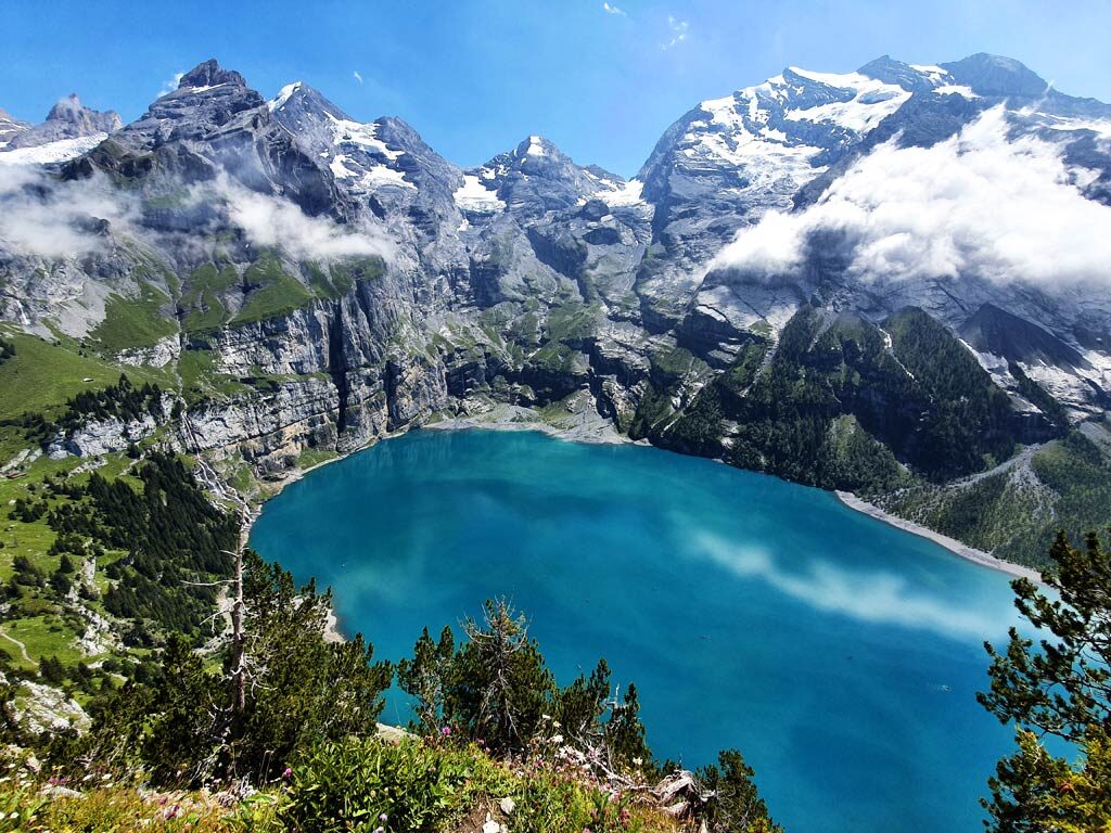
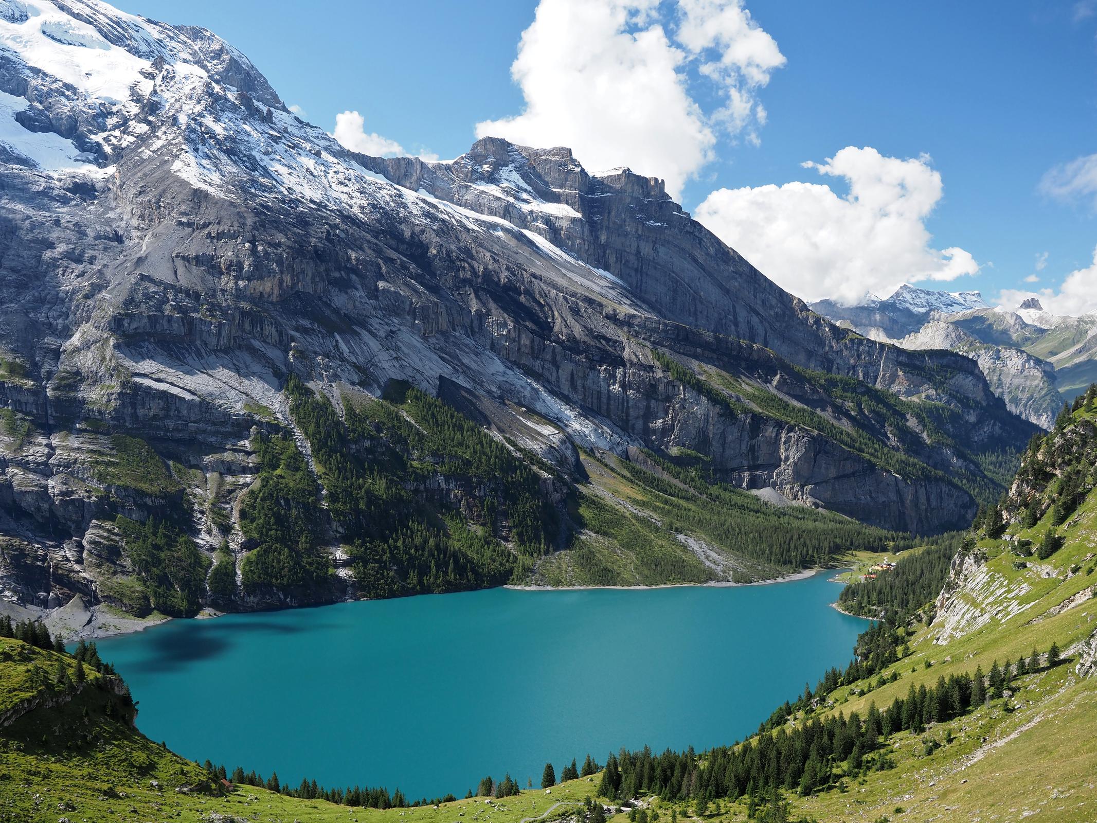
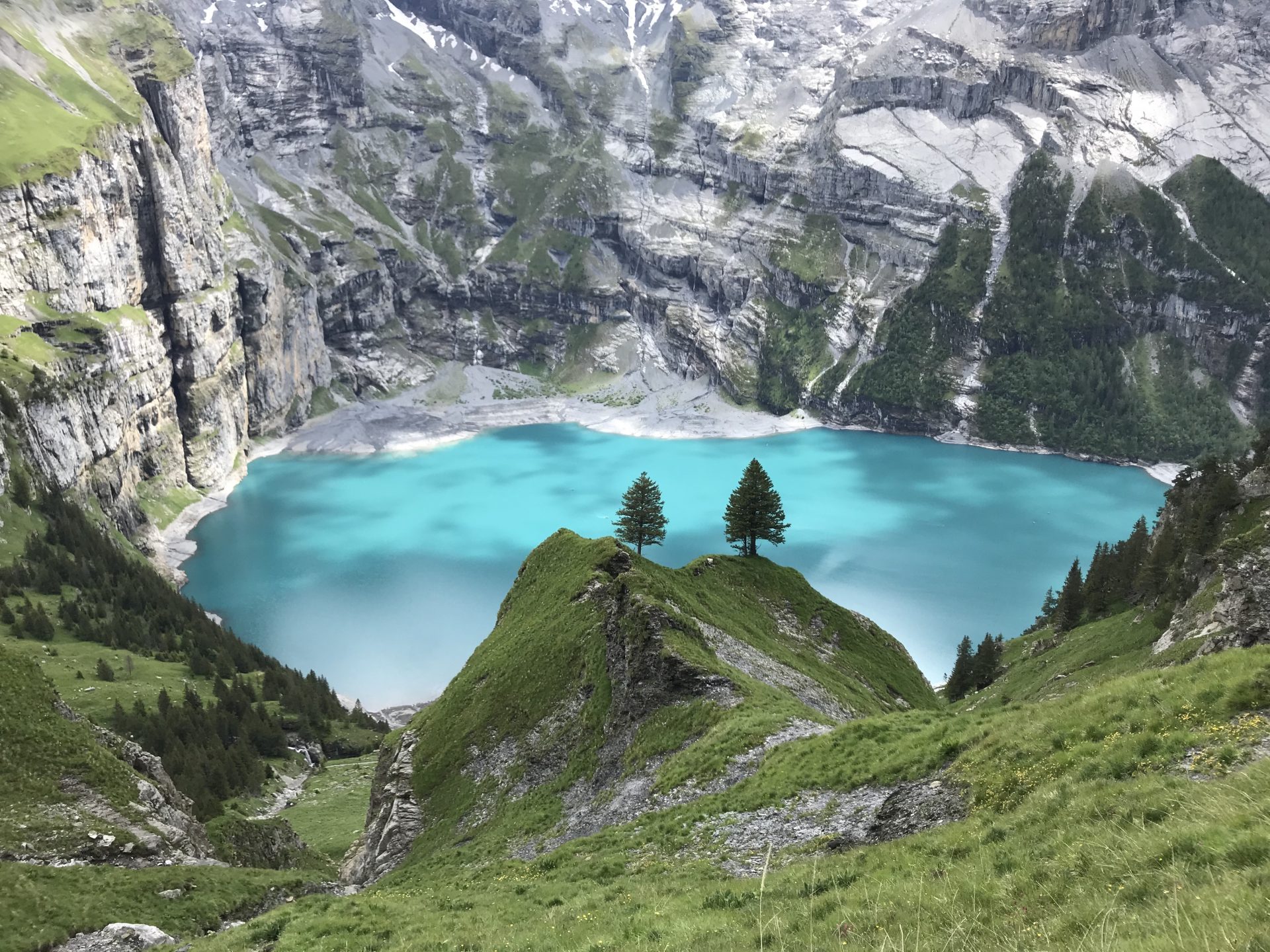
Departing from the upper station of Oeschinen, accessible by cable car from Kandersteg, this short walk goes back and forth to Lake Oeschinen. The course is done on a well laid out path accessible to all and ends up leading to the beautiful turquoise lake.

Already more than 200,000 users!
Uphill
97m
Highest point
1691m
Downhill
97m
Lowest point
1585m
Route type
There and back
Download the map on your smartphone to save battery and rest assured to always keep access to the route, even without signal.
Includes IGN France and Swisstopo.
Authorised
From May to October
0 ratings
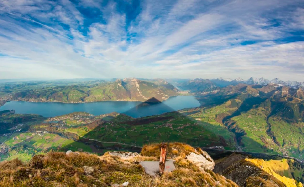
Also enjoy:

Already more than 200,000 users!