Uphill
899m

Length
9km
Duration
6h
Elev gain
899m
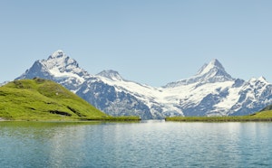
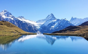
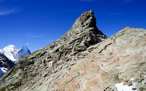
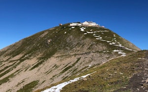
Departing from First, this hike climbs to the summit of the Schwarzhorn, located at 2,928 meters above sea level. The course is done in a sublime natural setting and ends with a part of climbing. At the top, the view is splendid.

Already more than 200,000 users!
Uphill
899m
Highest point
2923m
Downhill
899m
Lowest point
2089m
Route type
There and back
Download the map on your smartphone to save battery and rest assured to always keep access to the route, even without signal.
Includes IGN France and Swisstopo.
I indicate whether dogs are allowed or prohibited on this trail
From May to September
0 ratings
Also enjoy:

Already more than 200,000 users!