Uphill
798m
Length
11km
Duration
5h30min
Elev gain
798m
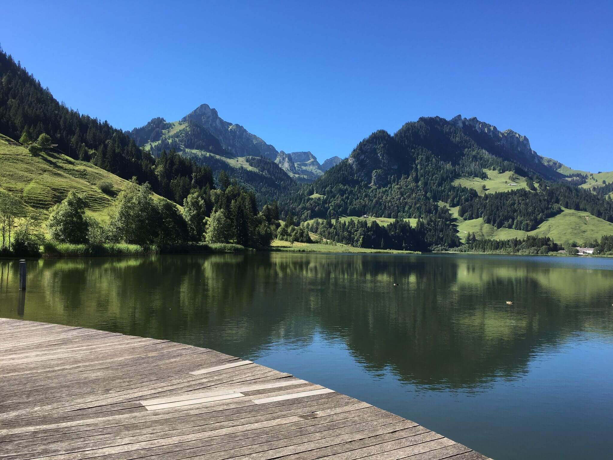
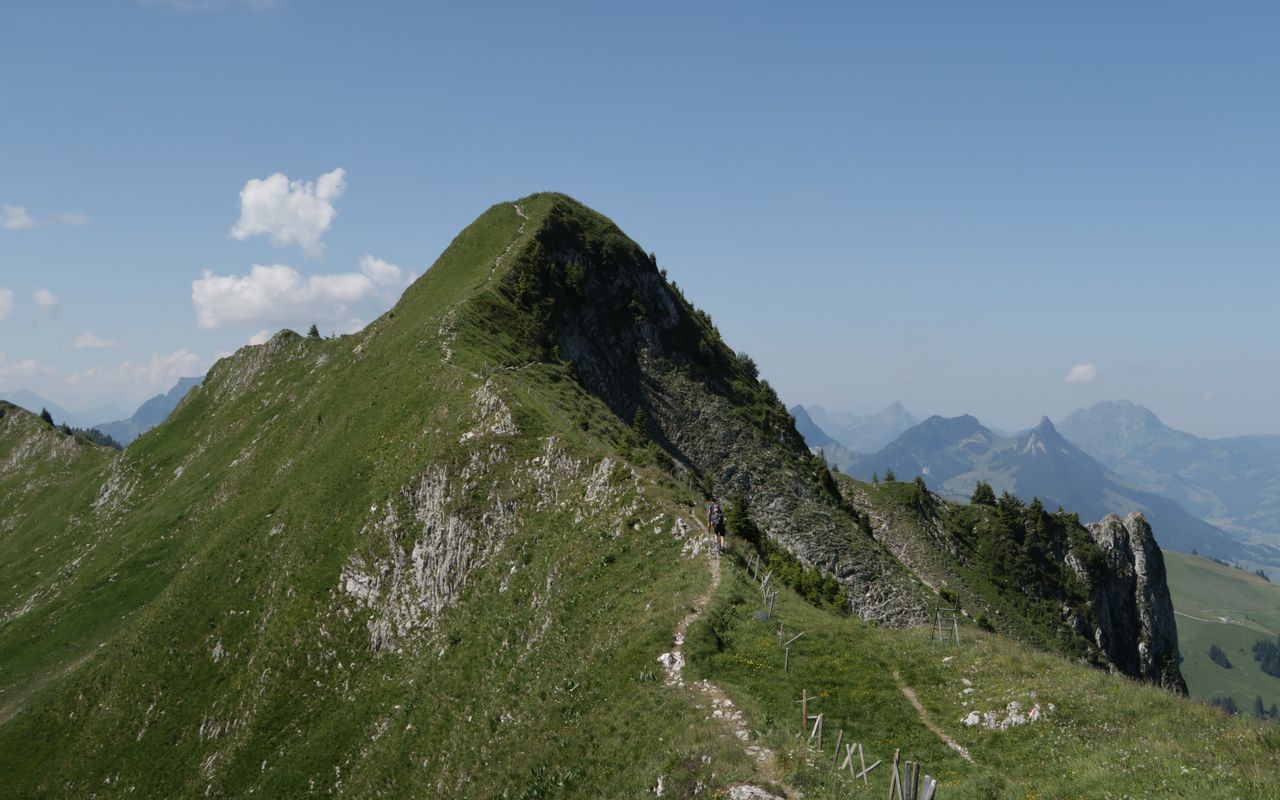
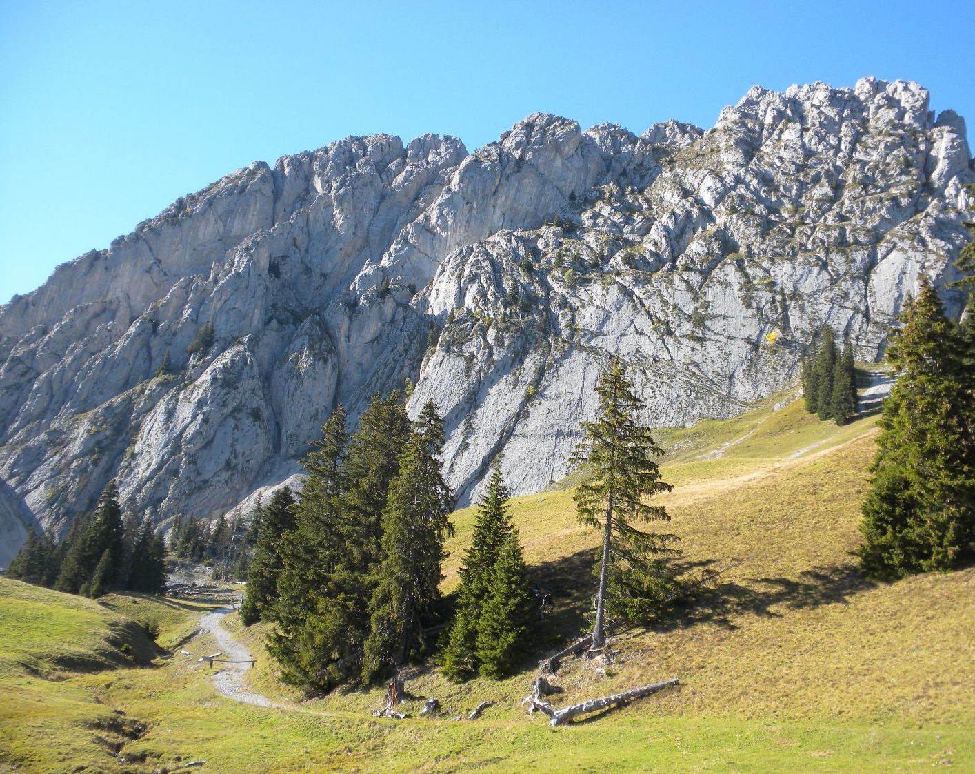
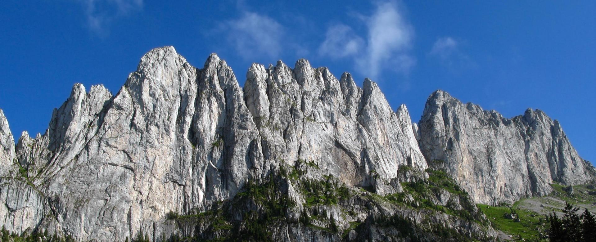
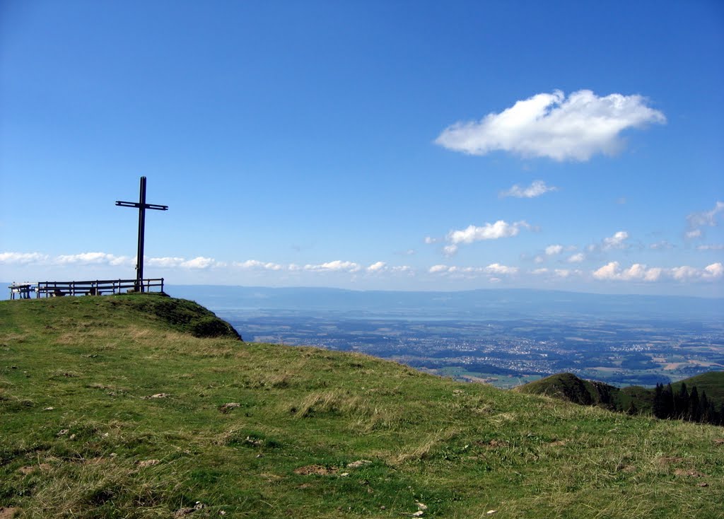
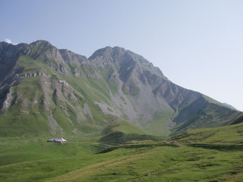
Departing from the Riggisalp chairlift, this route climbs up to Kaiseregg, located at an altitude of 2,185 metres. On varied and steep paths, this hike is done in a resplendent nature. On the way back, a short break at the Bärghuus restaurant is more than welcome, just to regain your strength!

Already more than 200,000 users!
Uphill
798m
Highest point
2186m
Downhill
798m
Lowest point
1432m
Route type
There and back
Download the map on your smartphone to save battery and rest assured to always keep access to the route, even without signal.
Includes IGN France and Swisstopo.
I indicate whether dogs are allowed or prohibited on this trail
From May to September
0 ratings
Also enjoy:

Already more than 200,000 users!