Uphill
817m
Length
12km
Duration
6h
Elev gain
817m
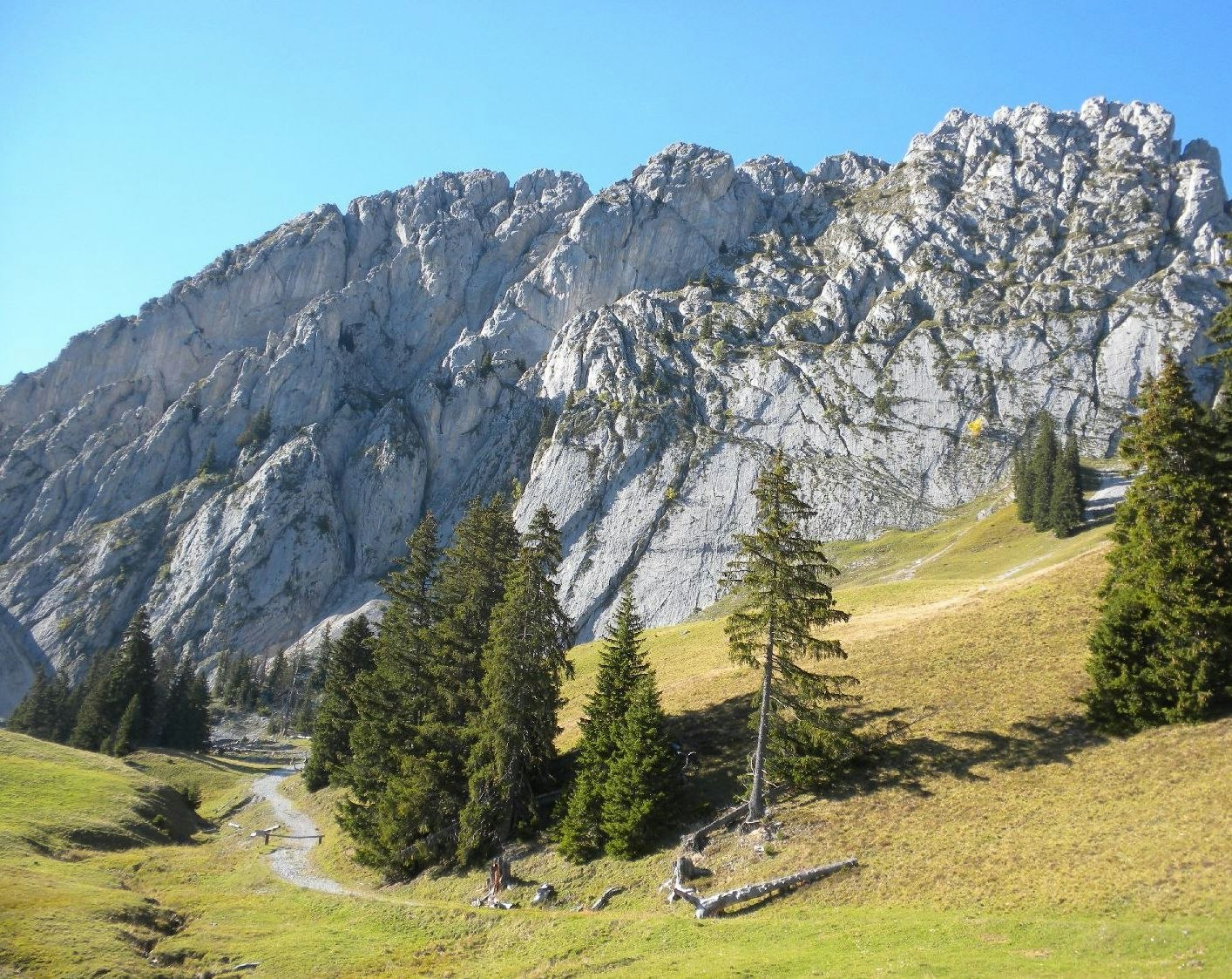
Departing from Musersbergli station, this relatively long and complicated route requires good physical condition. Indeed, the route climbs up to Wandflue, located at 2,133 meters above sea level, alternating between forests, meadows and rocky granite. The landscapes are magnificent and the views of the Swiss Alps are breathtaking.

Already more than 200,000 users!
Uphill
817m
Highest point
2105m
Downhill
817m
Lowest point
1490m
Route type
Loop
Download the map on your smartphone to save battery and rest assured to always keep access to the route, even without signal.
Includes IGN France and Swisstopo.
Parking by the side of the road.
Station Musersbergli nearby (funicular).
I indicate whether dogs are allowed or prohibited on this trail
From May to September
0 ratings
Also enjoy:

Already more than 200,000 users!


