Uphill
39m
Length
6km
Duration
1h30min
Elev gain
39m
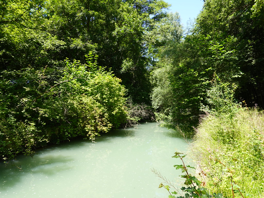
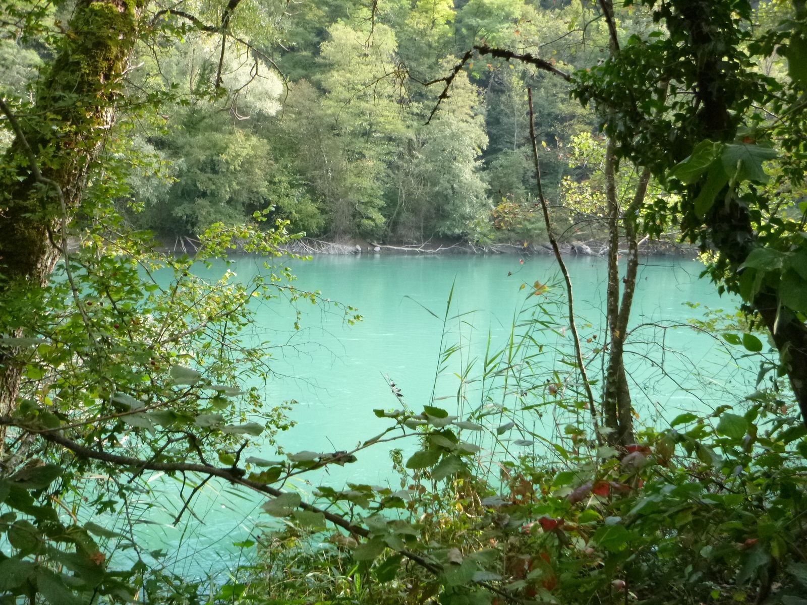
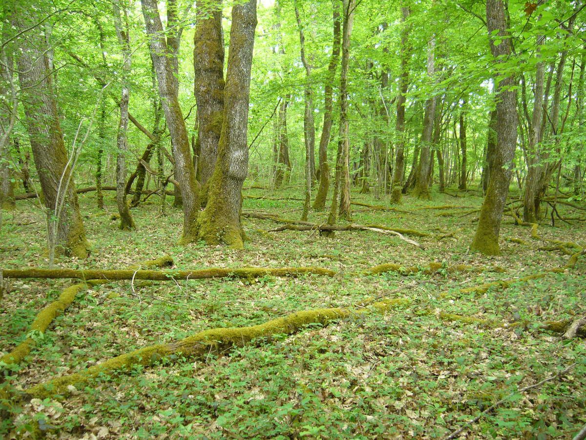
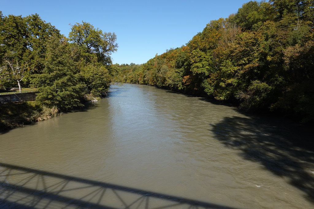
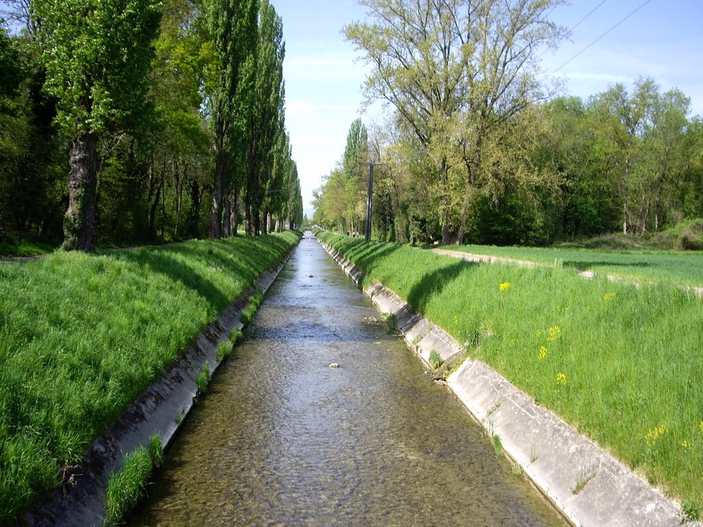
The start of this walk is in Lully, in the canton of Geneva. The route runs along the banks of the Aire and even crosses the Franco-Swiss border to follow the path near Saint-Julien-en-Genevois. The trail is dotted with picnic areas and playgrounds for children, making it ideal for a short family outing.

Already more than 200,000 users!
Uphill
39m
Highest point
443m
Downhill
39m
Lowest point
397m
Route type
There and back
Download the map on your smartphone to save battery and rest assured to always keep access to the route, even without signal.
Includes IGN France and Swisstopo.
I indicate whether dogs are allowed or prohibited on this trail
All year
1 rating
Also enjoy:

Already more than 200,000 users!