Uphill
40m
Length
3km
Duration
1h
Elev gain
40m
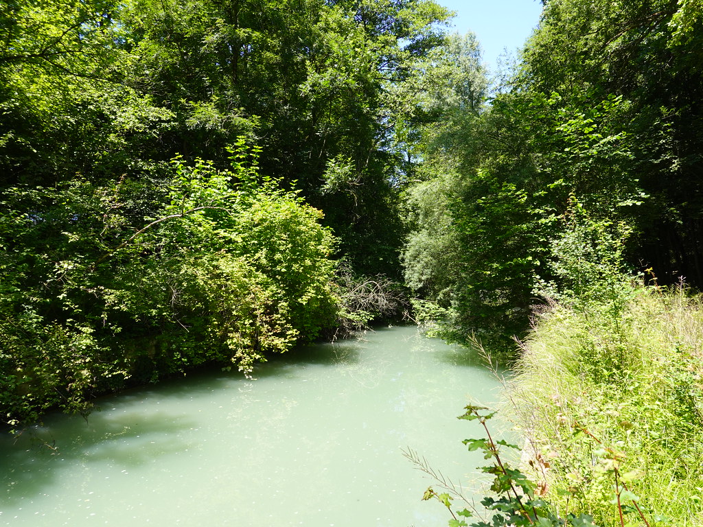
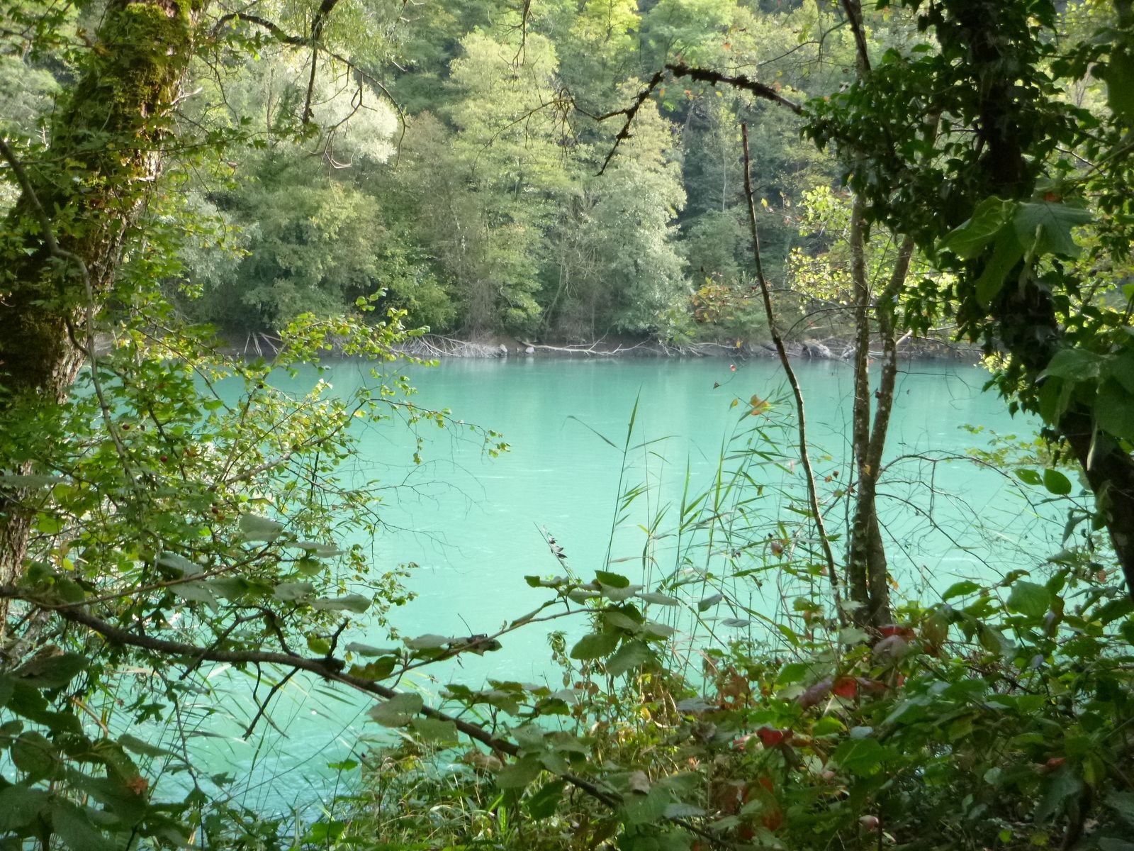
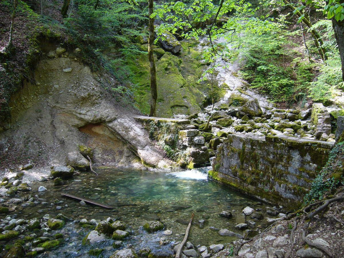
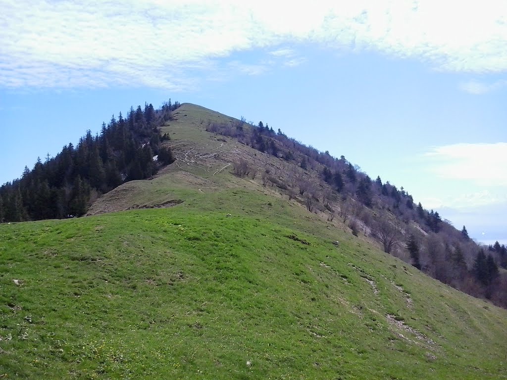
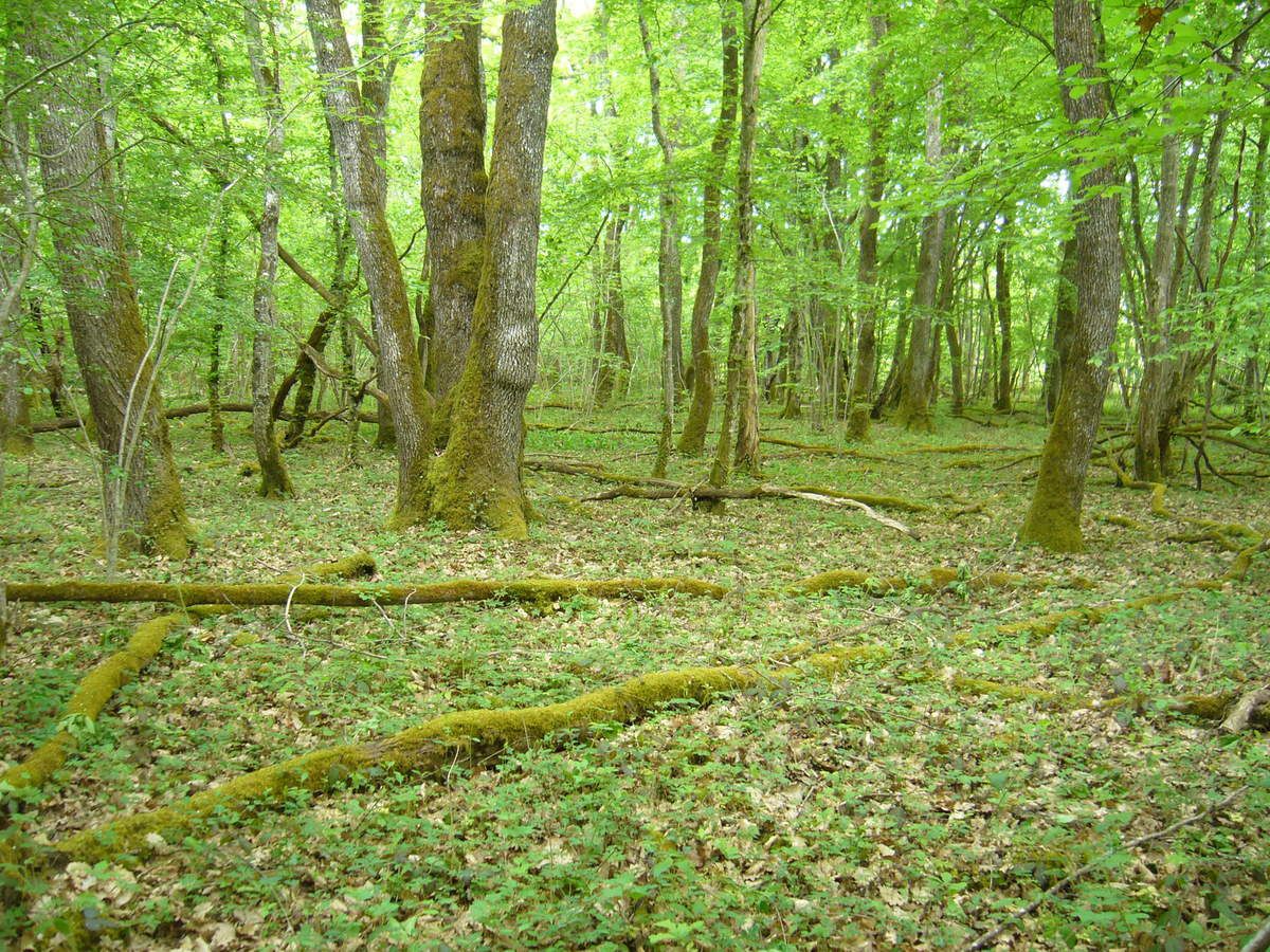
A short walk in the Bois de Serves in Saint-Genis-Pouilly. This course makes a loop in the woods and passes near the Serves golf course.

Already more than 200,000 users!
Uphill
40m
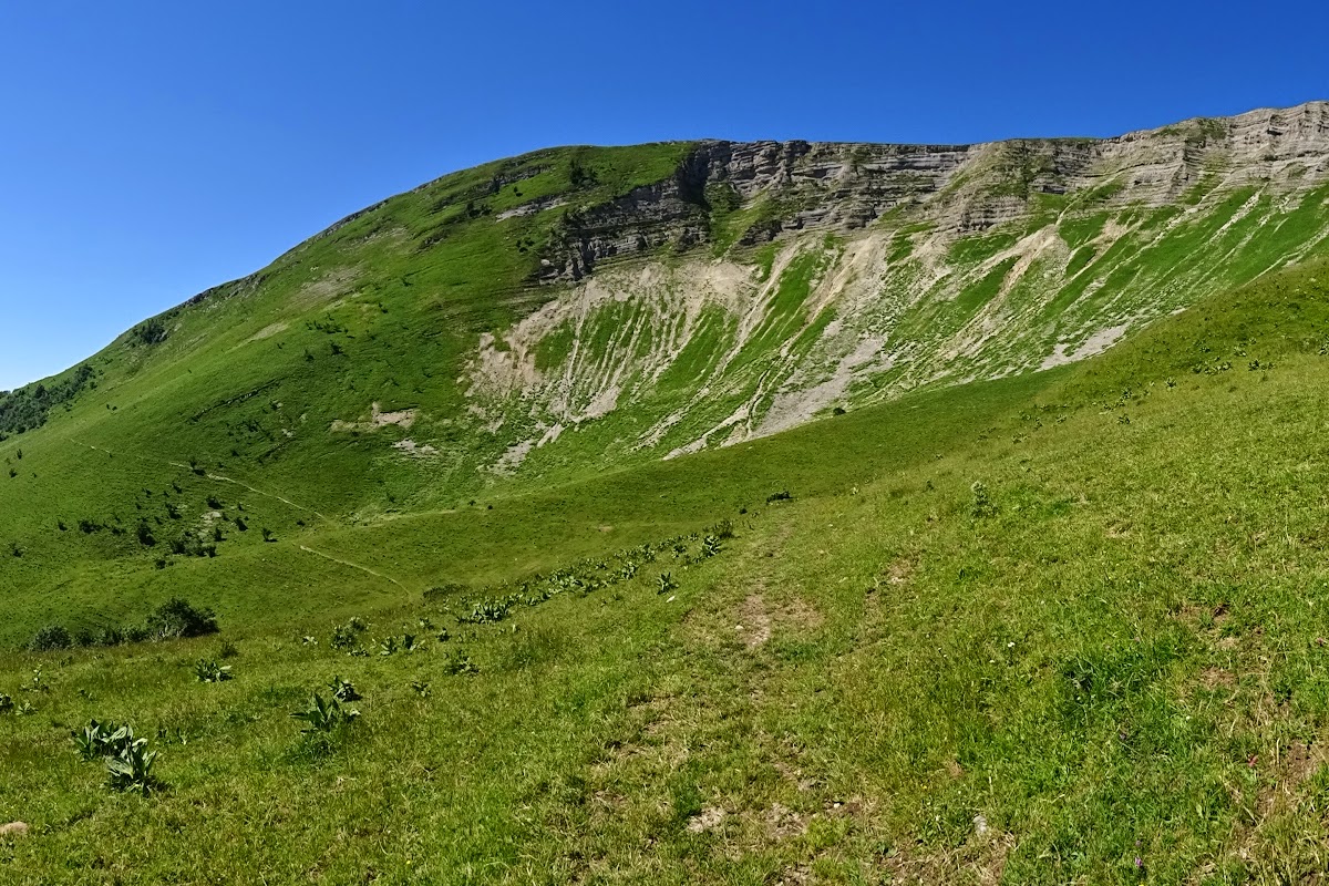
Highest point
469m
Downhill
40m
Lowest point
445m
Route type
Loop
Download the map on your smartphone to save battery and rest assured to always keep access to the route, even without signal.
Includes IGN France and Swisstopo.
I indicate whether dogs are allowed or prohibited on this trail
All year
2 ratings
Also enjoy:

Already more than 200,000 users!