Uphill
805m
Length
7km
Duration
5h
Elev gain
805m
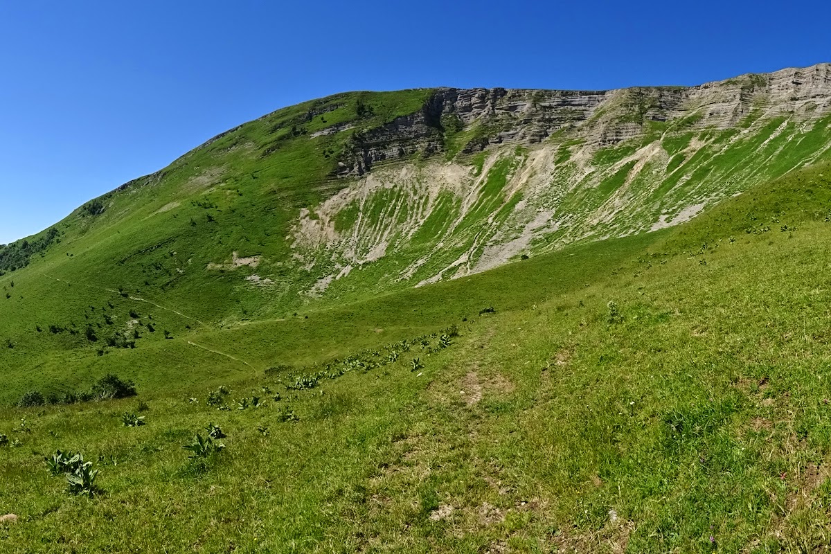
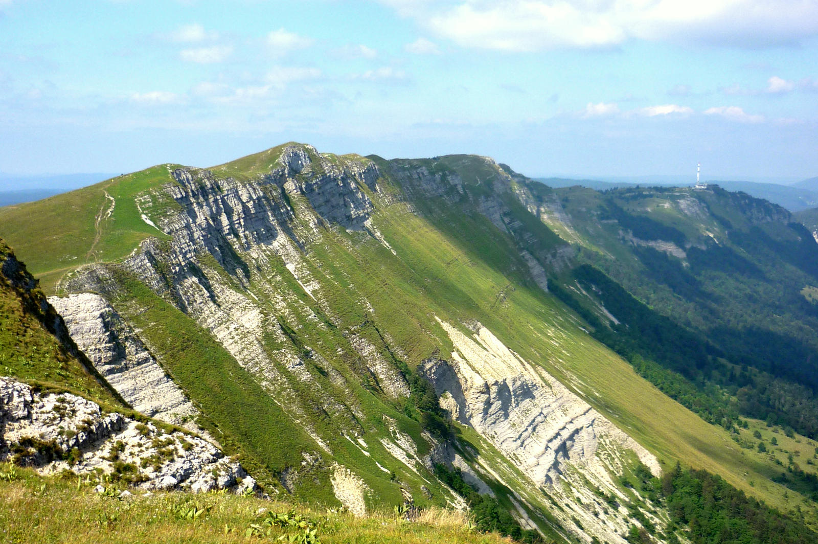
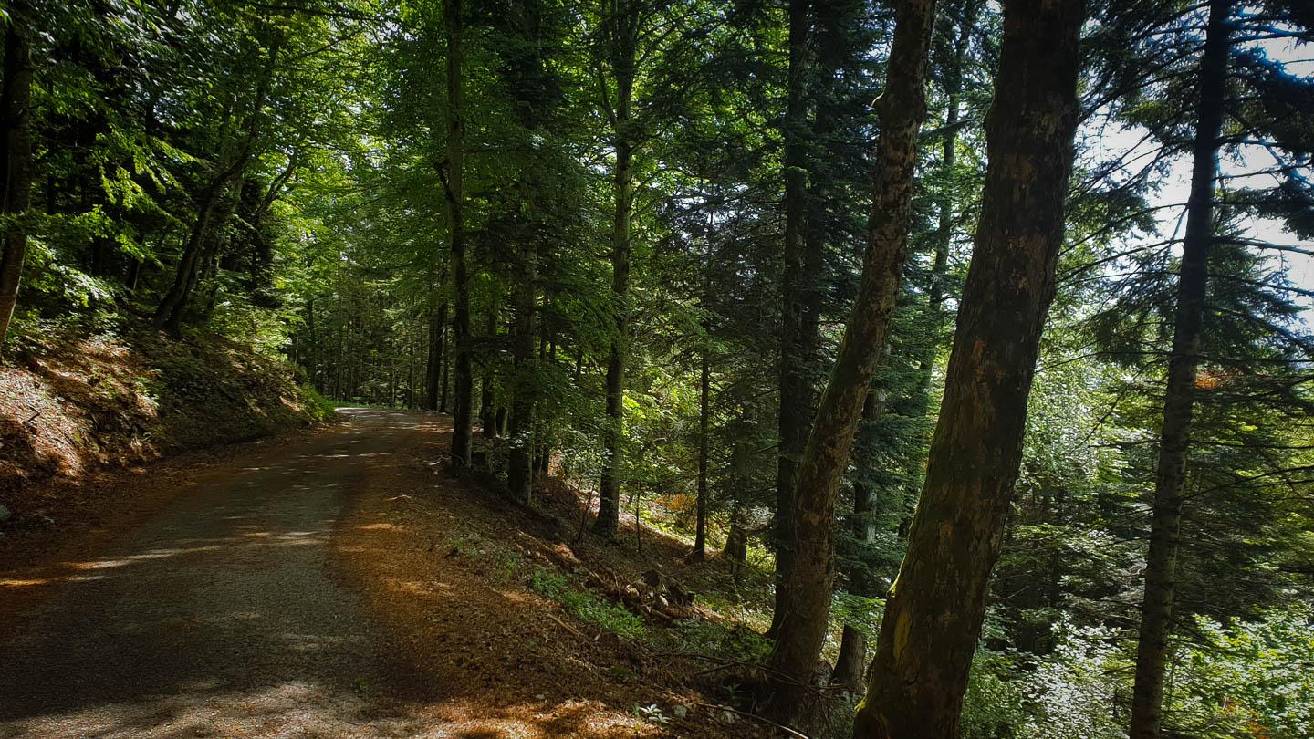
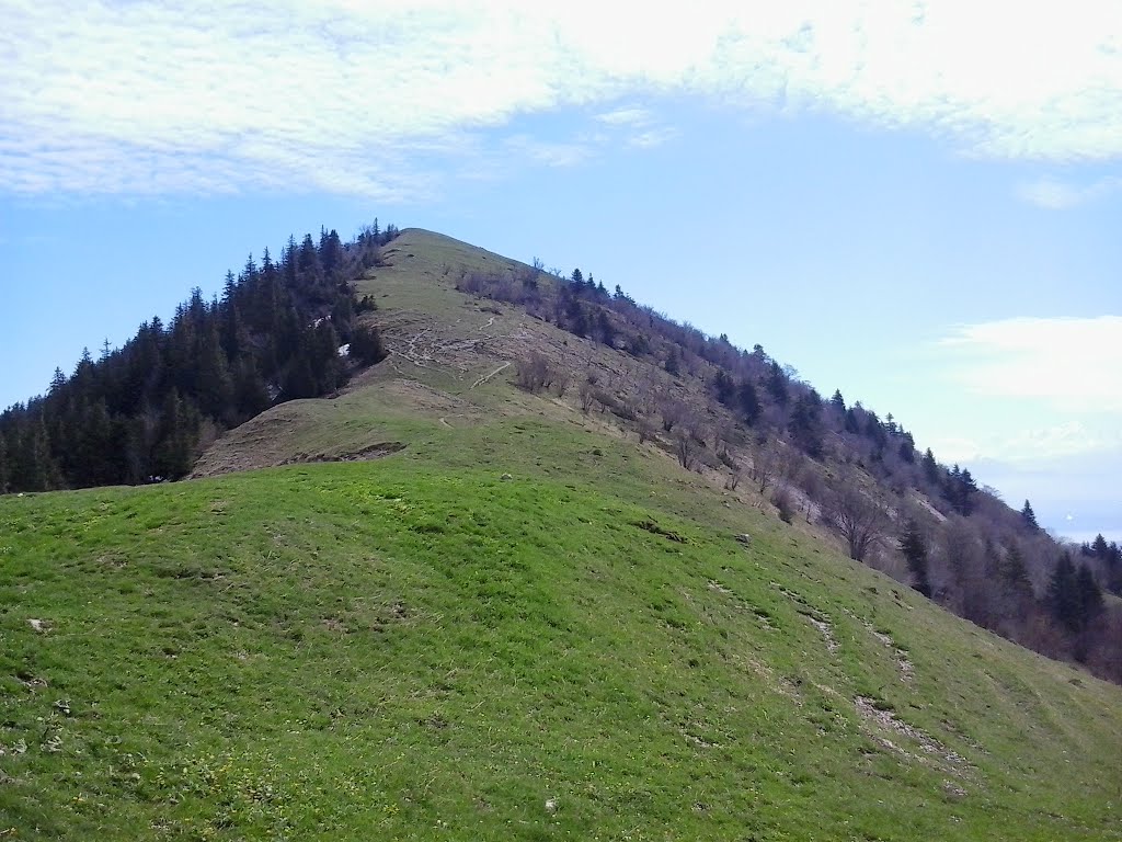
Departing from Échenevex, this hike climbs to Mont Chanais, located at an altitude of 1,446 metres. The first part of the ascent is steep, before becoming softer in the second part. Once at the top, the view of Lake Geneva is breathtaking.
The return to the starting point is via the same path.

Already more than 200,000 users!
Uphill
805m
Highest point
1462m
Downhill
805m
Lowest point
650m
Route type
There and back
Download the map on your smartphone to save battery and rest assured to always keep access to the route, even without signal.
Includes IGN France and Swisstopo.
I indicate whether dogs are allowed or prohibited on this trail
Can be difficult in Winter
0 ratings
Also enjoy:

Already more than 200,000 users!