Uphill
35m
Length
1km
Duration
30min
Elev gain
35m
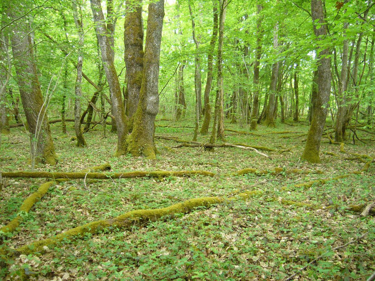
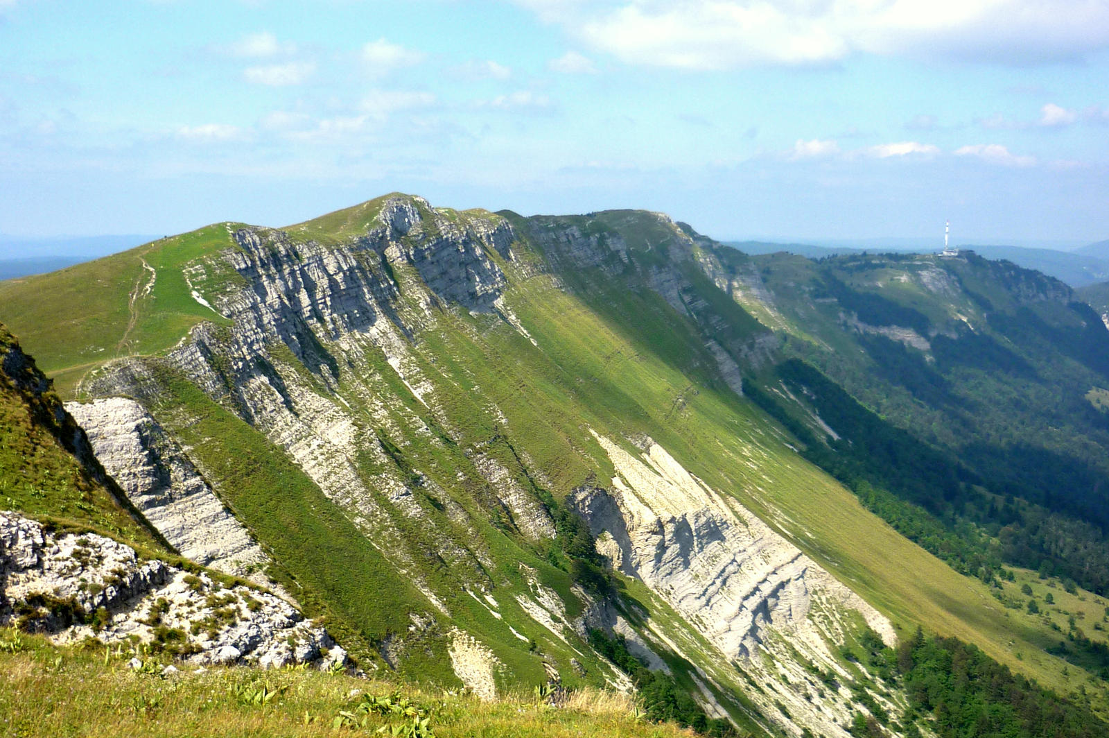
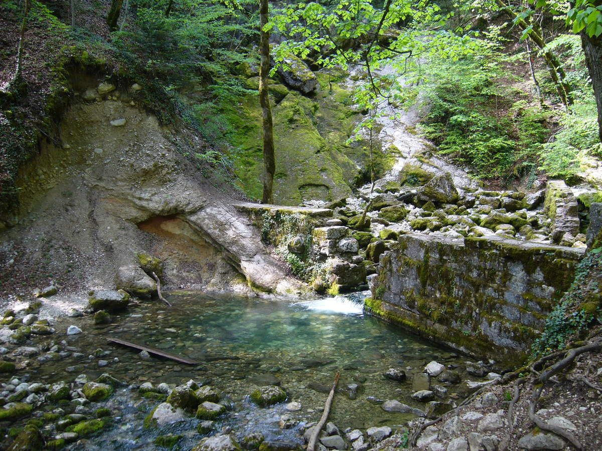
This route goes back and forth to the sources of Allondon, a true paradise. A picnic table is available for a break.

Already more than 200,000 users!
Uphill
35m
Highest point
597m
Downhill
35m
Lowest point
565m
Route type
There and back
Download the map on your smartphone to save battery and rest assured to always keep access to the route, even without signal.
Includes IGN France and Swisstopo.
I indicate whether dogs are allowed or prohibited on this trail
All year
1 rating
Also enjoy:

Already more than 200,000 users!