Uphill
137m
Length
7km
Duration
2h
Elev gain
137m
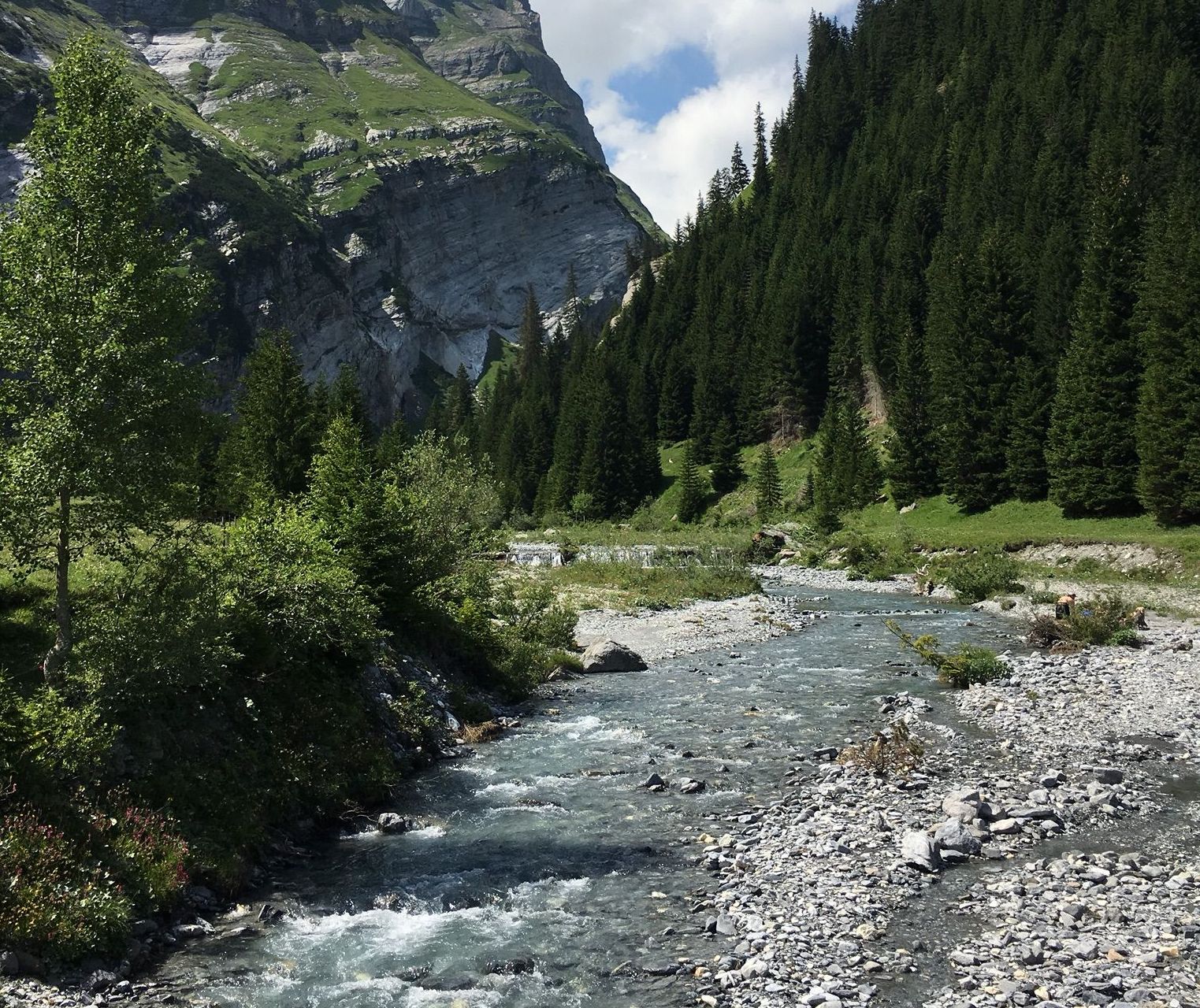
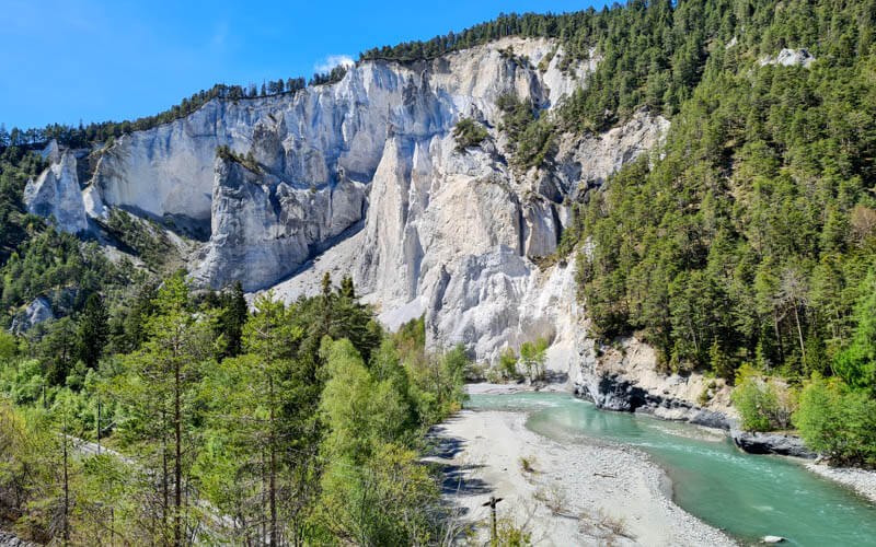
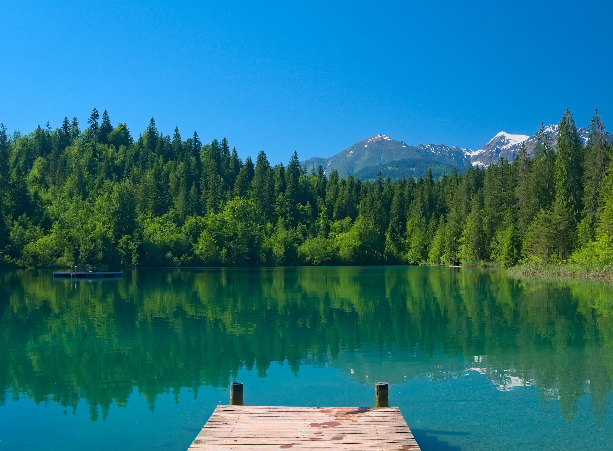
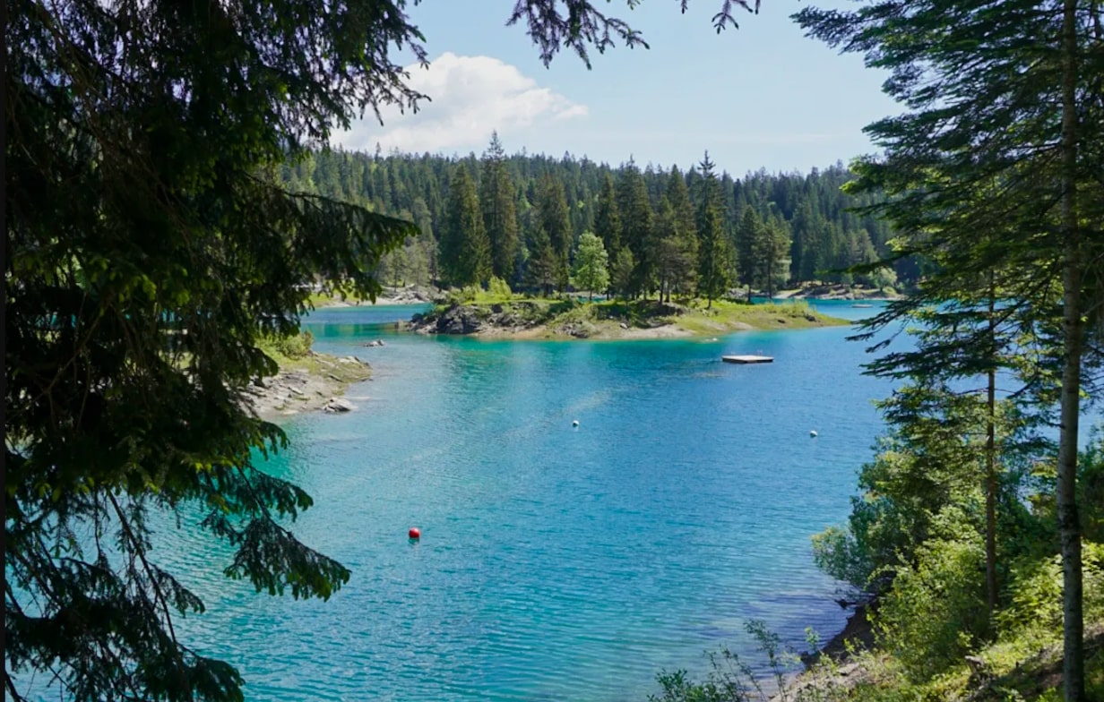
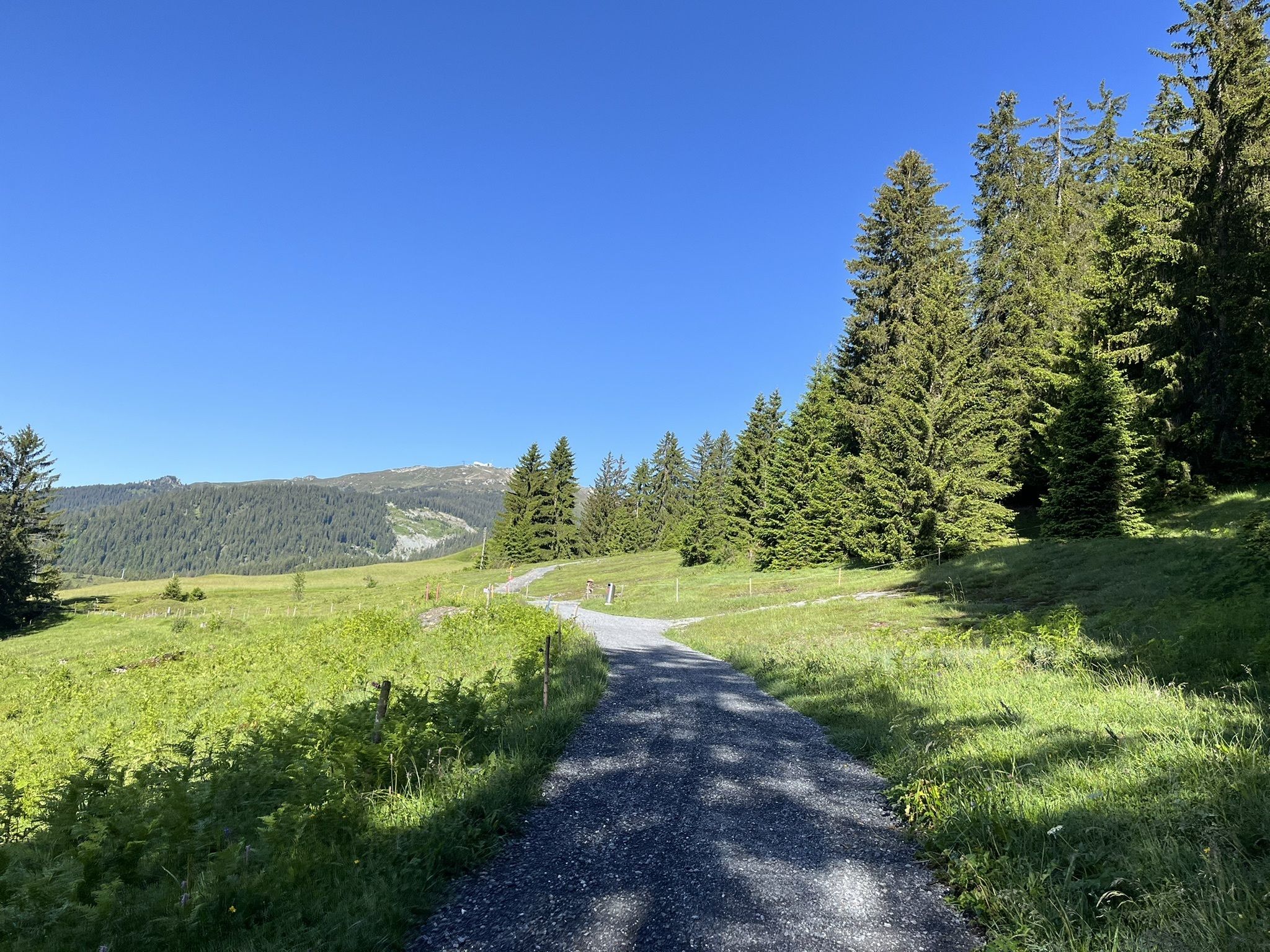
Departing from Trin Mulin, this hike is accessible to everyone. On a path relatively exposed to the sun, this walk crosses superb landscapes.

Already more than 200,000 users!
Uphill
137m
Highest point
879m
Downhill
137m
Lowest point
778m
Route type
Loop
Download the map on your smartphone to save battery and rest assured to always keep access to the route, even without signal.
Includes IGN France and Swisstopo.
I indicate whether dogs are allowed or prohibited on this trail
All year
0 ratings
Also enjoy:

Already more than 200,000 users!