Uphill
237m
Length
8km
Duration
2h30min
Elev gain
237m
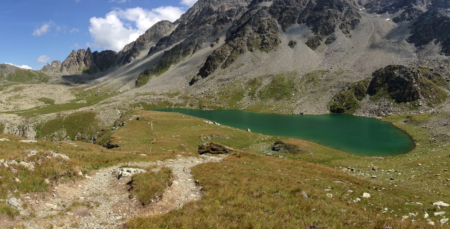
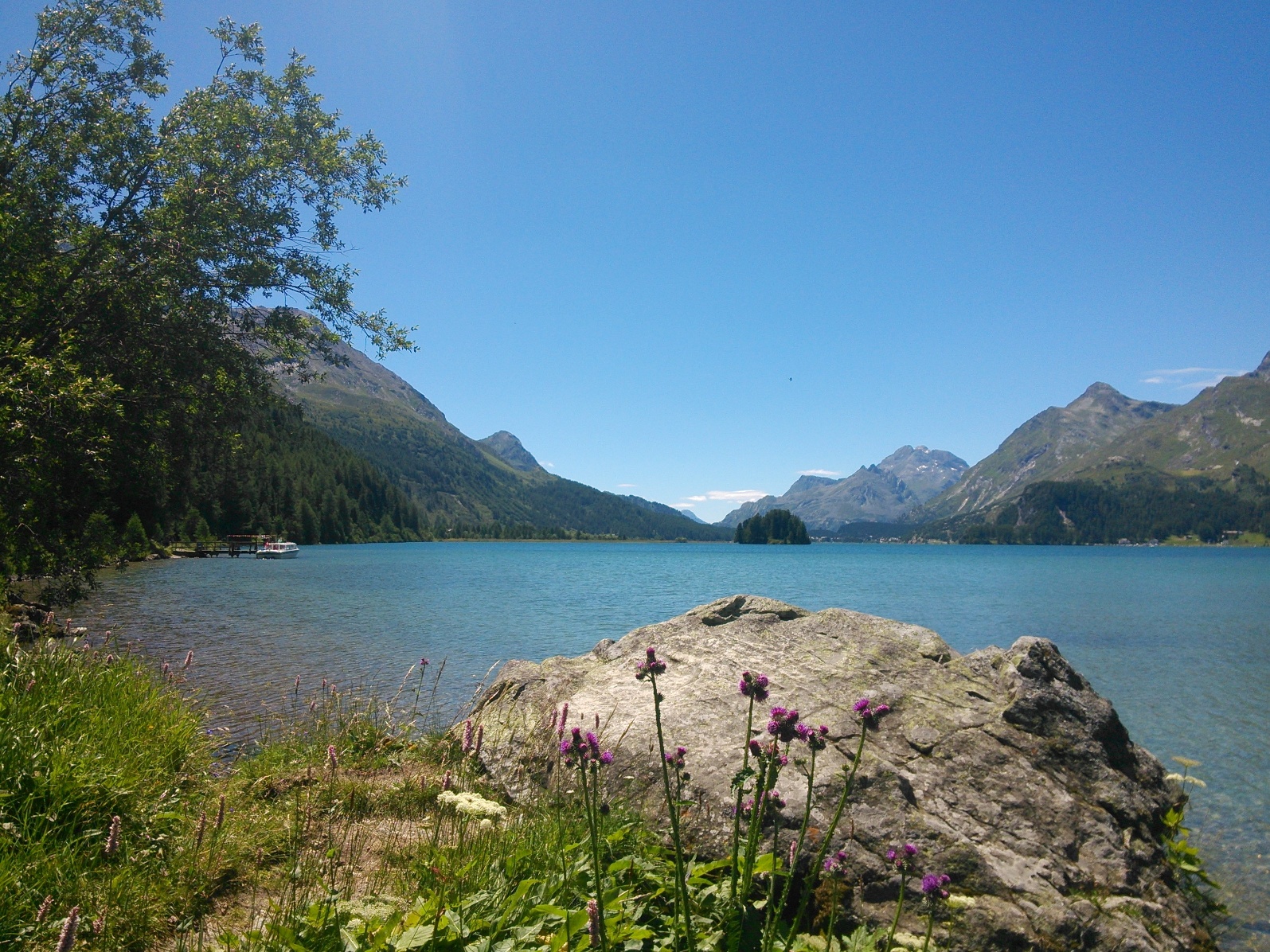
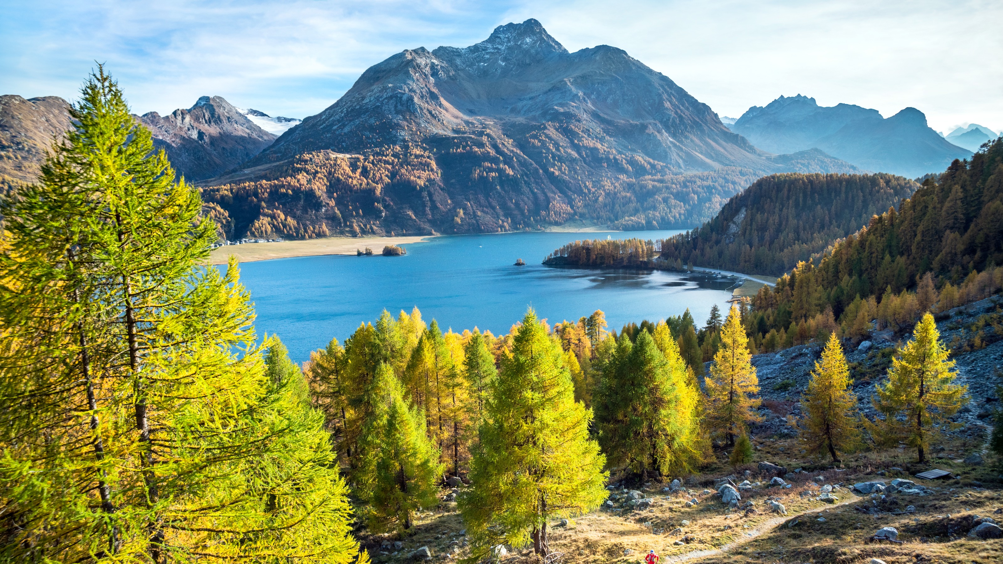
Departing from Sils-Maria, this short walk makes a loop near Lake Sils. The route passes through the forest overlooking the lake, offering superb views of the latter, then gains a little height to return by small roads and hamlets.

Already more than 200,000 users!
Uphill
237m
Highest point
2004m
Downhill
237m
Lowest point
1811m
Route type
Loop
Download the map on your smartphone to save battery and rest assured to always keep access to the route, even without signal.
Includes IGN France and Swisstopo.
I indicate whether dogs are allowed or prohibited on this trail
From May to September
0 ratings
Also enjoy:

Already more than 200,000 users!