Uphill
343m
Length
15km
Duration
4h30min
Elev gain
343m
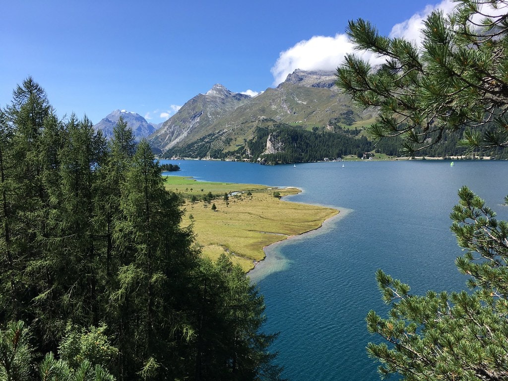
This route begins at the edge of Lake Sils, near the peninsula of Chastè. The trail runs along the shore to Isola, then continues until reaching Maloja. We then go to the other side of the bank, to cross a forest and then return to the starting point. Along the way, the views of the lake are absolutely incredible.

Already more than 200,000 users!
Uphill
343m
Highest point
1912m
Downhill
343m
Lowest point
1794m
Route type
Loop
Download the map on your smartphone to save battery and rest assured to always keep access to the route, even without signal.
Includes IGN France and Swisstopo.
I indicate whether dogs are allowed or prohibited on this trail
From May to October
0 ratings
Also enjoy:

Already more than 200,000 users!


