Uphill
606m
Length
14km
Duration
5h
Elev gain
606m
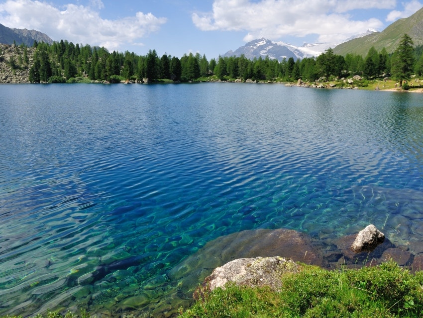
Starting from the Sfazù restaurant, this route climbs up to the very beautiful lake of Val Viola. This is an out and back trail, climbing steeply and steadily on the way out but eventually leading to a very beautiful natural spot.

Already more than 200,000 users!
Uphill
606m
Highest point
2172m
Downhill
606m
Lowest point
1611m
Route type
There and back
Download the map on your smartphone to save battery and rest assured to always keep access to the route, even without signal.
Includes IGN France and Swisstopo.
I indicate whether dogs are allowed or prohibited on this trail
From May to September
0 ratings
Also enjoy:

Already more than 200,000 users!


