Uphill
905m
Length
8km
Duration
6h
Elev gain
905m
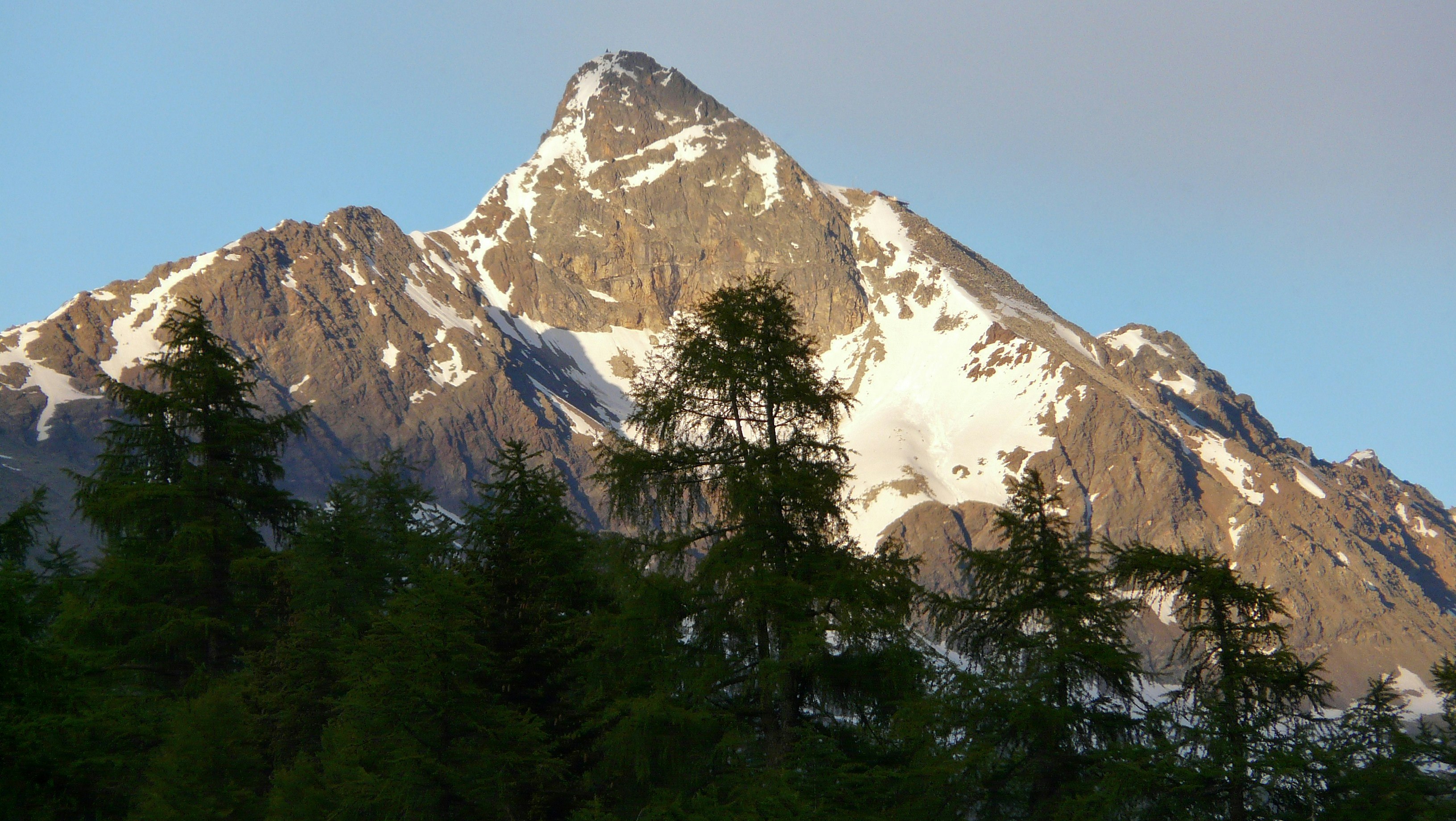
Starting from Alp Languard, this hike climbs up to Piz Languard, located at 3,261 meters above sea level. This round trip climbs a steep, steep path to the summit, where the views are absolutely fabulous. The return is by the same path.

Already more than 200,000 users!
Uphill
905m
Highest point
3207m
Downhill
905m
Lowest point
2315m
Route type
There and back
Download the map on your smartphone to save battery and rest assured to always keep access to the route, even without signal.
Includes IGN France and Swisstopo.
I indicate whether dogs are allowed or prohibited on this trail
From June to September
0 ratings
Also enjoy:

Already more than 200,000 users!


