Uphill
1309m
Length
18km
Duration
9h
Elev gain
1309m
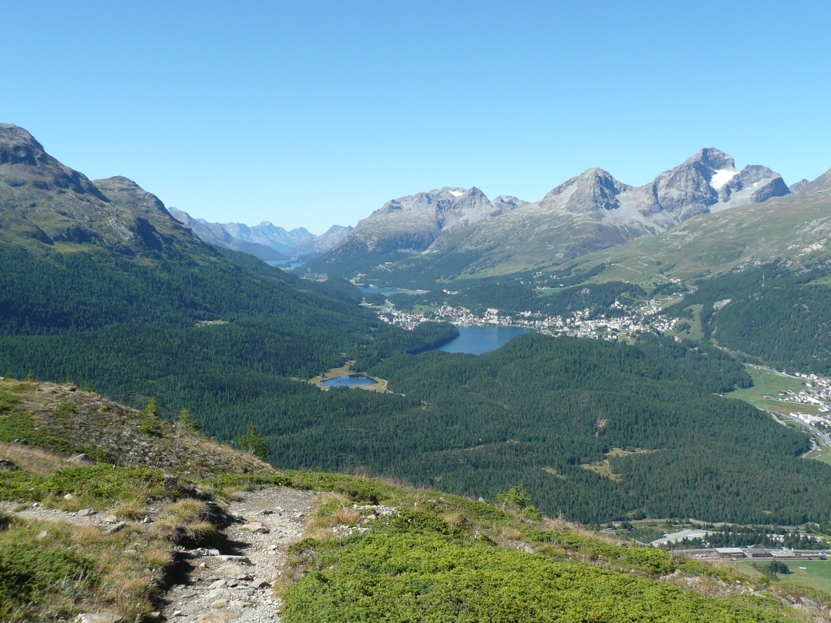
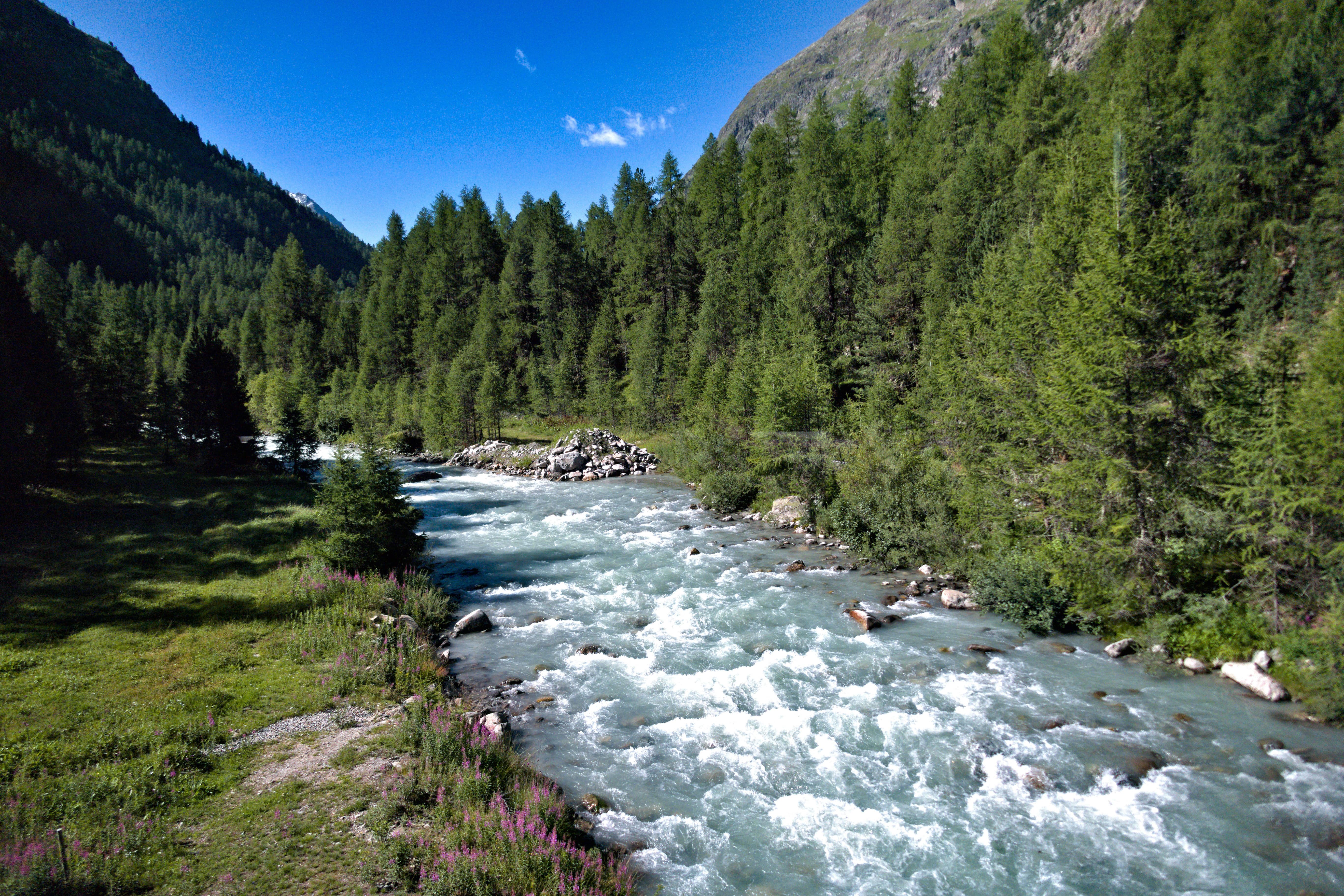
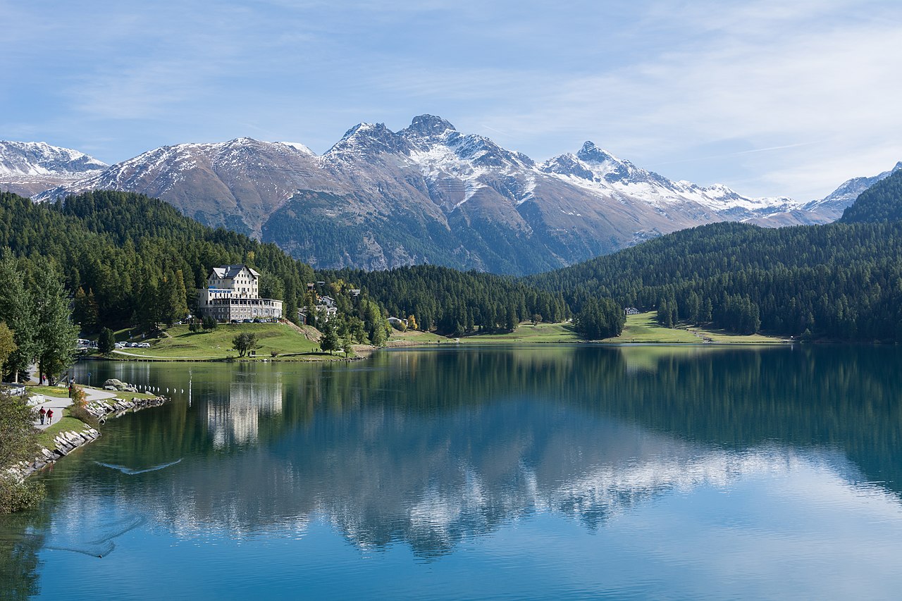
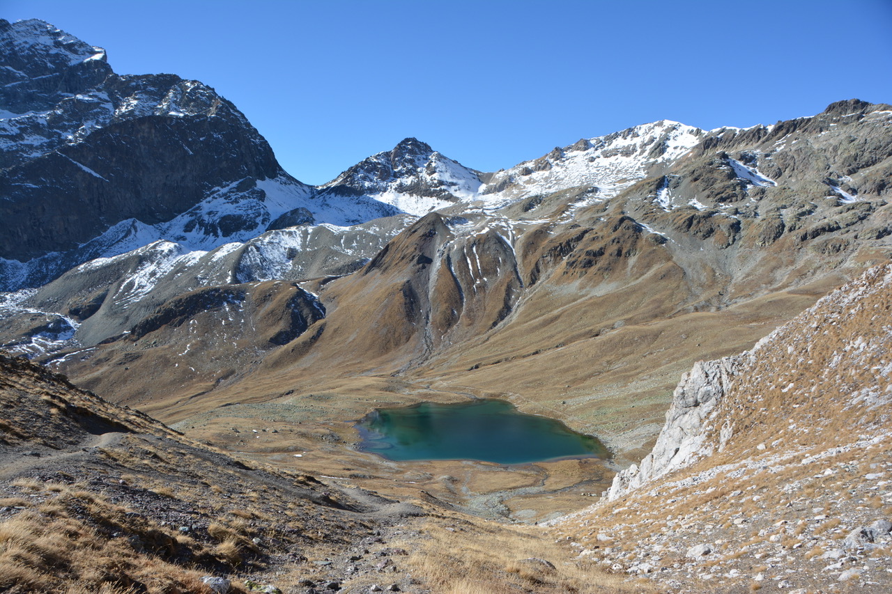
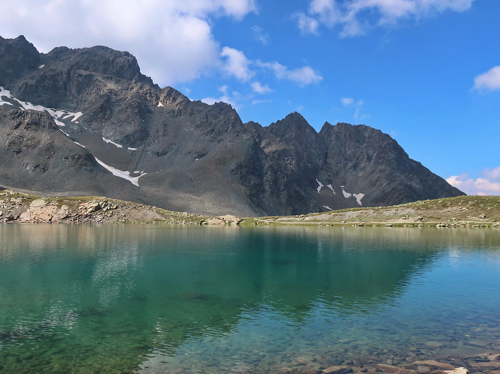
Departing from Punt Muragl station, this walk passes by the Muottas Muragl to lead to the beautiful Lake Lej Muragl. The route crosses the Muragl plateau and once at the lake, offers great views of the Engadine and Upper Engadine lake region.

Already more than 200,000 users!
Uphill
1309m
Highest point
2746m
Downhill
1309m
Lowest point
1738m
Route type
There and back
Download the map on your smartphone to save battery and rest assured to always keep access to the route, even without signal.
Includes IGN France and Swisstopo.
I indicate whether dogs are allowed or prohibited on this trail
From June to September
0 ratings
Also enjoy:

Already more than 200,000 users!