Uphill
190m
Length
6km
Duration
2h
Elev gain
190m
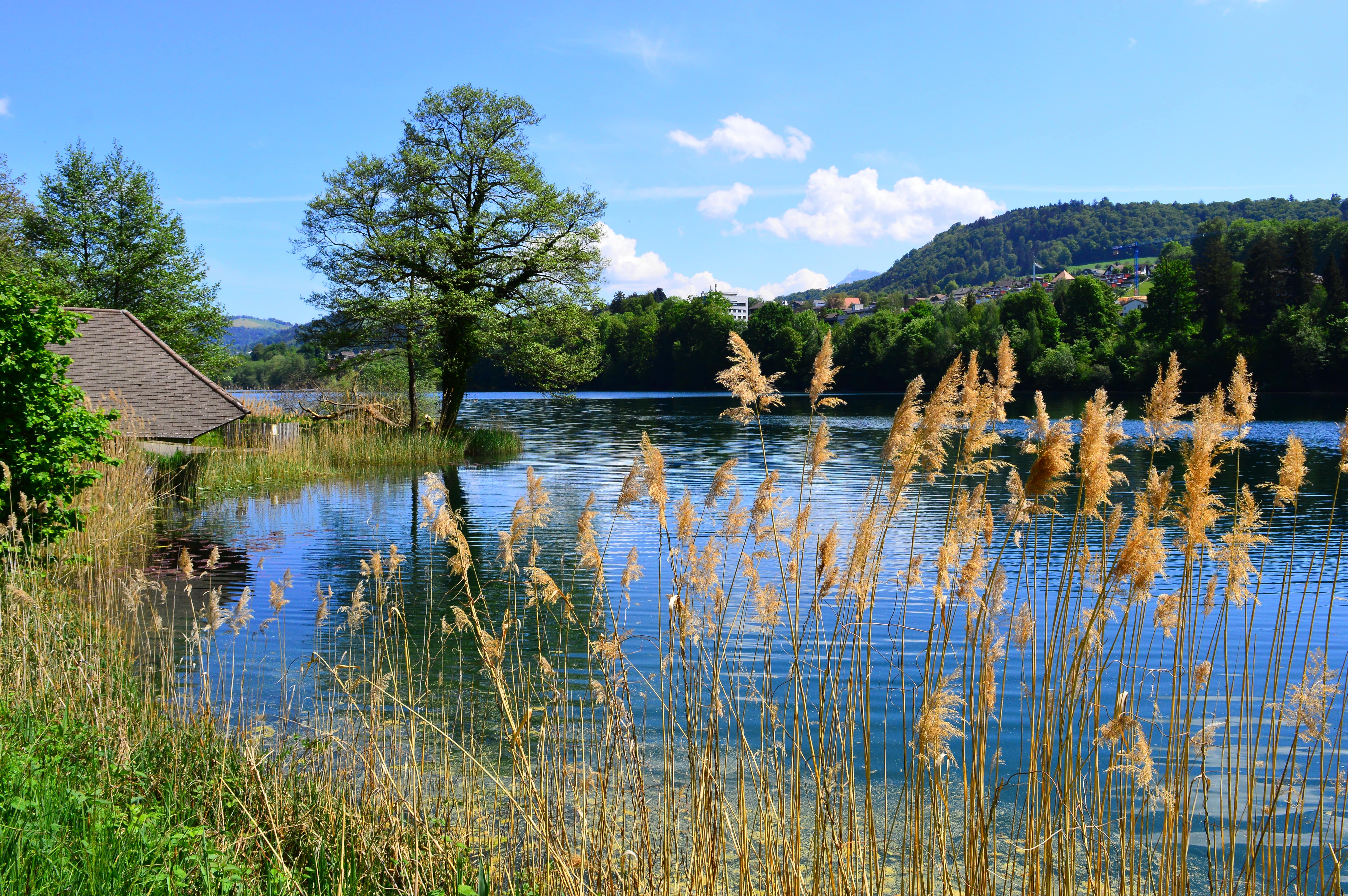
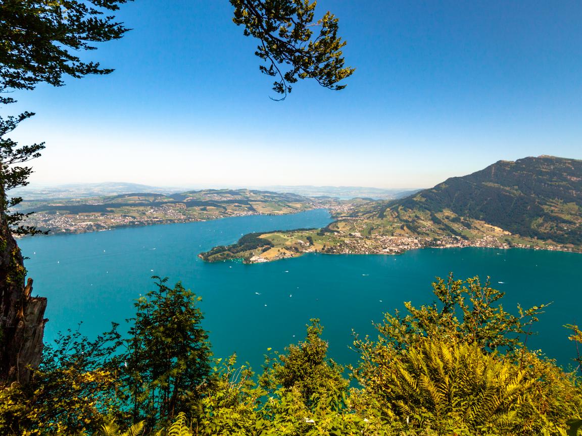
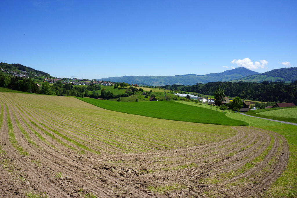
Departing from Adligenswil, this hike makes a short loop around the town. Between idyllic fields and meadows, the trail passes through Dottenberg and then continues to the Oberänetweid viewpoint before returning to the starting point.

Already more than 200,000 users!
Uphill
190m
Highest point
726m
Downhill
190m
Lowest point
530m
Route type
Loop
Download the map on your smartphone to save battery and rest assured to always keep access to the route, even without signal.
Includes IGN France and Swisstopo.
I indicate whether dogs are allowed or prohibited on this trail
All year
0 ratings
Also enjoy:

Already more than 200,000 users!