Uphill
1341m
Length
9km
Duration
5h30min
Elev gain
1341m
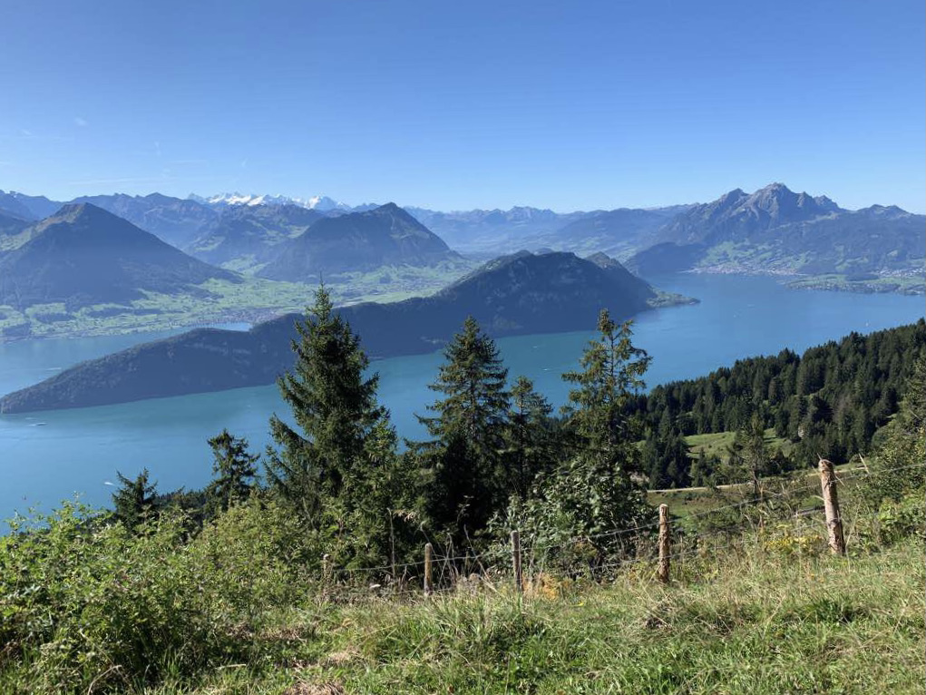
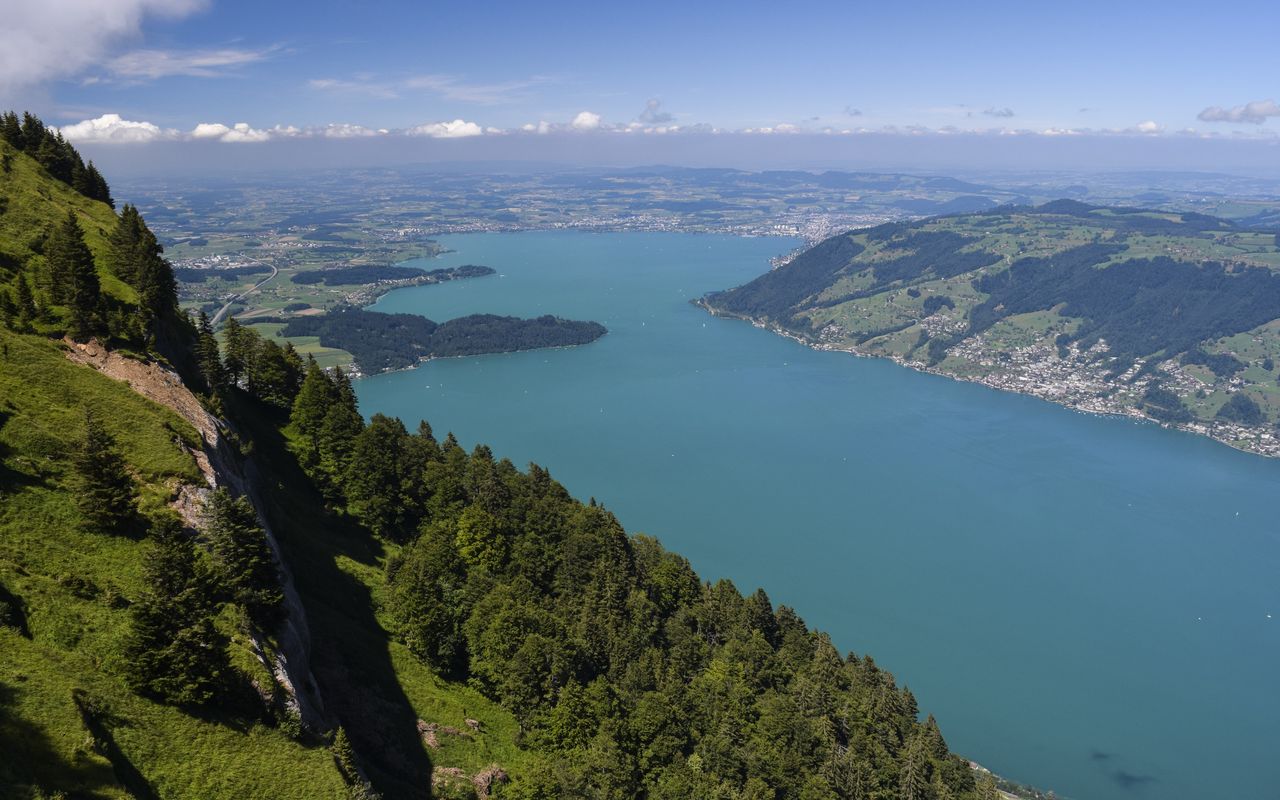
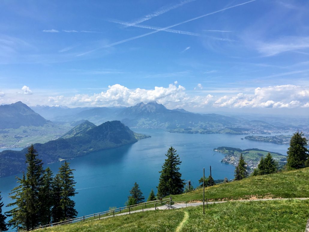
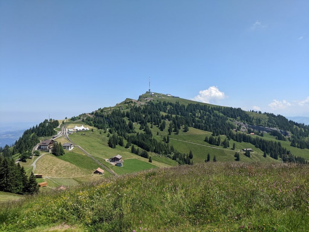
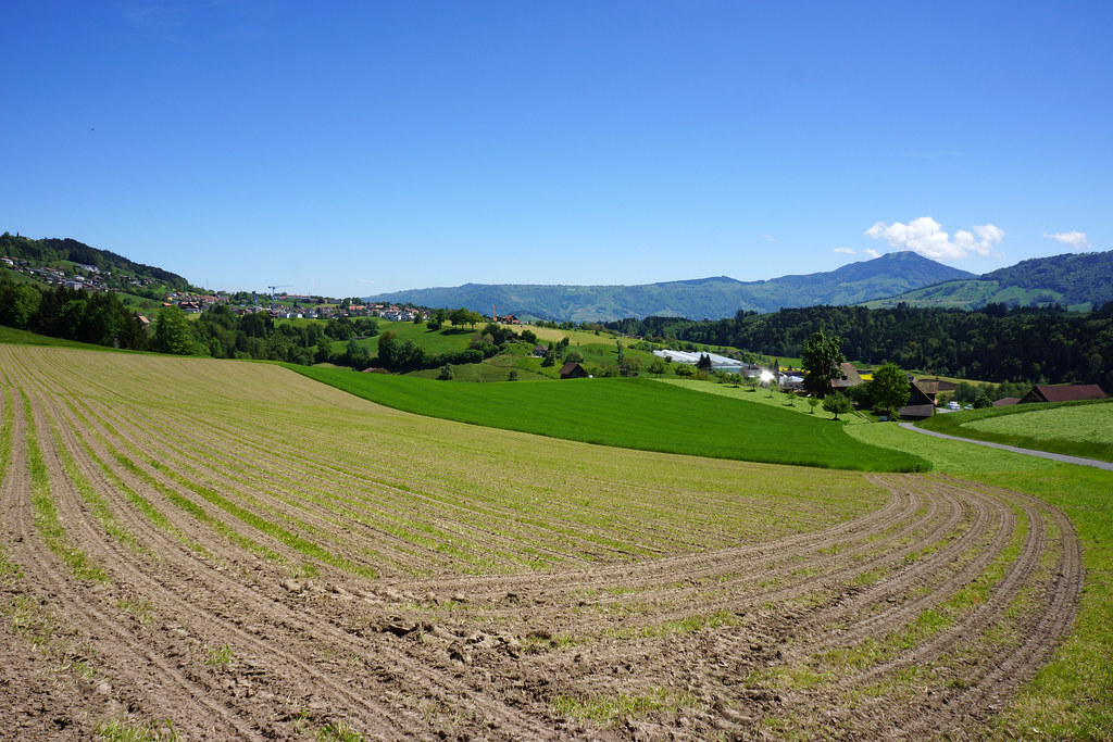
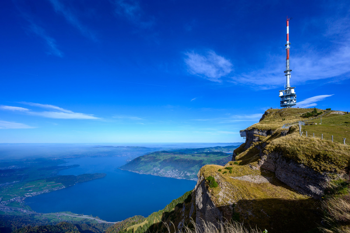
Here is a hike that is particularly worth the detour. Indeed, this route climbs in a steep and regular way up to Mount Rigi, located at 1,798 meters above sea level. The route is punctuated with pleasant places to eat and ends up leading to a panoramic view of Lake Lucerne and its surroundings, grandiose. The return can be made by funicular.

Already more than 200,000 users!
Uphill
1341m
Highest point
1790m
Downhill
14m
Lowest point
452m
Route type
One way
Download the map on your smartphone to save battery and rest assured to always keep access to the route, even without signal.
Includes IGN France and Swisstopo.
Parking at the start of the hike.
Küssnacht station near the start.
The return is via the Rigi Kulm funicular.
I indicate whether dogs are allowed or prohibited on this trail
From May to October
1 rating
Also enjoy:

Already more than 200,000 users!