Uphill
138m

Length
7km
Duration
2h
Elev gain
138m
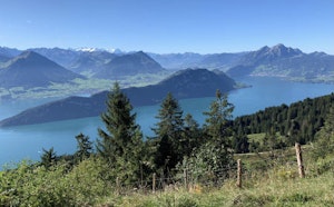
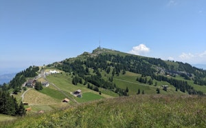
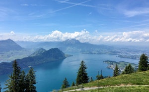
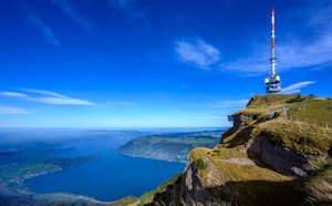
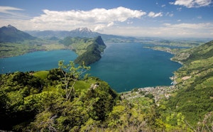
Family walk from Seebodenalp, accessible by cable car from Küssnacht. The course makes a nice little loop on a panoramic path, offering pretty views of Lake Lucerne as well as Mount Rigi.

Already more than 200,000 users!
Uphill
138m
Highest point
1128m
Downhill
138m
Lowest point
1011m
Route type
Loop
Download the map on your smartphone to save battery and rest assured to always keep access to the route, even without signal.
Includes IGN France and Swisstopo.
I indicate whether dogs are allowed or prohibited on this trail
Can be difficult in Winter
1 rating
Also enjoy:

Already more than 200,000 users!