Uphill
675m
Length
7km
Duration
4h30min
Elev gain
675m
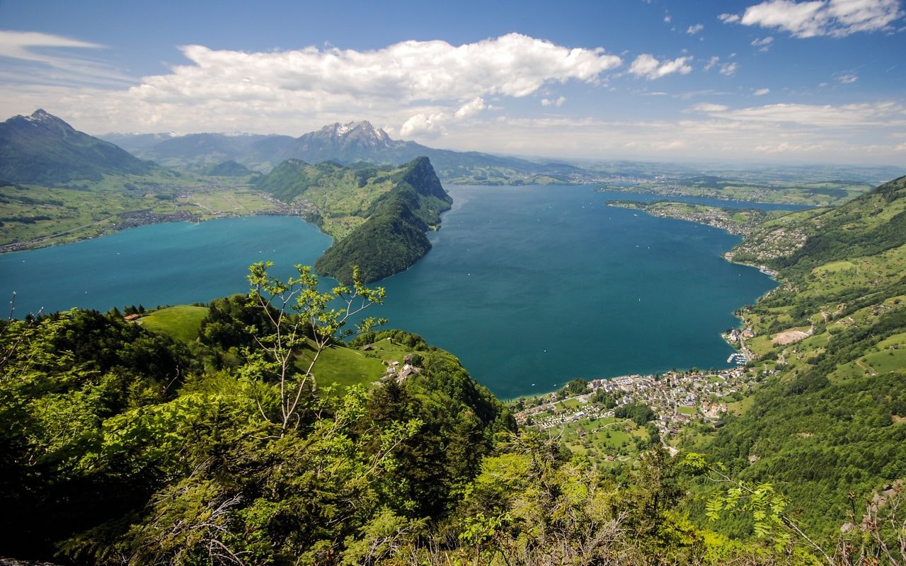
Departing from Vitznau, this hike makes a nice loop around the town. The route notably passes through Hinterbergen then Gabetswill, and offers superb views of the Lake of the Four Cantons.

Already more than 200,000 users!
Uphill
675m
Highest point
1120m
Downhill
675m
Lowest point
447m
Route type
Loop
Download the map on your smartphone to save battery and rest assured to always keep access to the route, even without signal.
Includes IGN France and Swisstopo.
I indicate whether dogs are allowed or prohibited on this trail
Can be difficult in Winter
0 ratings
Also enjoy:

Already more than 200,000 users!


