Uphill
1129m
Length
14km
Duration
7h30min
Elev gain
1129m
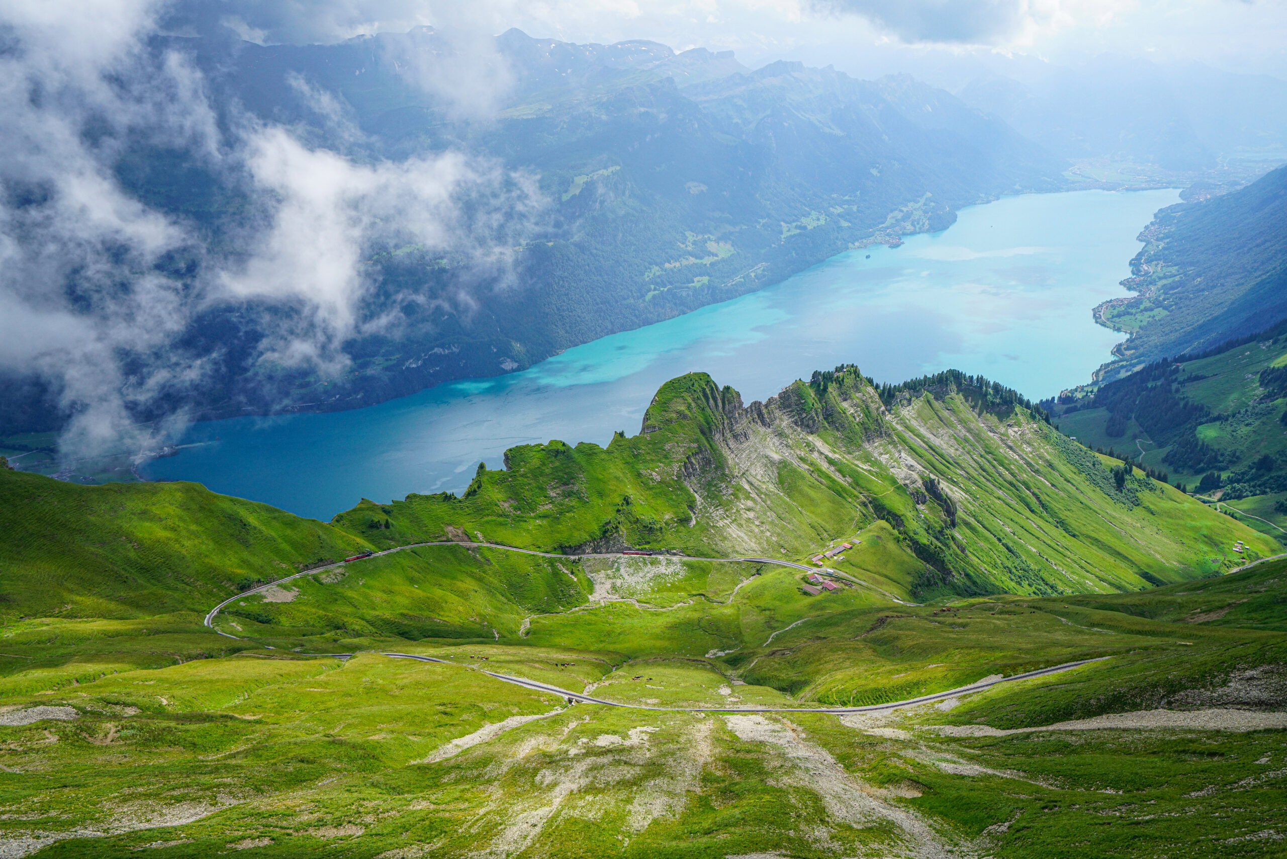
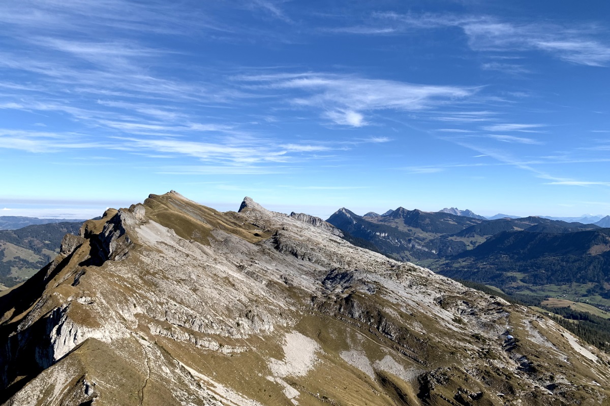
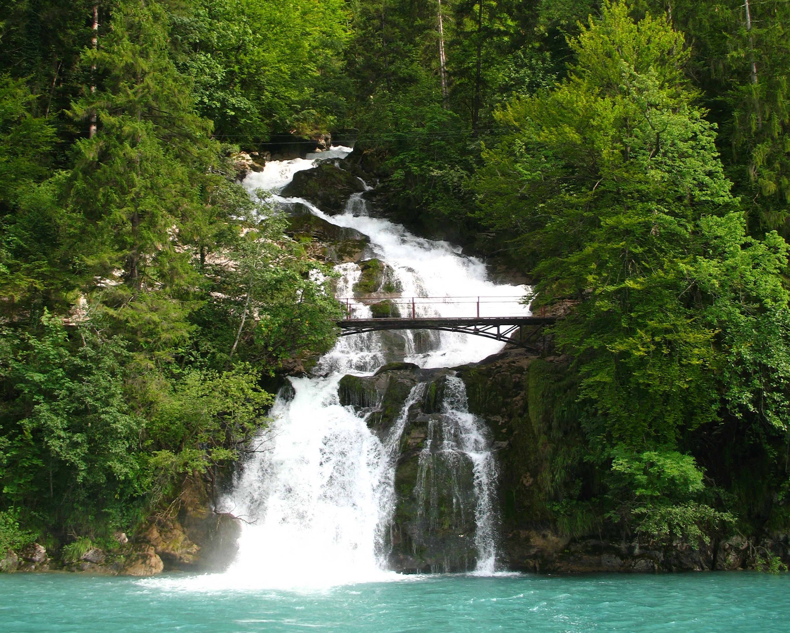
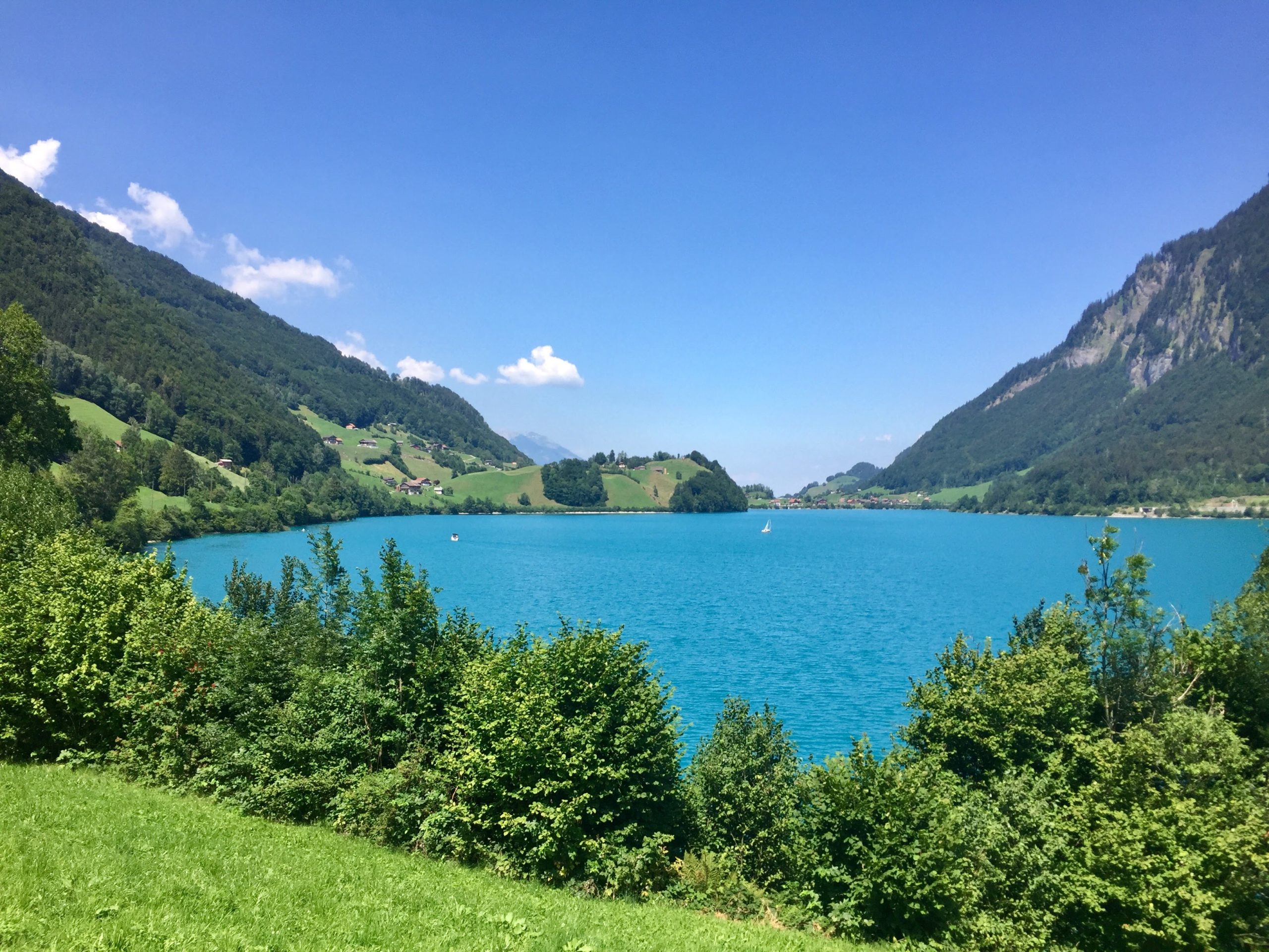
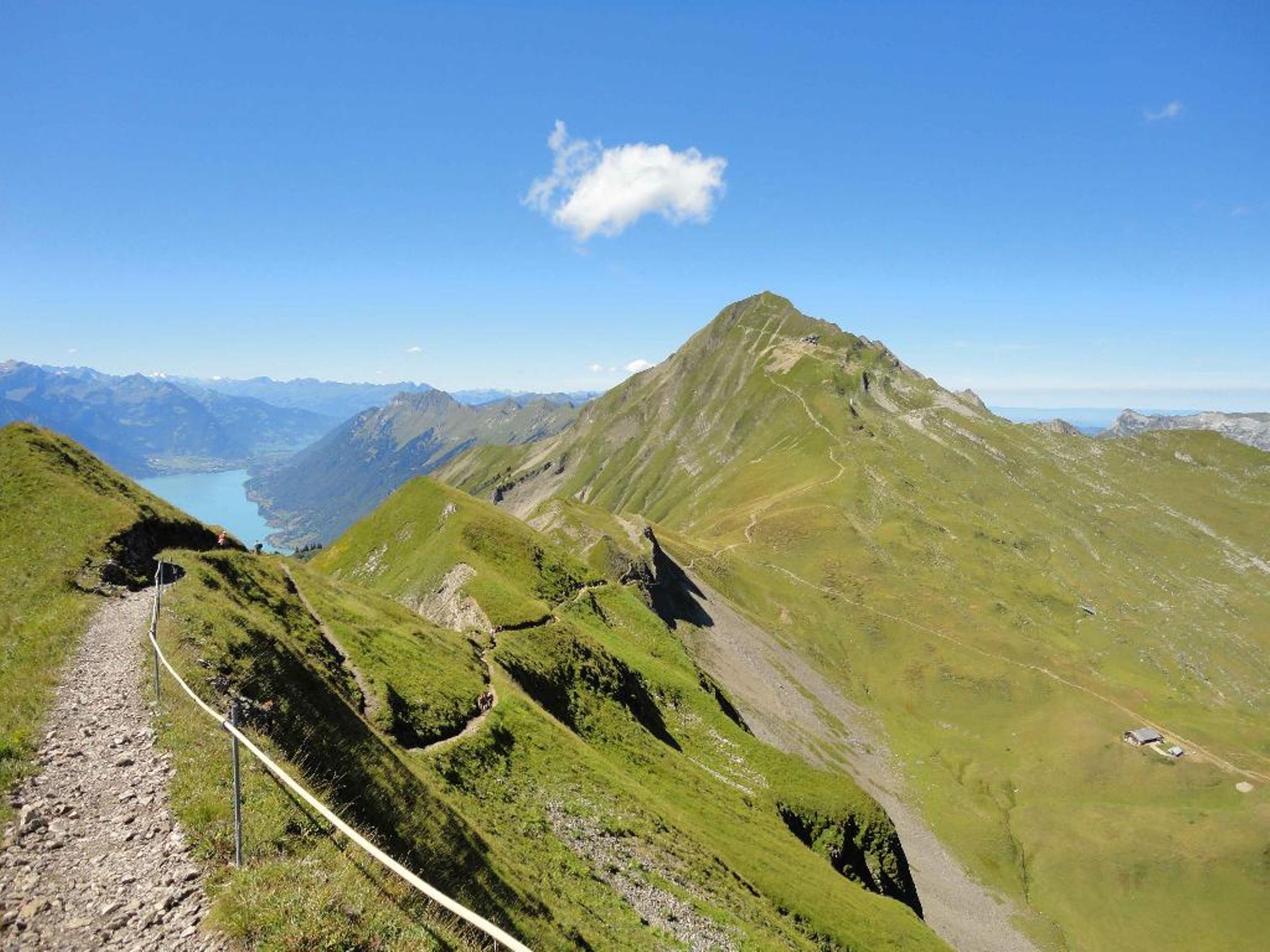
Nice hike to climb the Brienzer Rothorn, a summit which culminates at 2,348 meters above sea level. The route makes a loop and also passes through the Schongütsch (2,319 m) as well as Lake Eisee during the descent. At the top is a restaurant, ideal for taking a short break and recharging your batteries before descending.

Already more than 200,000 users!
Uphill
1129m
Highest point
2330m
Downhill
1129m
Lowest point
1235m
Route type
Loop
Download the map on your smartphone to save battery and rest assured to always keep access to the route, even without signal.
Includes IGN France and Swisstopo.
I indicate whether dogs are allowed or prohibited on this trail
From May to September
1 rating
Also enjoy:

Already more than 200,000 users!